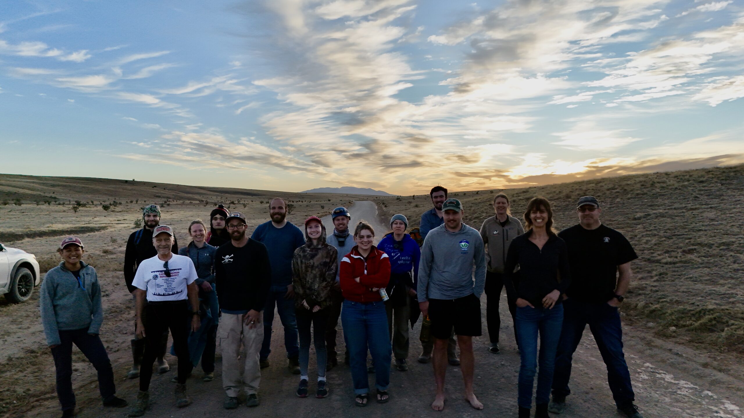
Participants
- Evan Bowen
- Lauren Giles
- Mike Mansur
- Ryan Marshall
- Carl Marx
- Austin McCrary
- Pierson Miller
- Andrew Orr
- Levi Ramsey
- Carrin
- Cameron Sanchez
- Alex Seaton
- Erin Vair-Grilley
- Aurelia Vargas
- Tom Weber
- Piper Weekly
- Minori Yoshida
- Joe
- Anika
- Dan
Friday 7th February
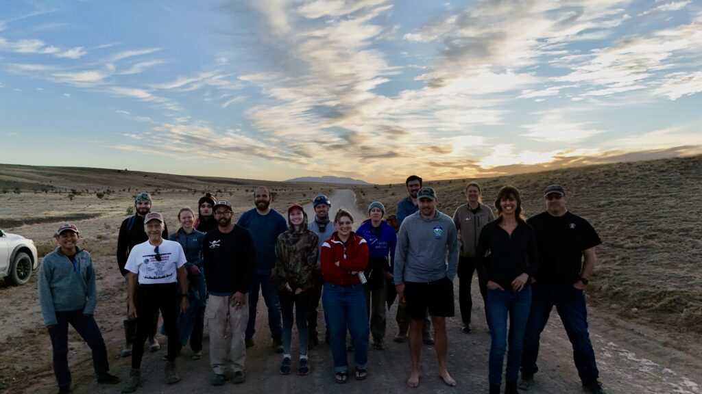
People began arriving at the field house from around 6pm. We had a record number showing up, so had reminded everyone to bring sleeping pads and potentially tents in case the bunks got too crowded.
Alex and Minori arrived at around 7pm. After unloading the truck, we got started preparing food for the weekend. This time around Friday’s meal was shakshuka, while for Saturday Minori had planned a tomatillo & pork stew.
Once the shakshuka was ready we sat down for dinner before resuming preparation of Saturday’s meal. Simultaneously, Alex briefed the participants new to the project on what our goals are, and what to expect on Saturday. With the briefing out of the way, we arranged teams for Saturday. The plan was for six teams with the usual mix of ridgewalking and survey.
Unfortunately at this point Minori, who’d been feeling somewhat under the weather during the day, decided that something really didn’t feel right, and so headed to Ruidoso with Erin to visit urgent care. Given that she would likely be out of action for the next day, we consolidated down to five teams. [Minori was fine in the end, but had to drop out for Saturday’s caving.]
Saturday 8th February
Deception Cave Survey
Alex Seaton (TL), Pierson Miller, Cameron Sanchez, Tom Weber
Deception cave had been briefly investigated on November’s trip by Carrin, Joshua, and Pierson. They had discovered what appeared to be a significant cave, with a large walking-height passage. Our team’s objective was to return and begin a survey of the cave.
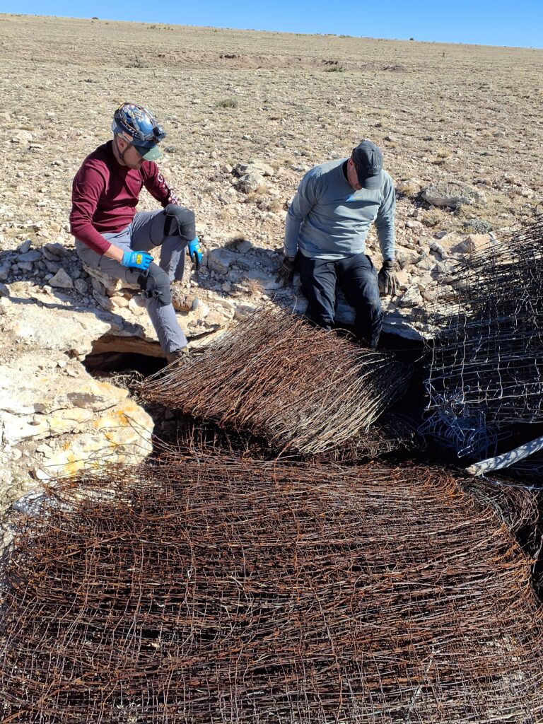
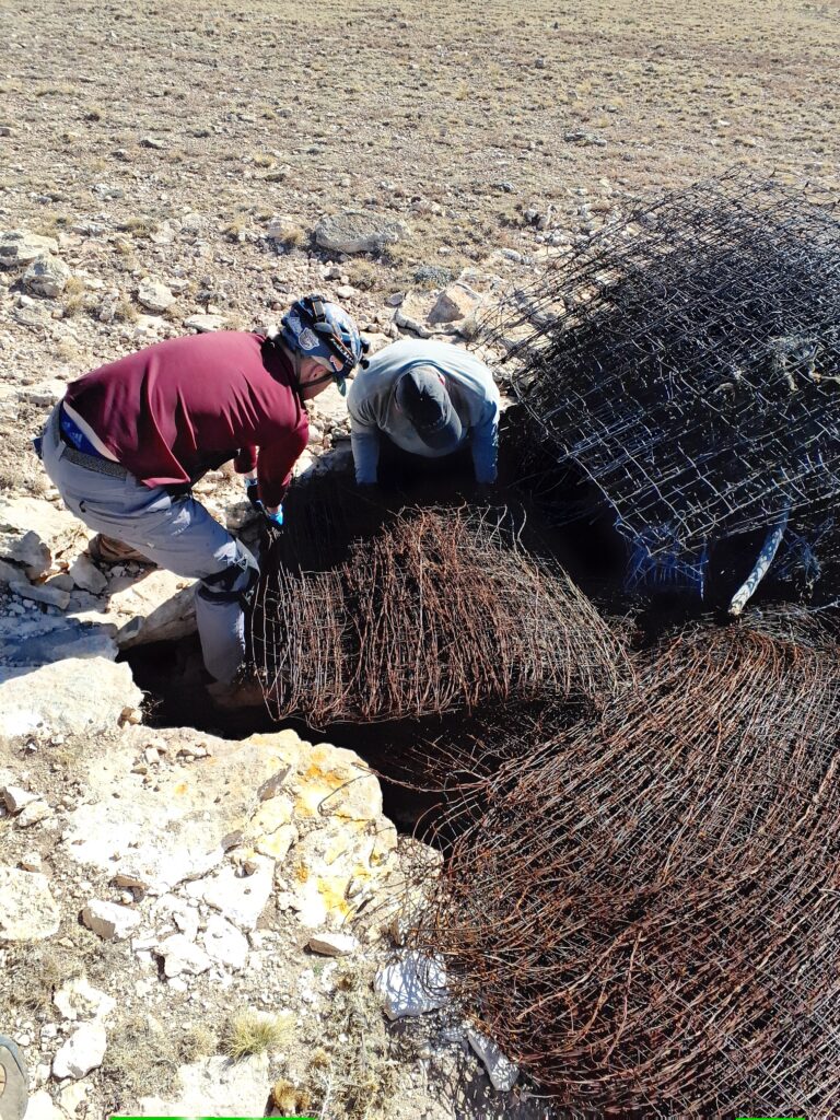
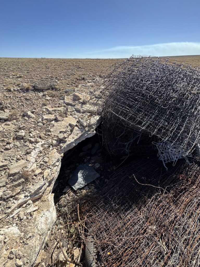
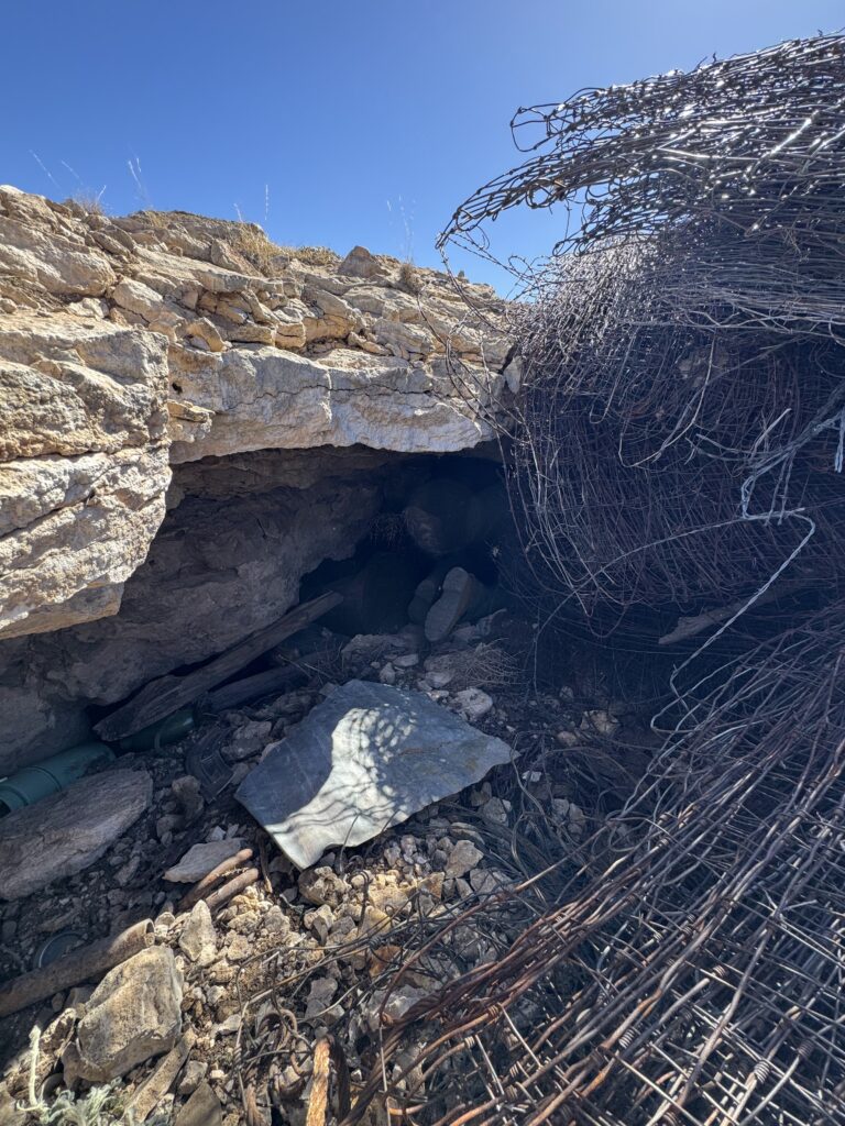
After a little confusion about the route to the cave, we finally made it out to the area of interest by around 11:30am. Before starting our survey, we investigated a nearby doline that appeared to be a drainage sink. This looked promising, but had a pile of giant limestone boulders blocking the way. On top of the boulders, someone had dumped a large collection of fencing wire, which might also be blocking a possible entrance. Nevertheless we did find two promising looking routes that might lead down through the boulders. One was too tight and would need enlarging, while the other was thoroughly investigated by Tom, who found nothing other than a collection of cactus spines that were soon embedded in his clothes. Fun!
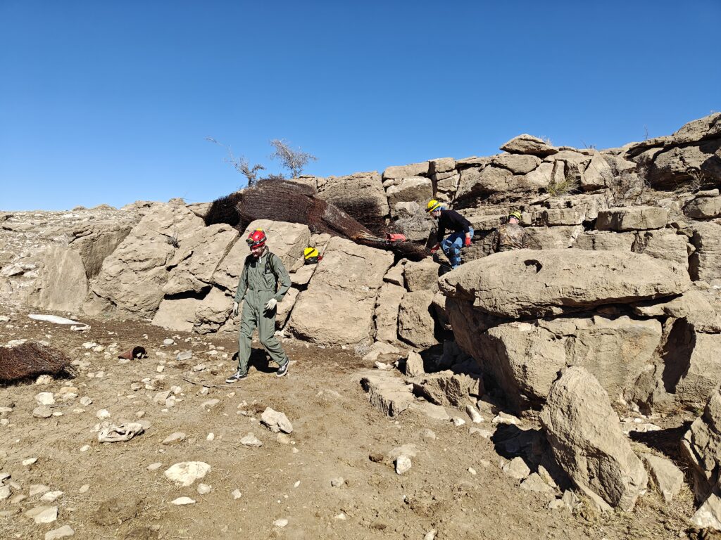
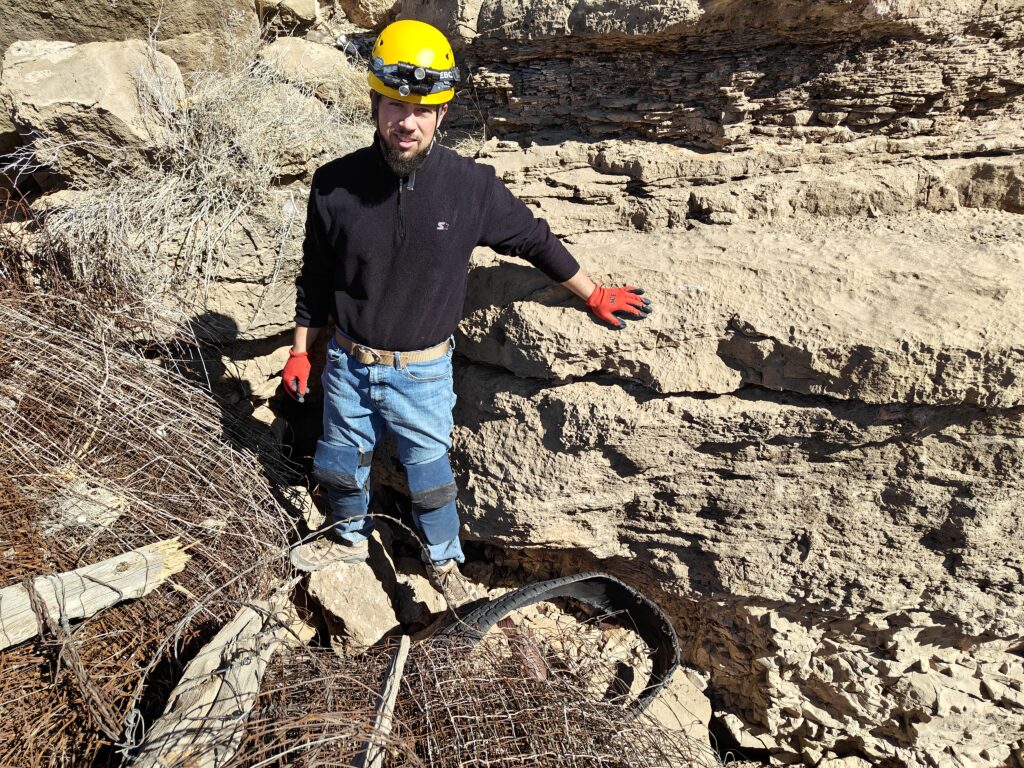
Once Tom had finished picking cactus spines out of his gear, we headed over to our original objective. At this point, we noticed smoke to the south, and Alex received texts from Knutt warning that there was a grass fire. Things weren’t off to a great start! Nevertheless, with the wind blowing east, and the fire being a long way to our south, we decided that it was safe to continue into the cave.
At this point we got out the survey gear, and assigned roles to the team members. Cameron was relatively new to survey, but volunteered to run the tablet and disto. Having visited the cave before, Pierson offered to set stations. After a brief introduction for Cameron to TopoDroid, we got to work. For this trip, since we didn’t know how far the cave went, we decided to limit things to line survey.
The entrance to the cave is a slot around 4ft wide, and 1.5ft high in limestone. Inside, the cave opens up into a small entrance chamber with room to sit up. We surveyed in, and Pierson continued on into the cave to figure out the best route forward. This seemed to be taking him a long time, so after a while we called out to him to ask what was causing the delay. He explained that he wasn’t sure where to go: every route he had tried led to a dead end.
Pierson called back to us that he was going to do some more investigation to see if he could find the way on, so in the meantime Alex and Tom decided to investigate the other passages accessible from the entrance chamber. There were several promising looking routes, but all of them closed down. Tom spotted one lead that went vertically down through the breakdown, but it was too tight to enter and would involve squeezing past a very large, loose boulder. We decided this was not pursuing further.
By this point, Pierson still hadn’t found a way on, so we all made our way to the part of the cave he was exploring to see what the situation was. We dropped through a small hole in the entrance chamber into a larger chamber with space to stand up. Here, there were several possible ways on, but all of them closed down. On closer inspection, we found an area where water seemed to be draining, which interestingly also had the only exposed gypsum we had seen so far. Unfortunately though, the drainage patterns just fed into sediment, and there was no way on.
With no significant cave to survey or any realistic prospect of finding more passage, we decided to abandon the survey and head out.
Back on the surface, we received a flurry of texts that had been sent while we’d been underground. It seemed that the Wedgie cave team had needed some assistance, but by the time we received the texts the situation had been resolved.
By this point it was around 3pm, and most of the day was over. With the other ridgewalking team’s goal being to investigate the area we were in, there wasn’t much left for us to do. It was still a little early to head back to the field house, so Alex suggested that we go and investigate the entrance to 3B-JD cave, which would only require a small detour on our way back. We’ve been meaning to explore this for a while, but haven’t had an opportunity.
On reaching the entrance to the cave, we noticed that one of the boulders at the entrance was loose. If this came free while someone was climbing down into the cave, it would be very bad news. We decided it was probably best to try and dislodge it. Cameron was able to kick it until it dropped part way down the entrance, but it just got wedged in an equally precarious position further down. Fortunately, Pierson was able to kick it from there all the way to the bottom.
By this point it was time to head back to the field house, but at least we had achieved something by making the entrance to the cave safer to navigate.
Wedgie Cave Survey
Erin Vair-Grilley (TL), Piper Weekly, Anika
Piper, Anika and Erin headed out to the field with the goal of surveying a couple of remaining leads in Wedgie cave as well as completing cross sections as they were leaving the cave. The weather was pleasant, no snow and the winds were mild.
Erin had helped find Wedgie cave initially, but Piper and Anika had never been to this cave, and Erin had only been into the cave up to the pinch point where the cave drops down into a going lower level.
After navigating through the tight stream like passage and dropping through the (very!) tight constriction point that gave the cave its name, we proceeded through the cave for a while. We spotted two bats hanging on the walls, one of which woke up, but quickly went back to sleep.
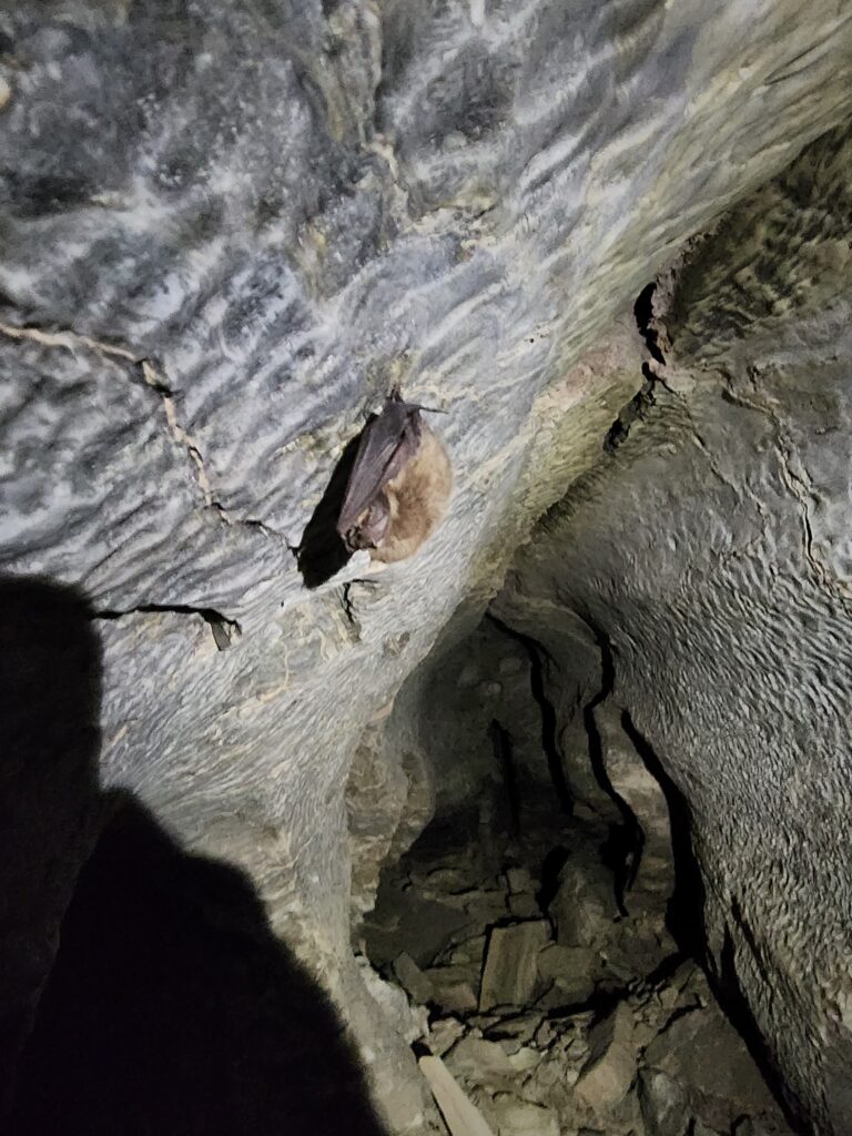
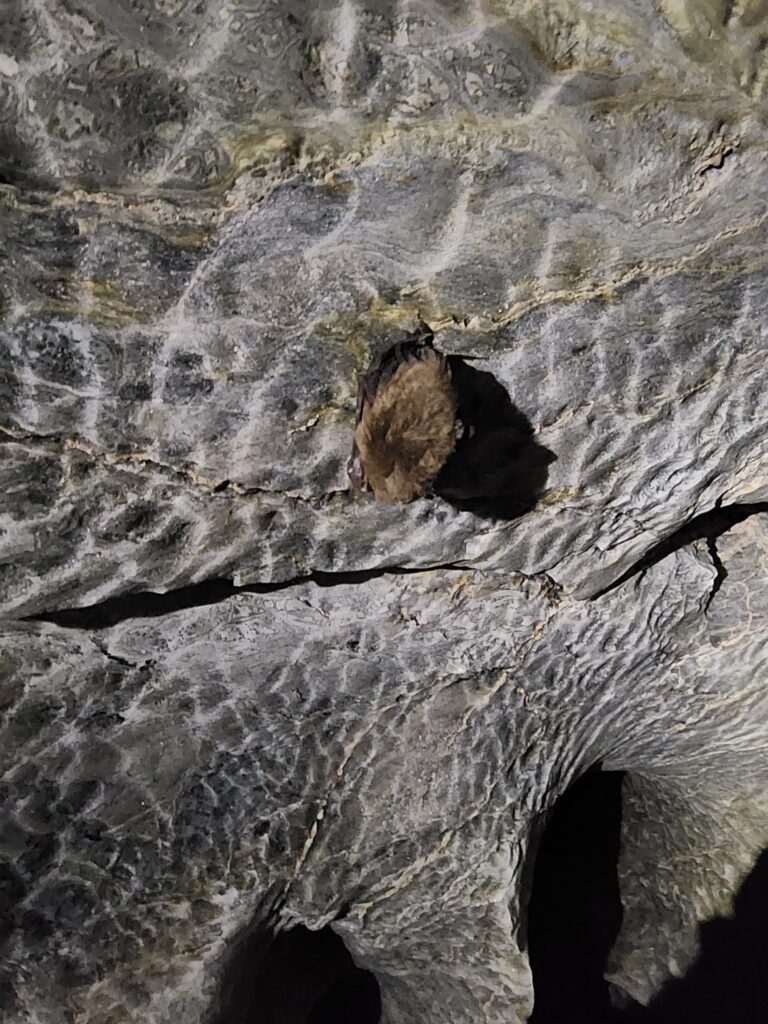
After assessing how everyone was feeling about the cave and proceeding to the end to do survey, we agreed that this was too committing, and decided to turn back and work on something else.
The way out proved to be more difficult than anticipated. Erin exited the cave, and requested that another team come assist with the exit. The constriction point is tight and bells out at the bottom making it difficult to get good footholds on the way out. The floor above is also quite crumbly so you can’t rely on it as a handhold. Once the other team came into the cave we were able to position ourselves such that all team members were able to exit the cave safely and successfully.
Upon exit the sun was shining, and the breeze had picked up. There was smoke in the distance from a close-ish brush fire that had started burning after we had arrived to the cave.
Despite not managing to get to work on the survey, Piper and Anika got to enter Wedgie cave and experience its challenges. Teamwork across those involved in the project was demonstrated and was much appreciated by the Wedgie team.
Ridgewalking (northern points)
Carrin (TL), Evan Bowen, Mike Mansur, Carl Marx
A monster day of ridgewalking! The gypsum plains never disappoint. Confirmed nine POIs as not caves (including two that were possibly accidental points), relabeled two POIs as digs, and confirmed one POI as a cave, which we dubbed Little Dragon.
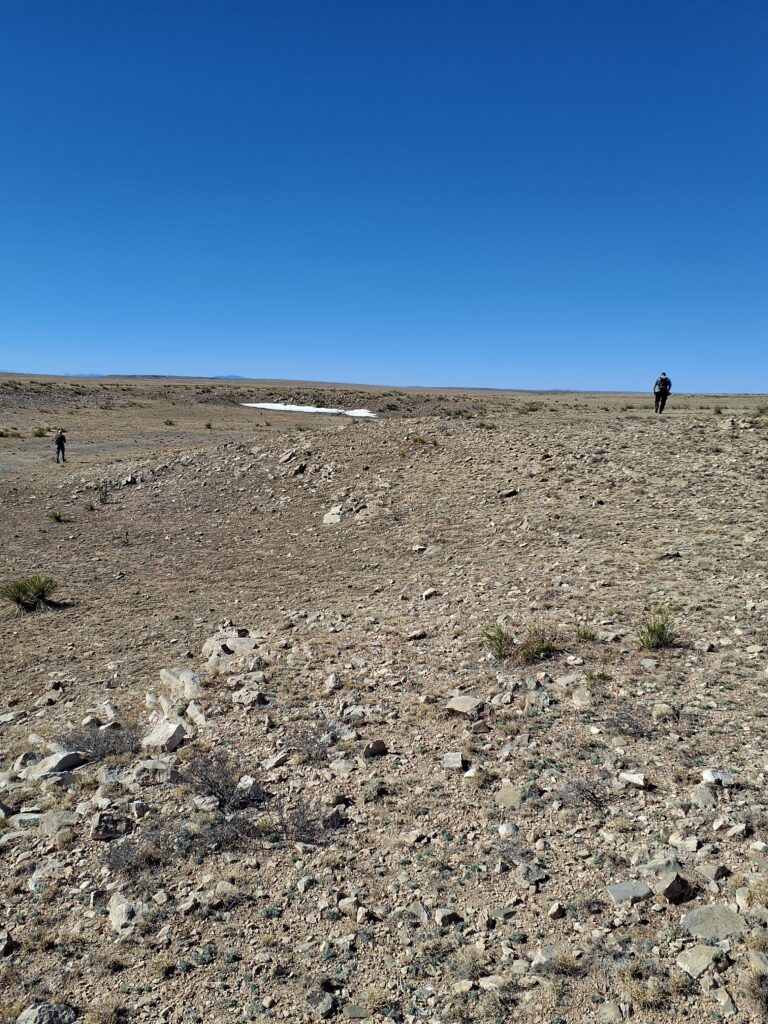
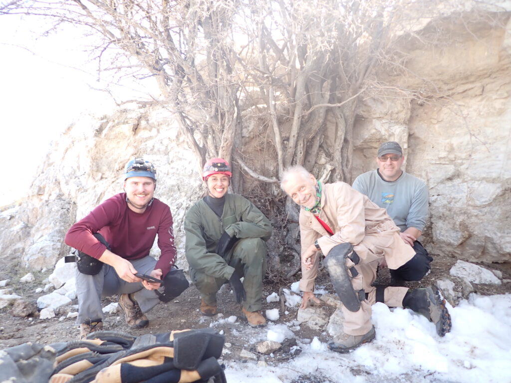
Was very happy to meet Carl and Evan for the first time and spend a day with them. It never ceases to amaze how cavers speak the same language and can pick up with new caver acquaintances like old friends. This team worked well together! Was also happy to have Mike Mansur join Project Yeso for the first time. At long last, Mike got to be a participant instead of a trip leader and just enjoy a day on the landscape.
True to form, the gypsum plains held several POIs that pinched out immediately with slabby breakdown…
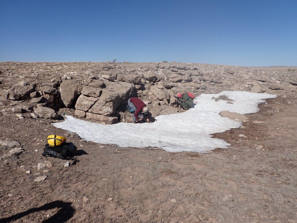
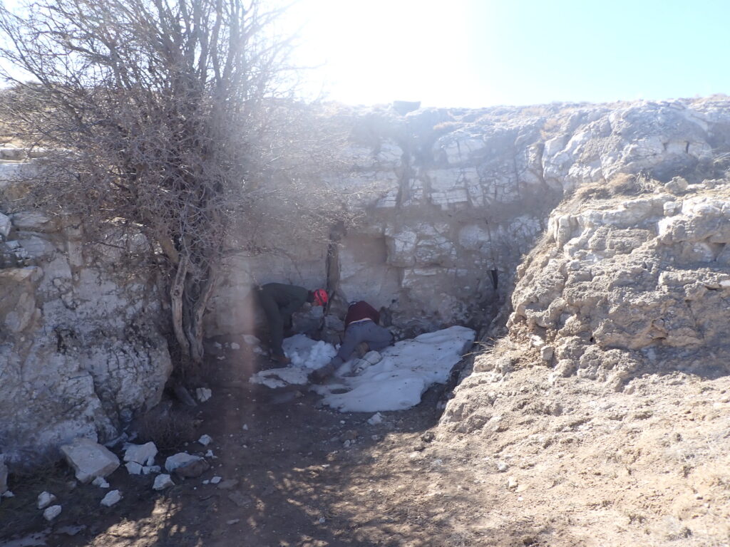
…or pinched out within 5–15 ft with slabby breakdown or bedrock…
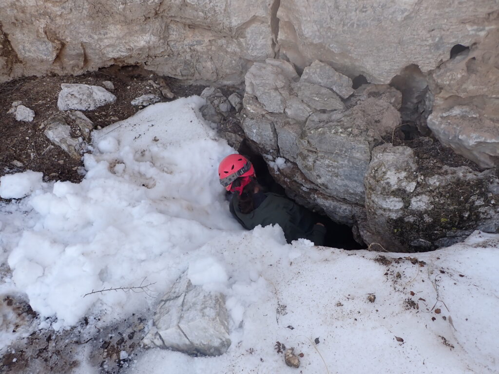
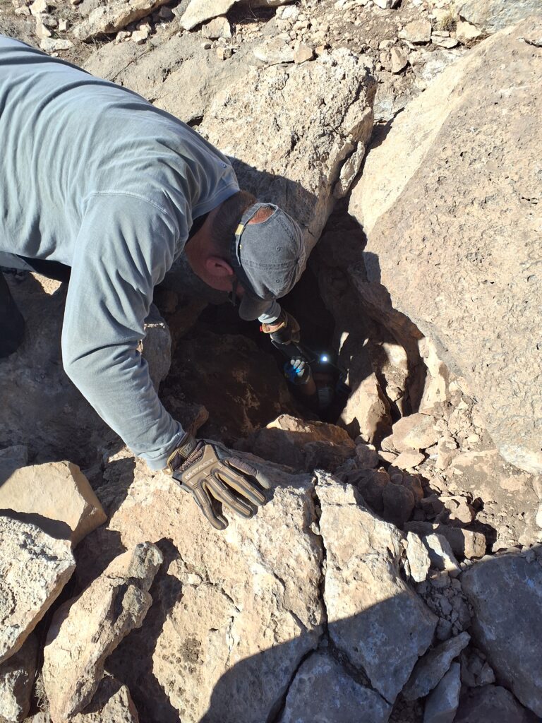
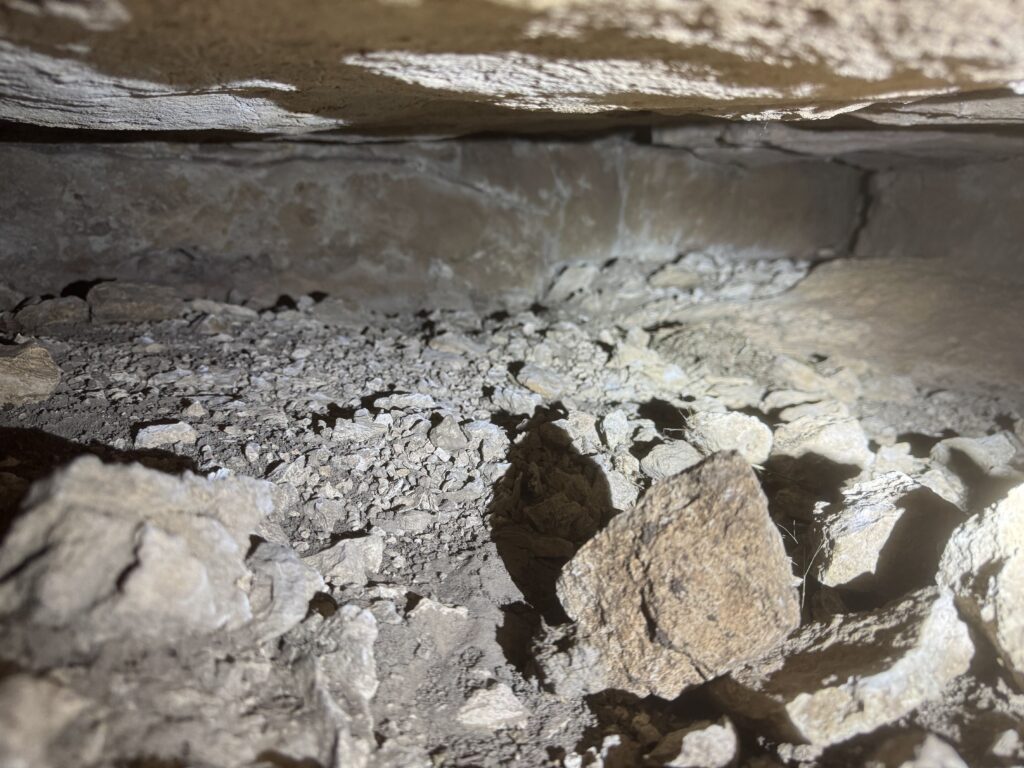
…or were digs:
And it wouldn’t be New Mexico gypsum caving without a trash pit:
QField worked well in the field on this trip—fewer crashes than ever, plenty of battery life. Carrin introduced Evan and Mike to it; they both practiced entering data. Evan especially liked navigating with it and took us to lots of our afternoon points. Only two POIs appeared to have been entered in error (no stars assigned or other data fields filled); those looked like a bunch of nothing when we stood on the point:
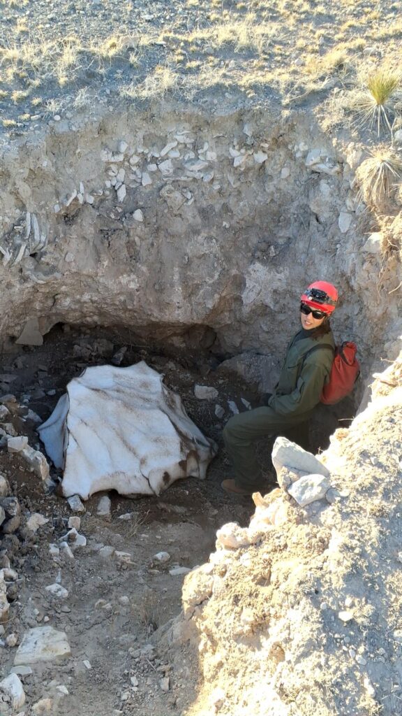
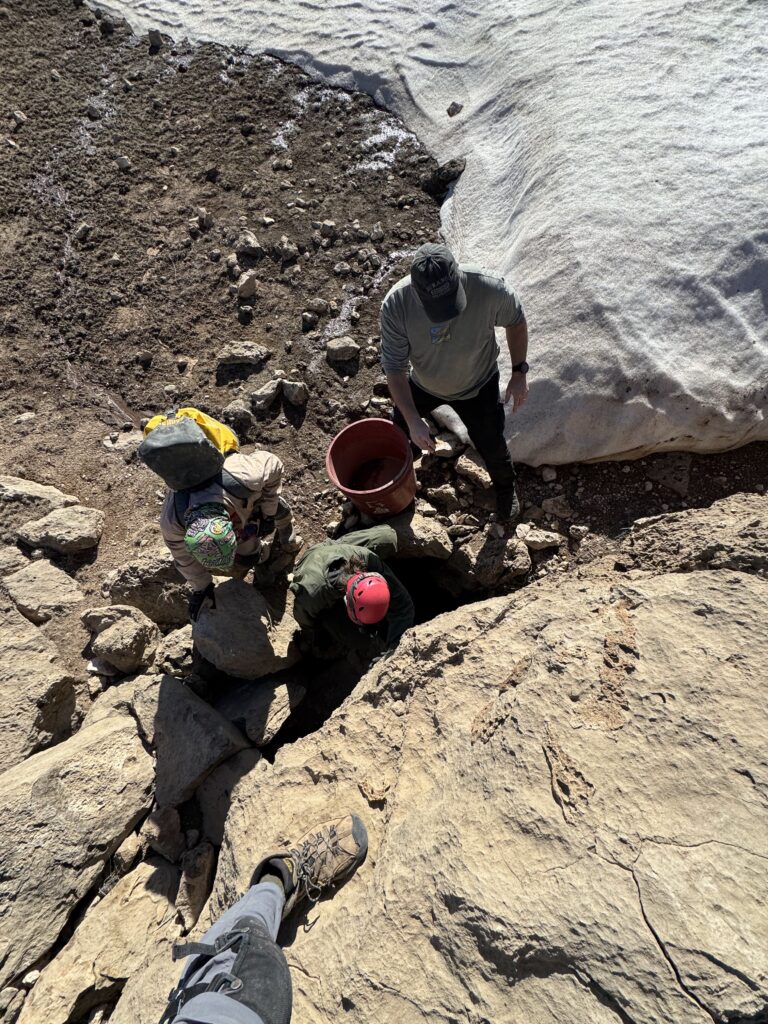
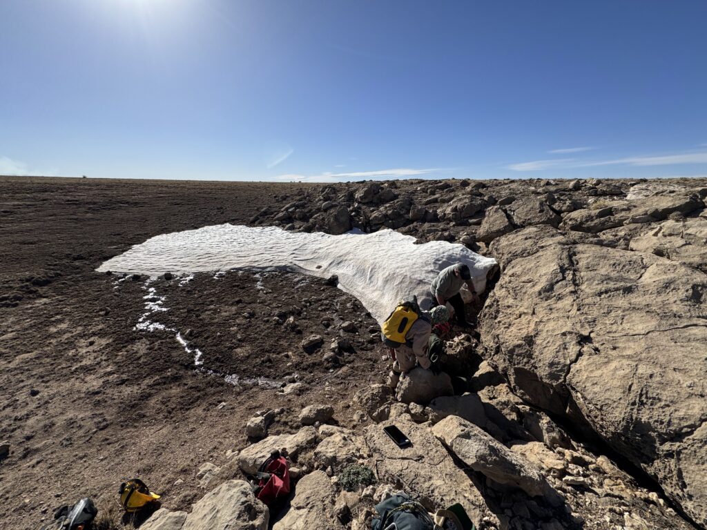
Also true to form for the gypsum plains, the day ended with a cave! This three-star-POI-turned-Little-Dragon-Cave was made special by a large mass of melting snowpack on the surface creating a waterfall along the entrance climbdown, one fat happy tiger salamander, a band of invertebrate fossils in the bedrock, and two nice-sized rooms that warrant a survey and map:
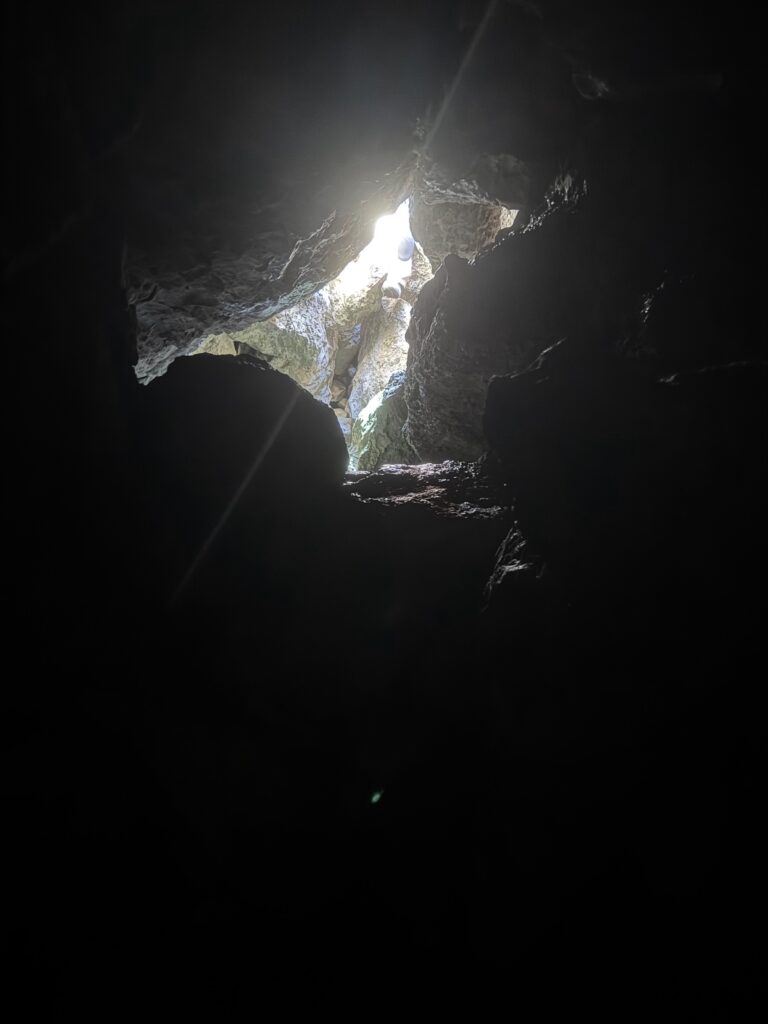
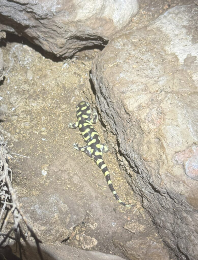
All in all, a successful day in the field! Happy to cave with this team again anytime.
Ridgewalking (eastern points)
Andrew Orr (TL), Lauren Giles, Aurelia Vargas, Dan
Saturday’s goal was to find new caves in a part of the project area that hadn’t really been explored yet. This region lies in the far eastern reaches of the project area near Wildcat Canyon. There were many points of interest (POIs) here, as well as several known or suspected cave points from various sources.
Saturday brought bright blue skies and temperatures in the mid-50s (Fahrenheit). There was a gentle breeze in the morning, which increased to a moderate breeze throughout the day. We left the field house and headed out on the hour-and-a-half drive to the ridgewalking area.
We examined the first POI near the road, which appeared to be a very substantial dig—if it was anything at all. A lot of soil had washed in, and it was unclear whether a cave passage might run under the nearby rock outcrop. We marked this in the database and poked around the surrounding area for a few minutes, but we didn’t find anything else, so we returned to the car.
There was a promising-looking ridge and depression on the opposite side of the road where we had parked, so decided to check that area for caves. Earlier, when Lauren had gone to the bathroom nearby, she spotted an opening that looked promising. After a short search, we went over to that opening, and lo and behold—it was a cave!
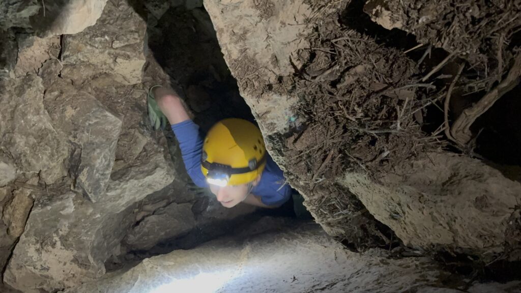
We donned our caving gear, with Lauren and Aurelia going in first, followed by Dan and Andrew once we knew there was enough room for everyone. We explored about 75 to 100 feet in and reached an obvious turn-around spot. Since we weren’t planning on a full caving trip that day and no one else knew our exact location, we decided to save further exploration for another time.
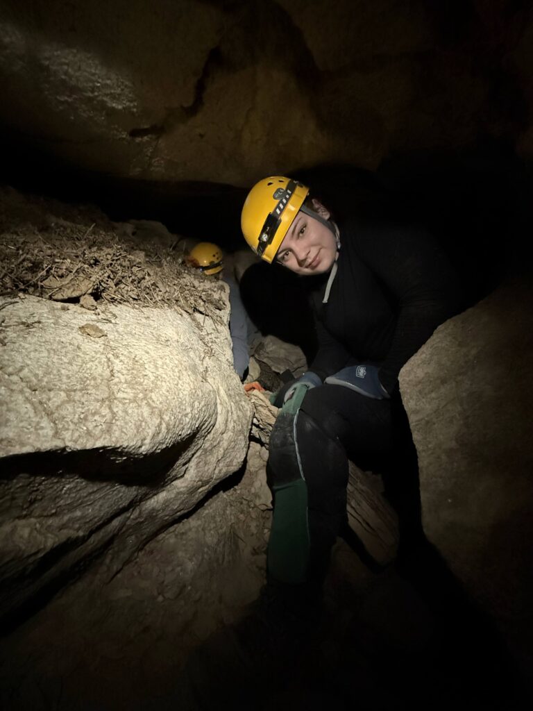
The vertical section where we turned around would likely need webbing as a handline, since there didn’t appear to be many footholds. It was also very tight, and we weren’t sure everyone in our group would be comfortable going in.
Upon returning to the surface, we saw the texts about Erin’s group needing assistance. We headed over to see what we could do to help. We arrived and became the second team to arrive at “Wedgie Cave.” A few folks had already gone in to assist, so we stayed on the surface and the teams were soon out safely.
Throughout the day, we had been keeping an eye on a grass fire near the county road we needed to use to exit the project area. Given the time of day, we decided to drive back to the field house and wrap up a bit earlier than usual. However, since we were going back via the “Zia Christine” route, we did a quick trip to show people the cave.
Dug Cave & Sparks Zalea
Ryan Marshall (TL), Austin McCrary, Levi Ramsey, Joe
The team had a couple of objectives. The first was to investigate the cave that had been dug open in December by Ryan, Levi, and Alex, and figure out if it was worth surveying. The second objective was to visit Sparks-Zalea, and investigate the ‘bat room’ shown on the GypKaP map to see if there were any bats hibernating there.
The team investigated dug cave, which turned out to be very tight. After the entrance crawl, it drops into a chamber from which the ongoing passage is too tight and would need to be dug open. The team concluded the cave is probably not worth pushing further.
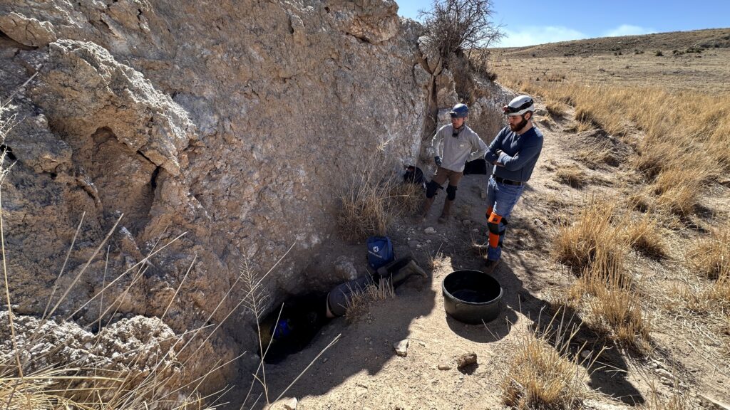
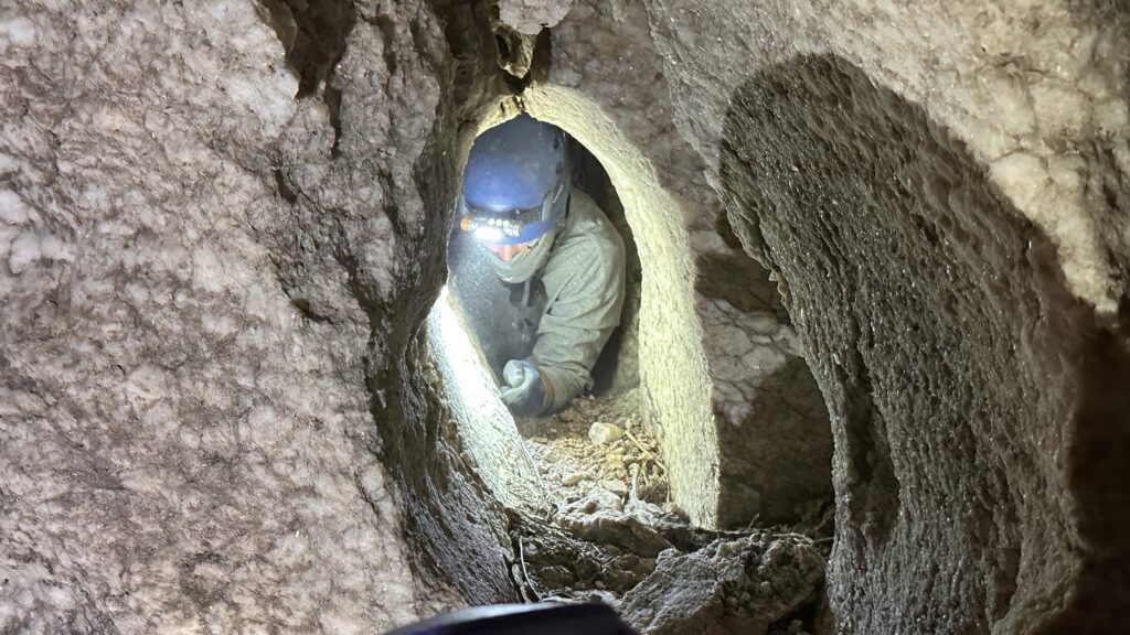
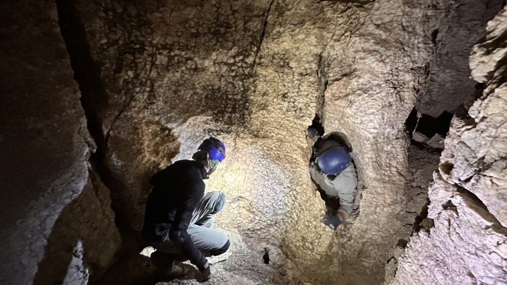
The next objective was Sparks-Zalea, however just as they were about to enter the cave, the team received the texts from the Wedgie cave team so went to help them out. After helping the Wedgie cave team, there wasn’t enough time to return to Sparks-Zalea, so the team made their way back to the field house, taking in a short stop to check out Zia Christine along the way.
Sunday 9th February
After all of the drama on Saturday, we were hoping that luck would be back on our side for Sunday. Unfortunately, that wasn’t what we had in store for us!
Fortunately, Minori was feeling better and was ready to go caving. But as we were getting ready to leave in the morning, Erin discovered that her car had a flat tire. Carl was able to help patch the leak, but with only a ‘donut’ spare tire, Erin decided it was best for her to cancel on the caving for the day and head back to find a tire shop on her way back to Colorado. Aurelia was also not feeling well, and decided to sit out the day in Carrin’s vehicle rather than joining the Tummy Troubles team as originally planned.
Tummy Troubles cave sketch
Alex Seaton (TL), Lauren Giles, Levi Ramsey
In addition to Aurelia not being well enough to join us, we had yet more misfortune awaiting us on the drive out to the cave. Part way along Hines draw road, the ‘flat tire’ warning sign came on. Thinking the tire pressure was probably just off by a couple of psi, Alex continued driving. Unsurprisingly, this turned out to be a mistake.
A little while later, we heard strange noises coming from the rear of the vehicle, and pulled over to investigate. Indeed, one of the tires was flat. But it was also torn almost the complete way around, and giving off smoke. Oops! Minori would not be pleased…
We got to work swapping it out for the spare. While we all knew in principle how to do this, we’d never needed to before, so it was a relief when Andy’s team stopped by and offered to help. This was Carl’s second flat tire encounter of the day (and not his last!).
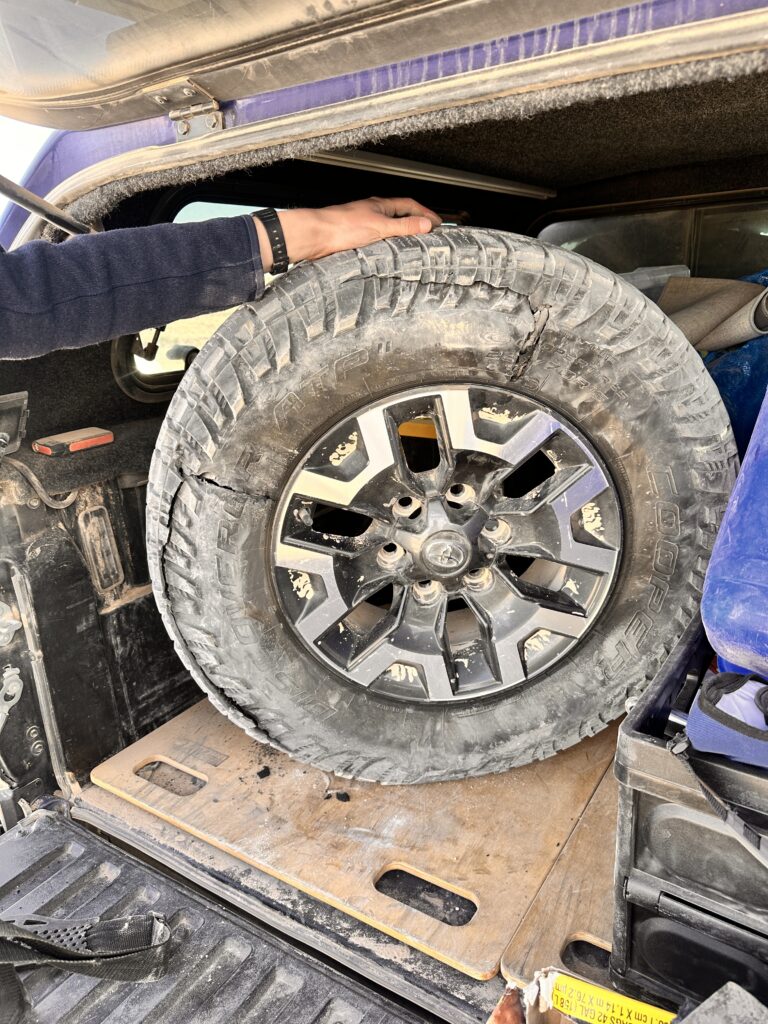
It wasn’t long before the spare was in place, and we were ready to continue.
Hoping that this really was the last of our bad luck, we proceeded on towards Tummy Troubles and finally made it to the cave at around midday.
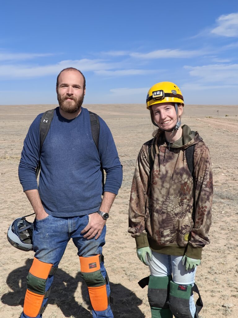
With just over two hours before we needed to meet up with the others, there wasn’t much time left. Nevertheless, we decided to make the best of it.
The area we were surveying was close to the entrance, so we were soon ready to begin. Lauren volunteered to learn some sketch, so Alex explained the basics of TopoDroid, and we got to work. Despite the steep learning curve and lack of time, Lauren was able to get to grips with the technology and did an excellent job sketching the section of cave we were in. She was also able to make it seem fun enough that Levi, who had initially been reluctant to try sketching, was keen to give it a go on a future trip.
We were close to wrapping up when, to our surprise, we heard voices from another team heading our way. It turned out to be Ryan’s team, who had breezed through Sparks-Zalea in no time, and had decided to make a quick excursion into Tummy Troubles with the time they had left.
While they continued a little further into the cave, we finished up with the sketch and started heading out. By the time we reached the entrance, Ryan’s team had caught up with us, so we all exited the cave and headed back to the vehicles together.
Wedgie Cave sketch
Minori Yoshida (TL), Austin McCrary
Without Erin, our team was down to two people. We normally keep to a minimum of three per team in a cave, so discussed whether a team of two would be safe among the team leads. In the end, we decided to proceed for several reasons: both of us are experienced cavers, we wouldn’t be in the cave for long, the cave isn’t complex, and everyone else knew where we’d be.
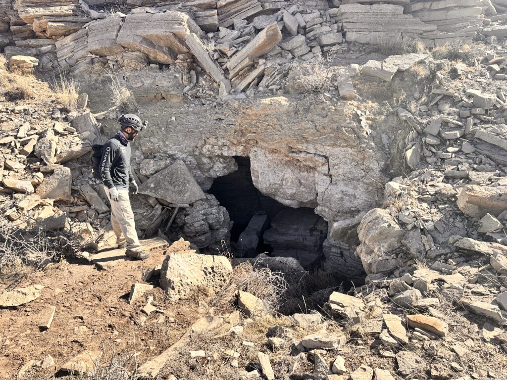
We had no problems getting in through the constriction, and made our way towards the back of the cave. At station A44 we stopped to take a snack break. Austin wasn’t feeling 100%, probably due to sleep deprivation and a few too many drinks the night before having caught up with him. So, we decided to take things easy and work our way back towards the entrance slowly while Minori sketched the profile and cross sections. We sketched all the way to station A26 before it was time to exit the cave and meet up with the others.
The cave still has two areas that need to be pushed. Hopefully these can be investigated on a future trip.
Ridgewalking (southeastern points)
Carrin, Pierson Miller, Aurelia Vargas, Piper Weekly
Sadly, Aurelia was fighting off a strep infection and was unable to ridgewalk; a good sport, she cheerfully rode along and rested in the car.
Piper, Pierson, and Carrin had a clean and easy time on the landscape and checked a handful of POIs. Piper, with lots of tablet experience, took to QField in no time and rather liked it; Pierson also practiced navigating with it and entering data.
We found a series of intriguing holes that went nowhere, like this closed out collapse…
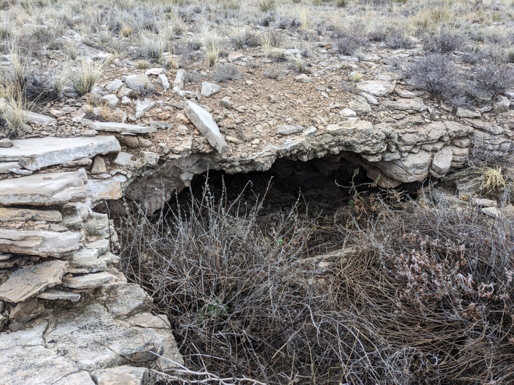
…that was 10 ft away from this darling hole…
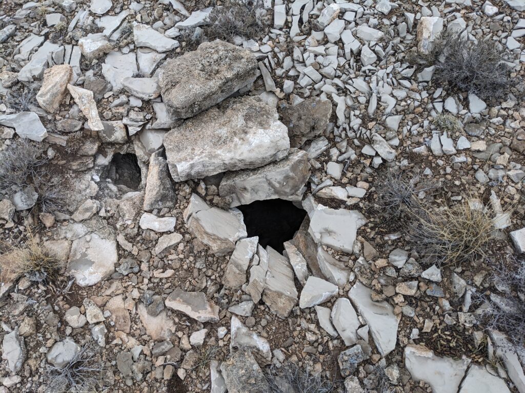
… a feature of the gypsum plains we see often: an expanse of void about a foot under the surface, about a foot high, visible but impassable to humans at all entrances. A tell-tale hollowness in the sound and feel of the ground in these areas is a dead giveaway.
This POI was another closed-out feature just under the surface:
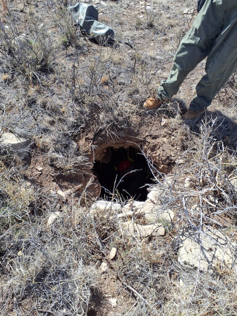
It accommodated two (very friendly) caver bodies but no more and ended in breakdown in less than 10 ft. Not a cave, but a fun tiny pit to pop into and satisfying to kill the POI in any event.
Our final stop of the day was a hole that wasn’t noted in QField—a new find. We ultimately confirmed it as not a cave, but it had more passage than the POIs of the day; it could accommodate five friendly caver bodies or so:
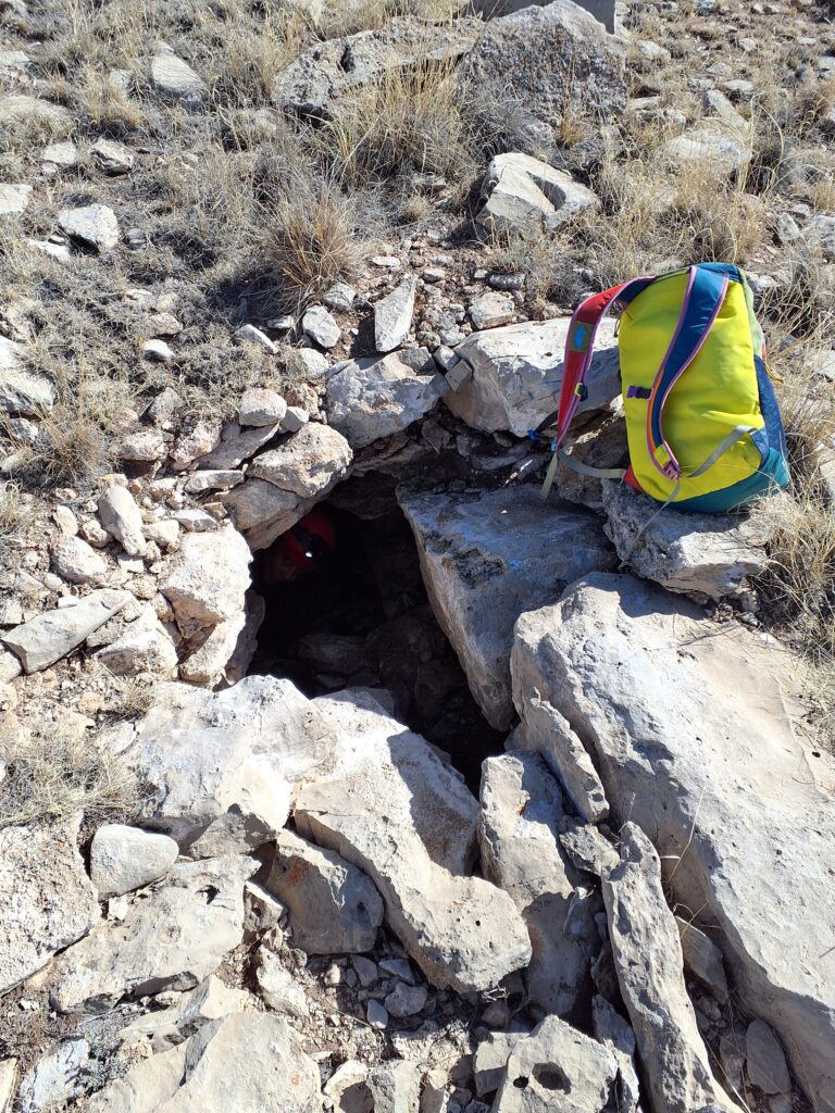
And the best find of the day, on a ledge about 10 ft into this hole…


…an intact turkey vulture egg, identified later by Andy from these photos. The egg was lovely and fragile and pristine in situ, but Andy indicated it was also an important find to note for biologists, for whom turkey vulture nests are hard to come by in the field. Leave it to cavers to stick their heads in every gall durn hole on the plains and find what no one else sees.
As the team left the area, we checked the driving route to POIs just north of those we found today. Time didn’t allow us to make it to what would be the parking area, but road conditions looked good beyond a white gate where we turned back—more objectives for next time!
Ridgewalking (eastern points)
Andrew Orr, Carl Marx, Tom Weber
Sunday’s weather was similar to Saturday’s, with partly cloudy skies and temperatures around 60–65°F. Our goal for the day was to continue ridgewalking, a little further south than the area we’d been in on Saturday. Andrew was excited about this, as he’d been looking forward to exploring the area.
Our first stop was a large doline that had previously been used as a trash dump, and had recently been cleaned up by the BLM. We arrived and took several photos of the depression and entrance. It seemed someone had gone to great lengths to fill in the cave with rocks and dirt.
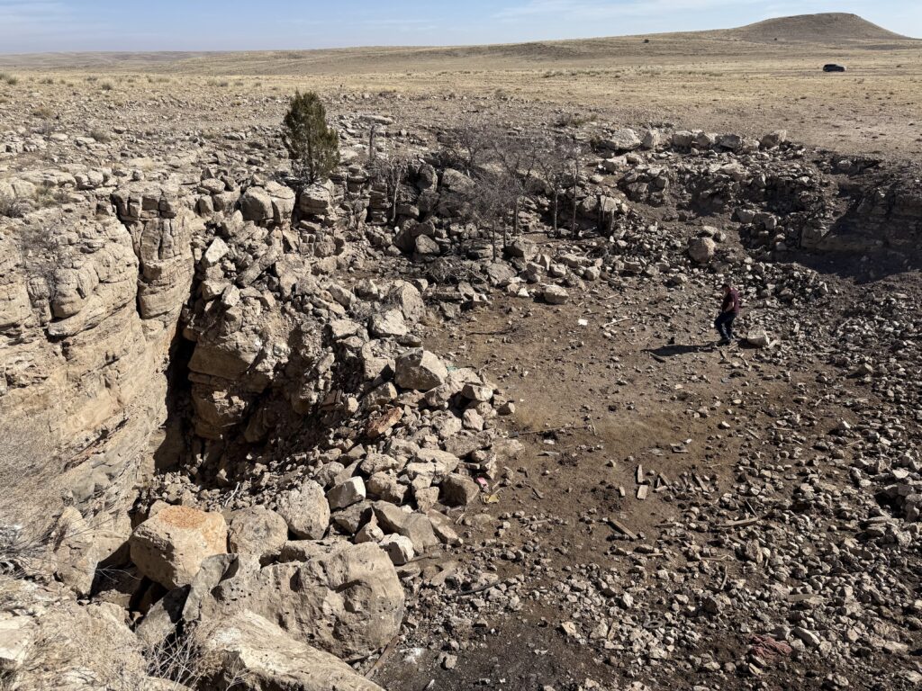
We headed back to the car to look at more POIs. We identified a set of POIs and began what turned out to be a longer-than-expected drive. The road was rough—four-wheel drive and high clearance would be helpful, though a Subaru or similar vehicle with good tires would manage fine.
Upon arriving at the POIs, we discovered a cave at the first location. Andrew and Tom went inside to see if it continued. After a few minutes, Andrew came back out, while Tom stayed a bit longer. He thought it might go farther, but it would require more time to investigate. Because of the numerous spiders inside, Tom decided to name it “Spider Hill Cave.”
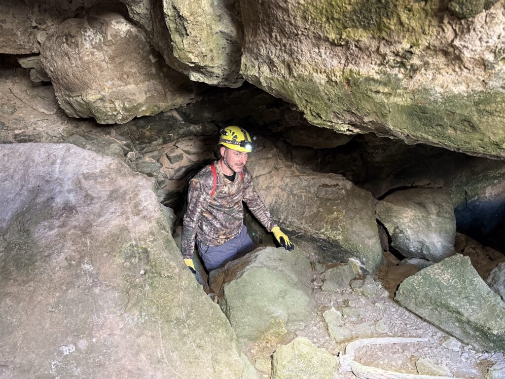
After documenting this new cave, we explored a promising area nearby and walked along the ridgeline for about 30 minutes. During this time, Andrew and Carl found a small crawl space that might be another cave, but it would have taken more time to investigate than we had available. We also wanted to make sure we had enough time to return to the agreed-upon meeting place, especially if the road proved impassable—but luckily, it was fine.
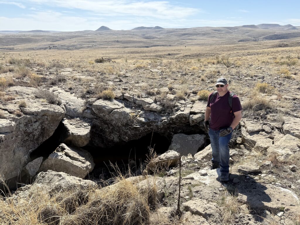
The day ended around 3 p.m. at the crossroads, where we said our goodbyes and headed home.
Sparks-Zalea Cave Recon
Ryan Marshall (TL), Evan Bowen, Cameron Sanchez
The team’s objectives were to investigate the Sparks-Zalea bat room, which had been deferred from the previous day.
Despite concern about how long this would take, the team was able to traverse the entire cave in a couple of hours, starting at the north (Zalea) entrance and exiting through the south (Sparks) entrance.
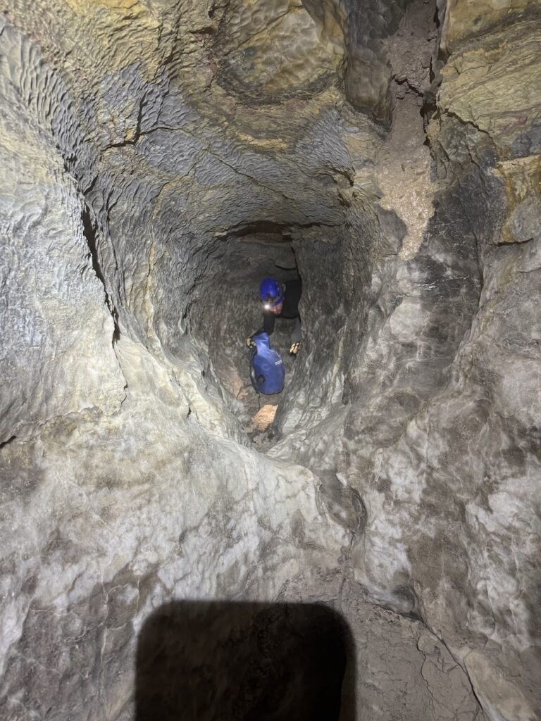
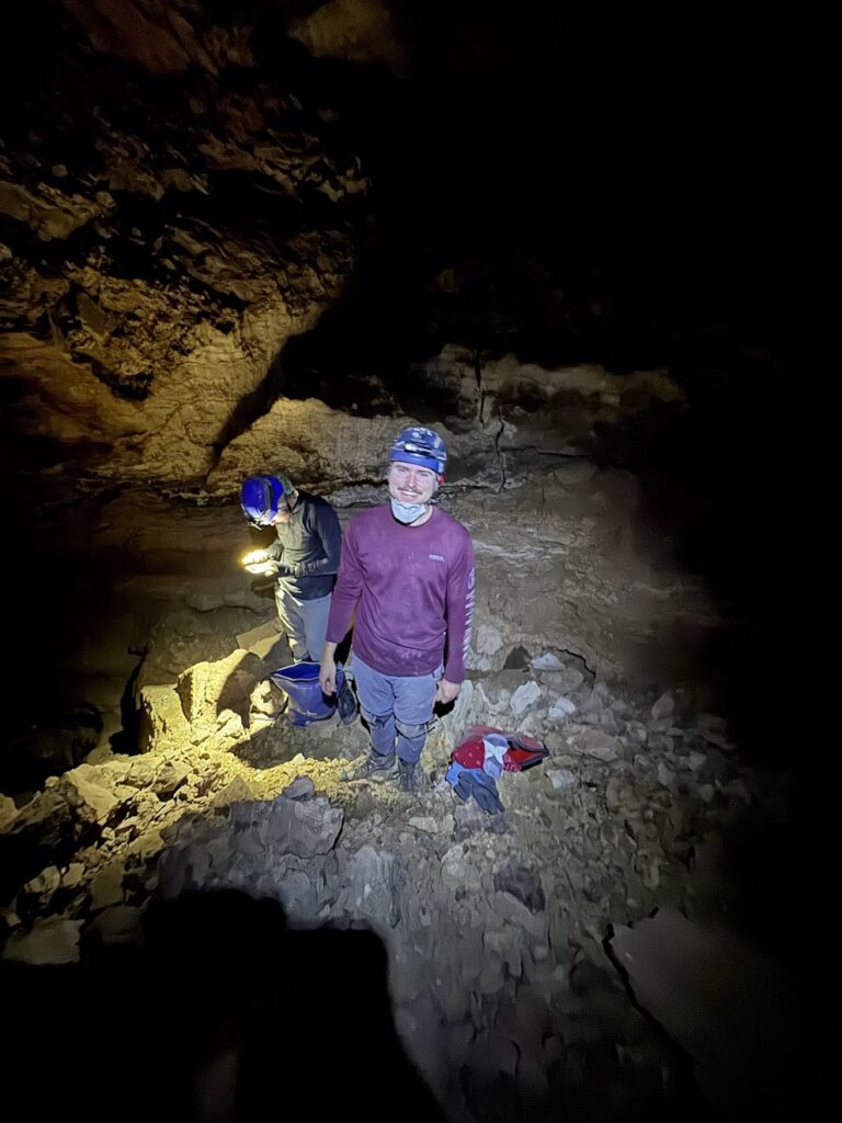
Right: Ryan & Evan in the bat room in Sparks-Zalea
The bat room was not found to contain any bats, though much of the passage on the way to the bat room was found to contain large mats of mould, some 4-5 ft in diameter.
After visiting Sparks-Zalea, the team still had time to spare, so headed to Tummy Troubles for a quick tourist trip.
