This was our final trip of the season before the summer.
We had a thoroughly enjoyable time and all of the teams made a huge amount of progress. We’re looking forward to next season!
Participants
- Jason Banegas
- Eoghan
- Greg Hartman
- Ryan Marshall
- Joshua Mokry
- Andrew Orr
- Carrin
- Alex Seaton
- Nikki Woodward
- Minori Yoshida
Friday: Zia Christine Survey
Alex Seaton, Minori Yoshida, Ryan Marshall, and Joshua Mokry
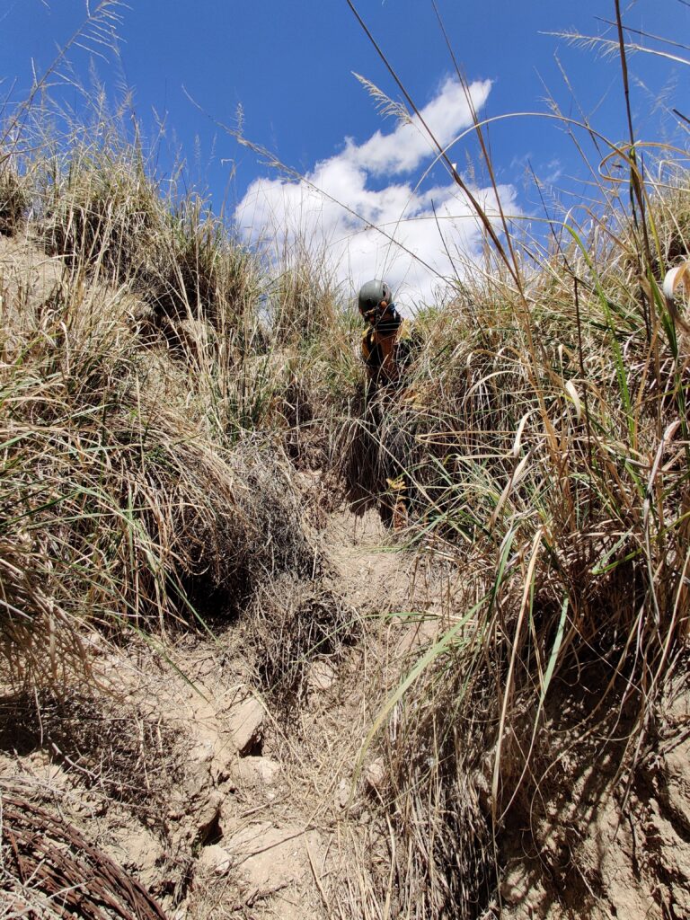
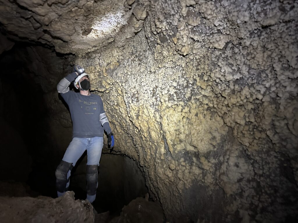
Minori and Alex arrived at Zia Christine on Friday and decided to re-calibrate the DistoXs. Just as we finished Ryan and Joshua arrived and met us inside the cave in the dry section. Since it was the first time for Joshua in Zia Christine (it was actually his 2nd time in a wild cave!) we toured the crystal rooms. Then we split into 2 teams to continue the survey that we started in January. Alex and Ryan continued in the dry section (C Survey).
Minori & Joshua
Joshua and I started a new survey into the downstream passage which starts in the entrance room (D Survey). It was Joshua’s first time participating in cave survey, so he learned the basics of what the measurements were and how to set stations. He was the ‘point person’ and did a good job setting and hard marking stations.
Alex & Ryan
With a good chunk of time to work on surveying, I figured it was time for Ryan to learn to sketch. I went over the basics of getting to grips with Topodroid, and then Ryan got to work. This was a bit of a trial by fire for Ryan since the room we were working in is complex, and to make things worse had been partially sketched already. Ryan worked on filling in some of the passage detail. We started by shooting splays to rocks around the room to get them drawn in. He picked things up pretty quickly, and by the end of the session was engrossed in the sketch and already getting much quicker.
Soon enough though, it was time to leave. We headed back to the entrance room and met up with Minori and Joshua.
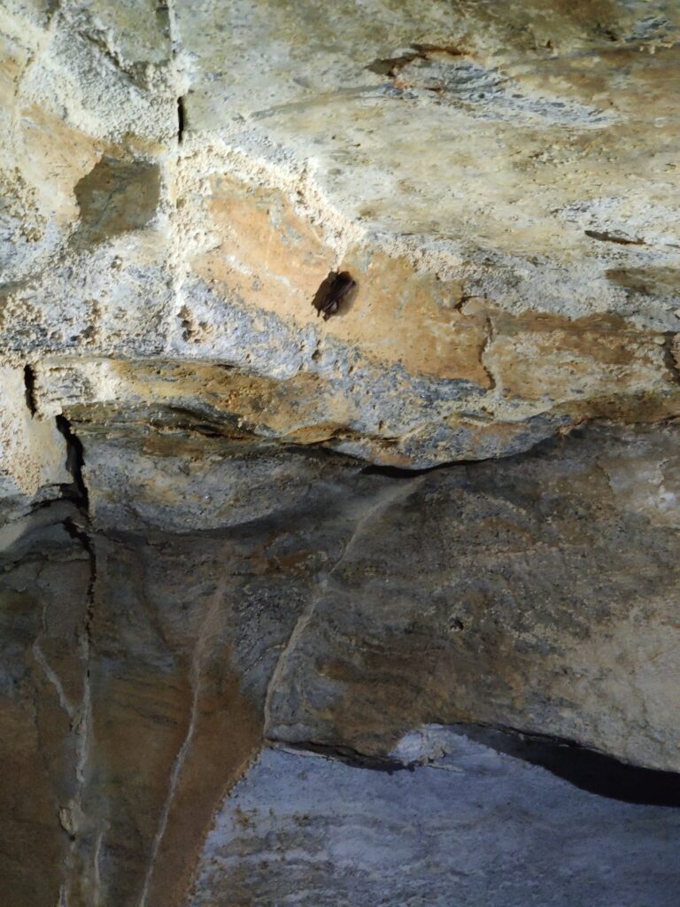
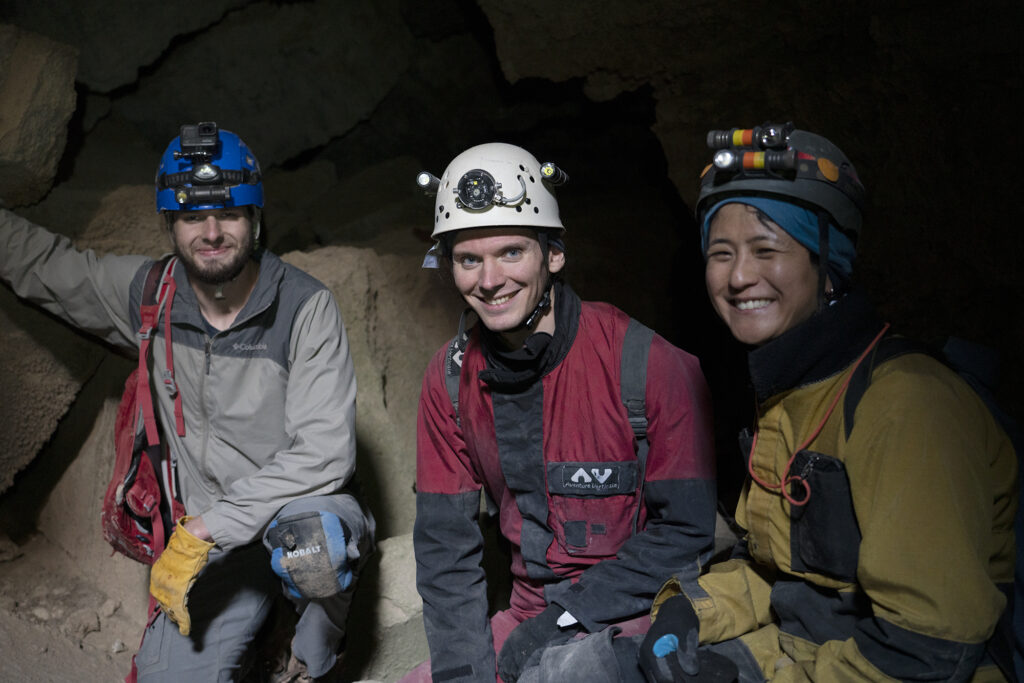
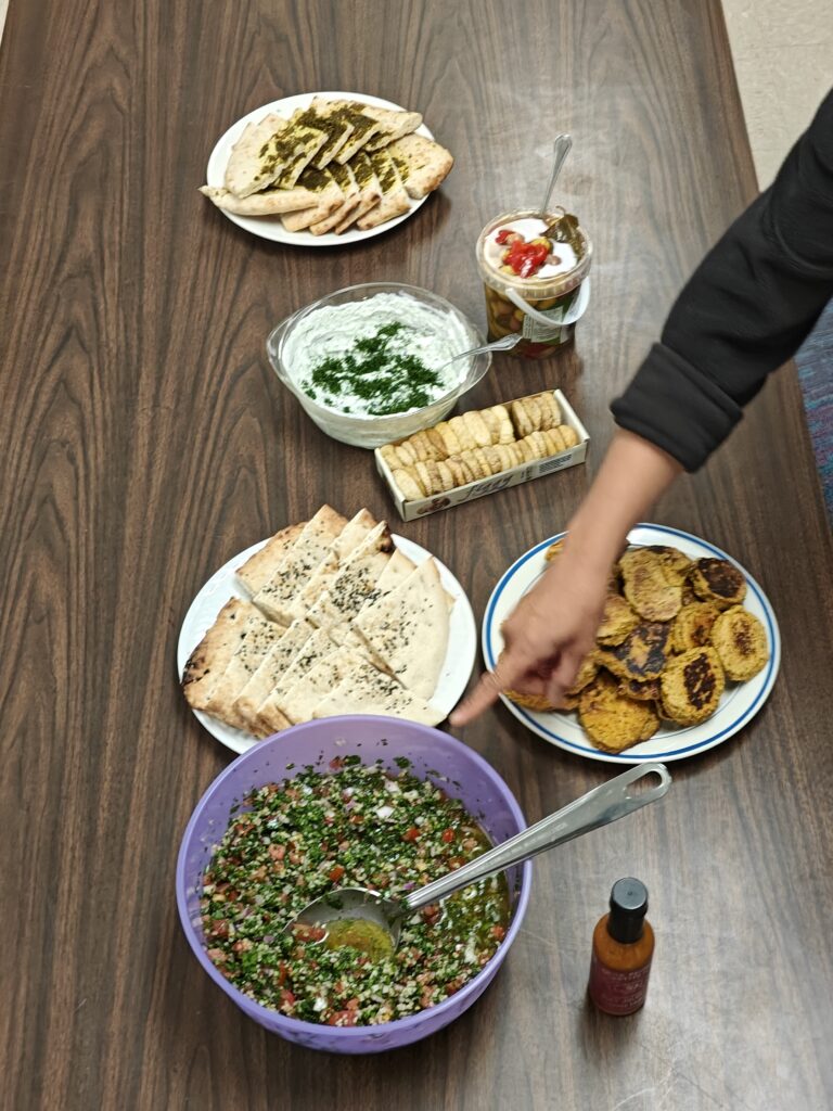
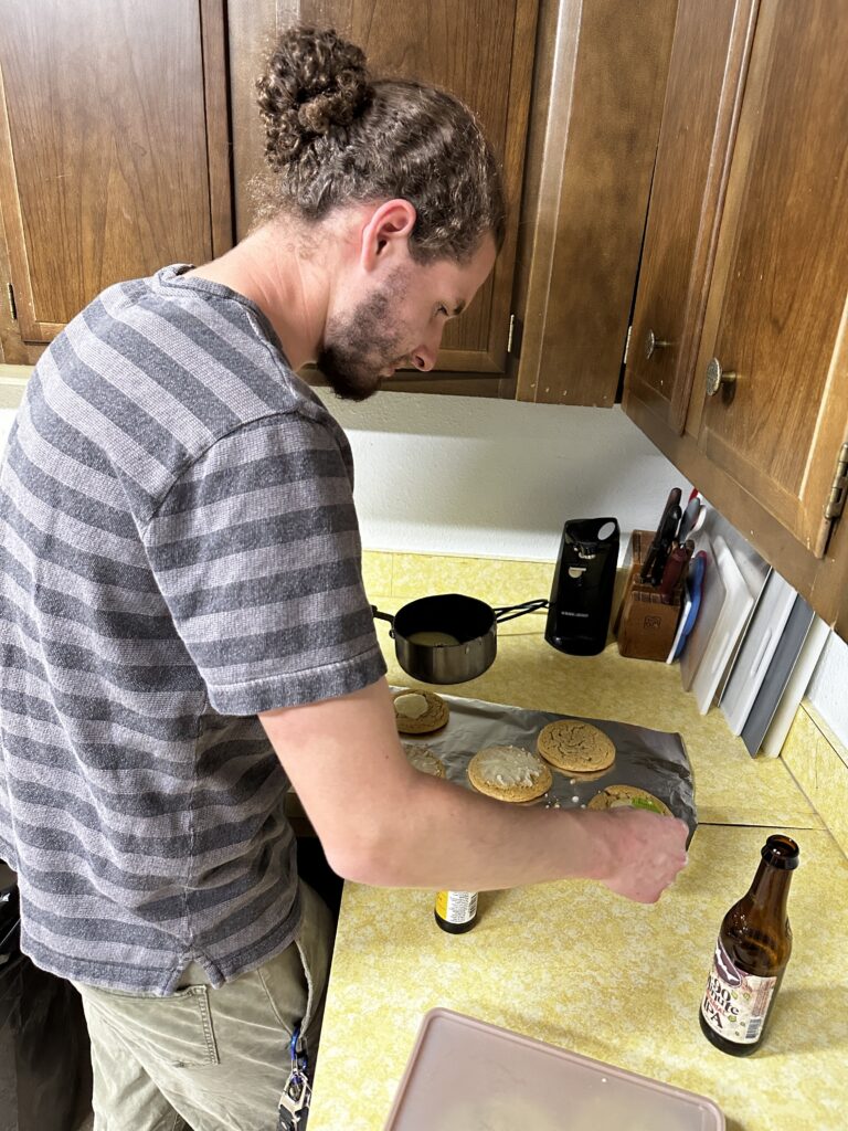
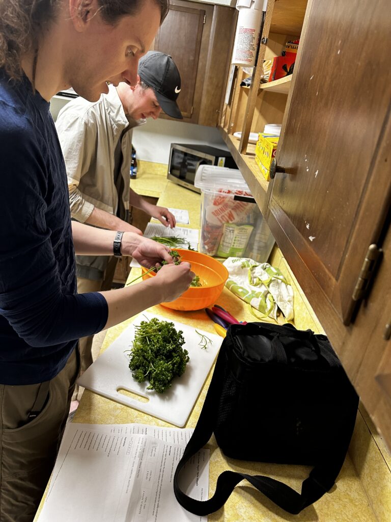
For dinner, we had Tabouli, Felafels, Tzaziki sauce, Palestinian bread, dried figs, olives. Ryan made chocolate chip cookies and Kentucky butter cake cookies that he iced at the field house.
Saturday
Team A: Ridgewalking
Minori Yoshida, Jason Banegas, Eoghan
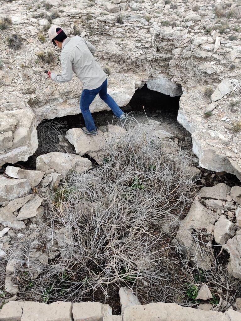
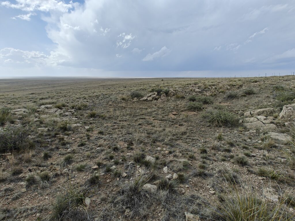
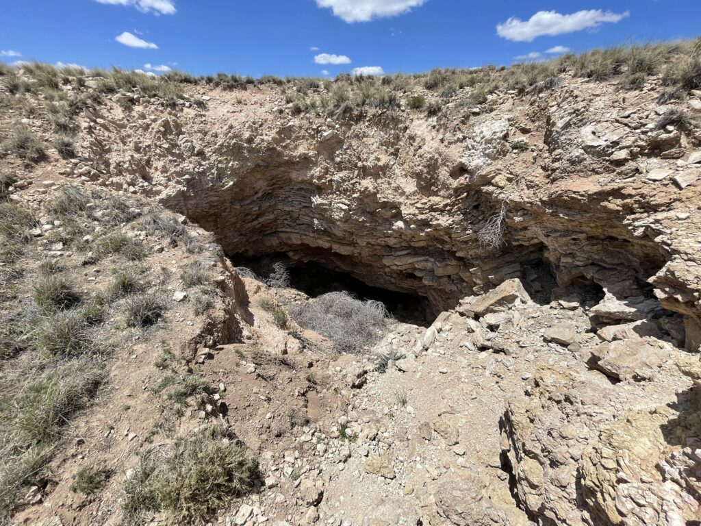
Our team ridgewalked on the southwest side of Bogle Rd. and Transwestern Rd. We first came across a large feature that was not listed. It was a collapse about 10m by 5m and 5m deep. Minori pushed this and found only a small space underneath a slab in the breakdown which didn’t go. We categorized this as a shelter cave.
Many of the other POIs in the area were drainages but were slow draining (as indicated by the vegetation in the area) and too collapsed to have any accessible passage.
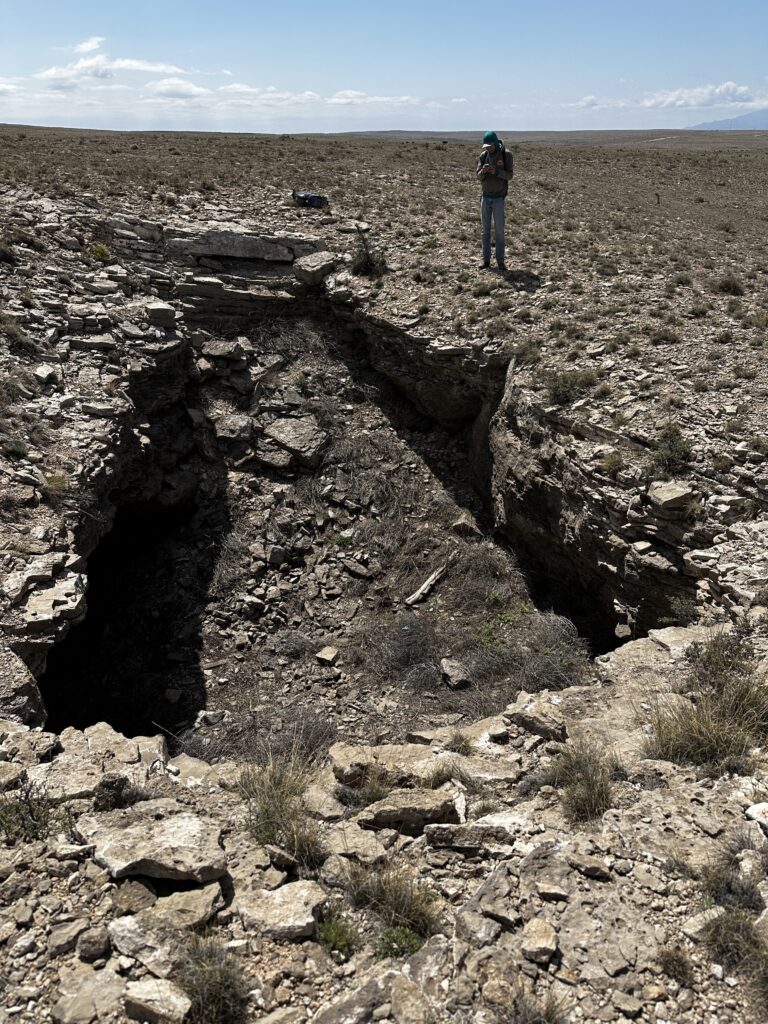
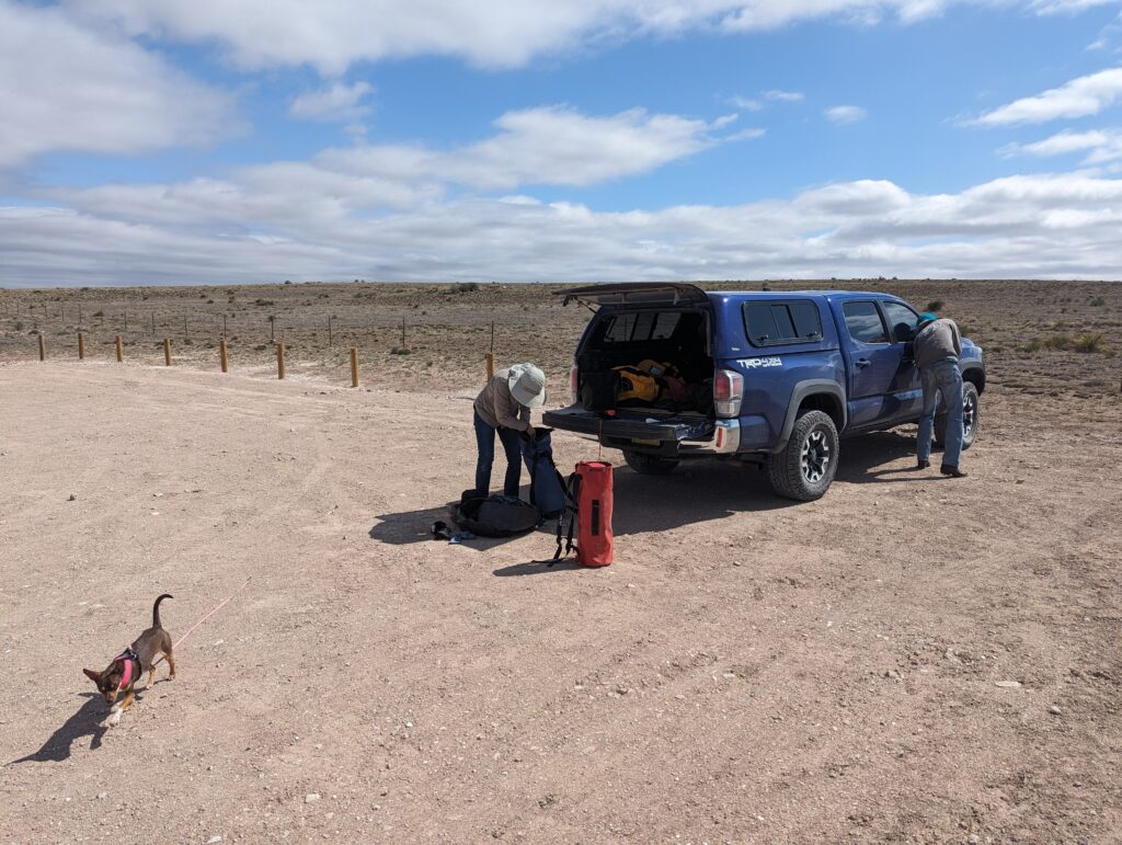
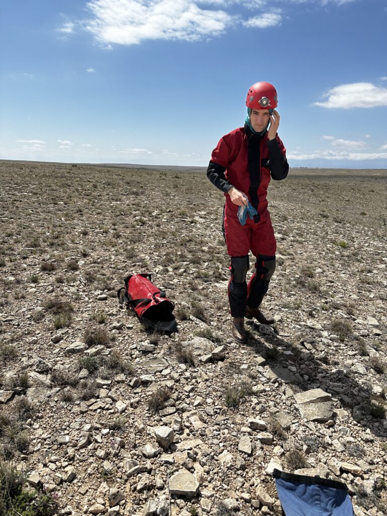
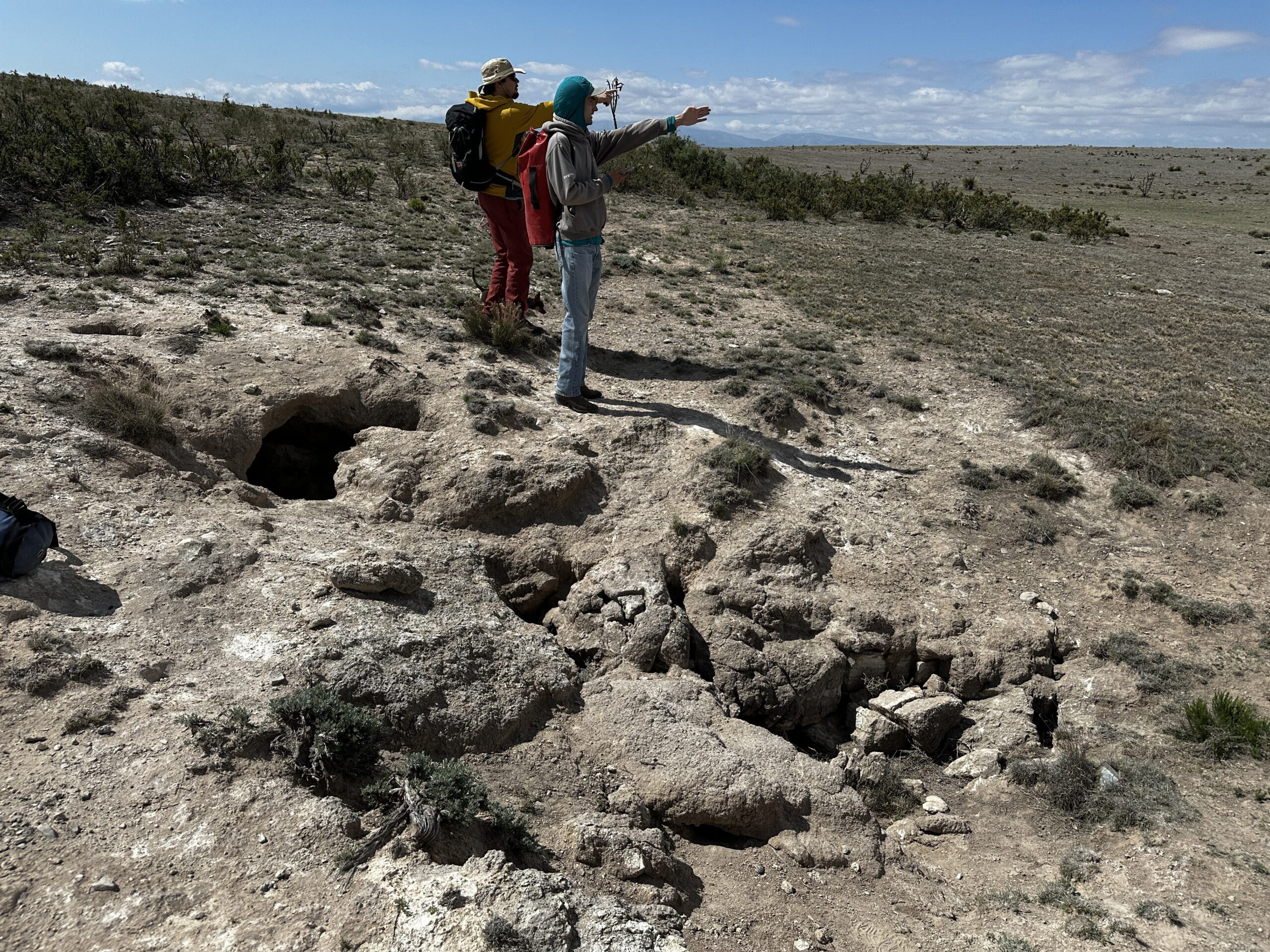
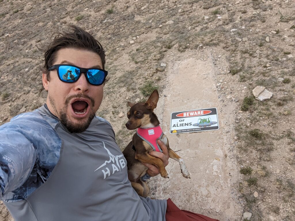
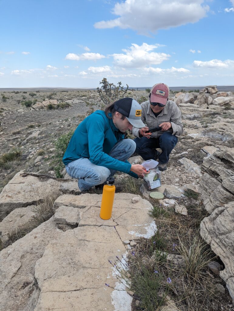
We next drove out near Black Milipede Cave to check out a POI in that area. It was a tiny hole, likely an animal den in a sink. We drove along the road towards the UFO crash site and checked out several more POIs that were also slow-draining collapsed features with no entrance. We found a GeoCache at the UFO crash site.
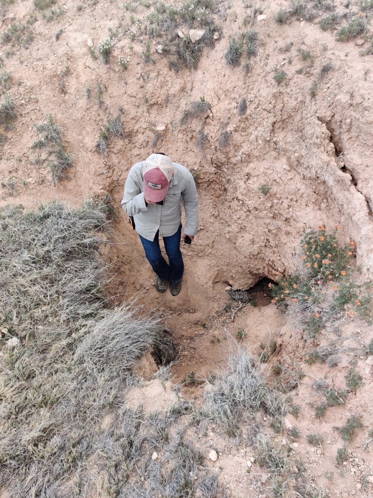
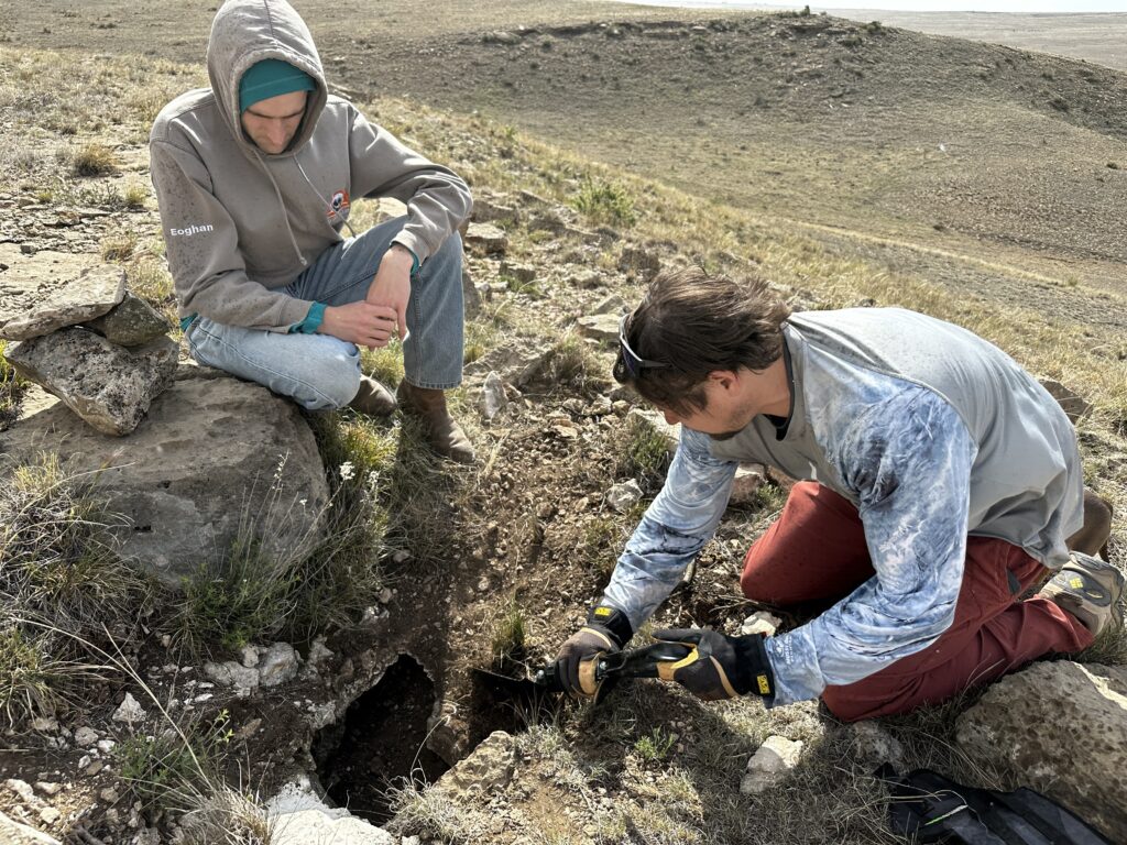
Then we drove to another POI further SE from where most groups have been working on. The POI turned out to be a shelter cave from a collapsed feature that did not have any passage. However, Jason saw a snake escape into a different small hole nearby and discovered that it was blowing very cold air. It was a tiny hole lined with moss that we were only able to put our hands in to feel the air.
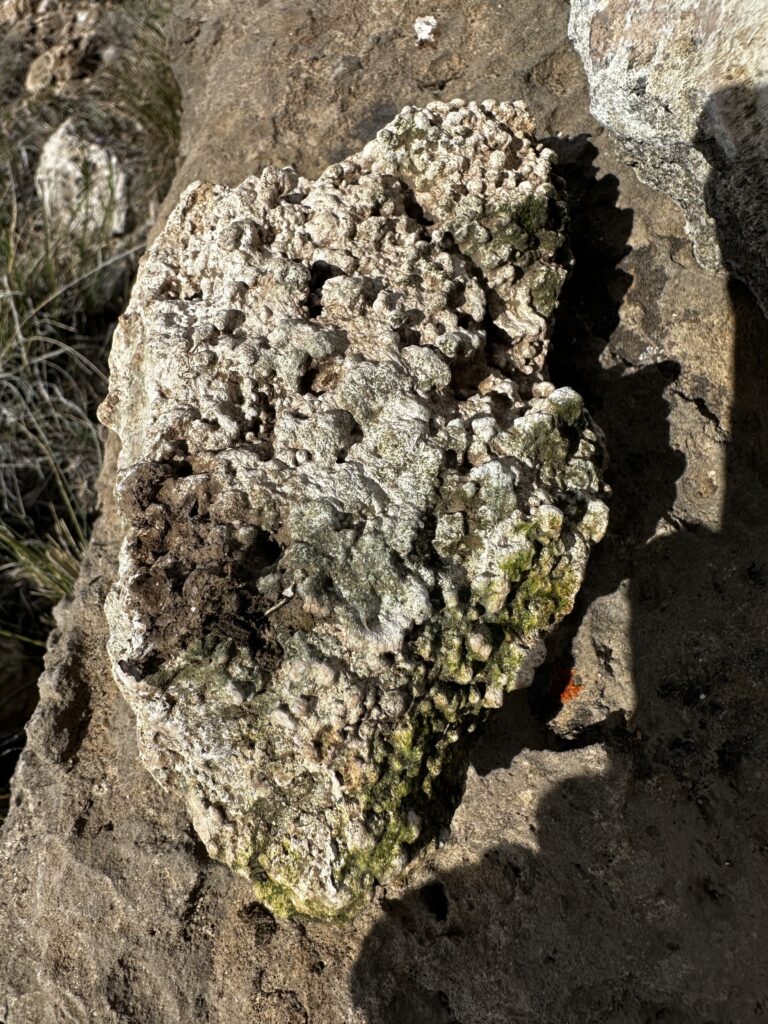
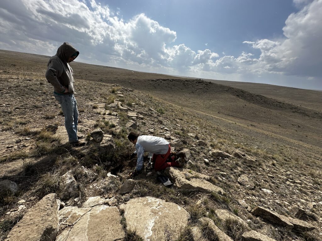
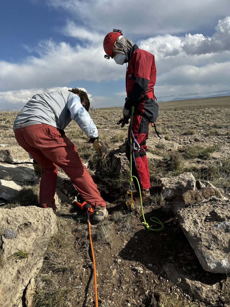
After looking around the area for a while for more entrances or similar features, we were unsuccessful in finding anything so we decided to see if we could easily enlarge the hole. We were able to easily move rocks by hand and a small shovel to move dirt. The pieces we pulled out had popcorn, so we were very excited with the idea of a huge decorated cave below us. We had a brief rain shower and the wind kicked up while we dug but we got the hole enlarged enough to enter. We could see a small room below and estimated the floor was about 6-8 feet from the entrance. It was overhanging so we would need SRT to get out. We used a huge rock as an anchor and Minori clipped into the rope as a backup meat anchor.
Eoghan got on rope and started in. He got to about armpit depth before stopping; his feet had hit the ground already. After de-rigging his descender he ducked into the cave for about 10 seconds and said he’d seen the entire cave and exited. Minori felt the cave needed a closer inspection so took off her SRT gear and got in. The floor had a layer of dark organic matter. Thinking it might be bat guano, she looked up to see if there were any bats, but the ceiling was covered instead with a blanket of crickets, which started wriggling away and falling on me. She looked all around the edges of the room but didn’t find anything promising.
By the end of the day we added 13 new features and updated 6 POIs.
Team B: Ridgewalking
Carrin (TL), Greg Hartman, Ryan Marshall
OBJECTIVES
- Finish survey of BSA Cave
- Explore Broken Armpit Cave
- Document or expand documentation of any other POIs near BSA / Broken Armpit
BSA Cave
The day got off to an exciting start when everyone stepped away to relieve themselves before entering the cave, and a loud rattle sounded nearby just as I was getting ready to squat. The rattlers are awake for the season! The rattle warning me away was full-strength, not the low-energy rattle you might hear during brumation.
BSA Cave was a revisit for Ryan and I and new to Greg. Ryan and I were ready to complete the line plot we began with Jesse in April. Greg is an experienced canyoneer and new to Project Yeso; his experience and help in the field were indispensable throughout the day. He fell in naturally with our practice of staying in voice contact while exploring a cave or acting as surface support, and his rigging ability served as a nice safety check on my own.
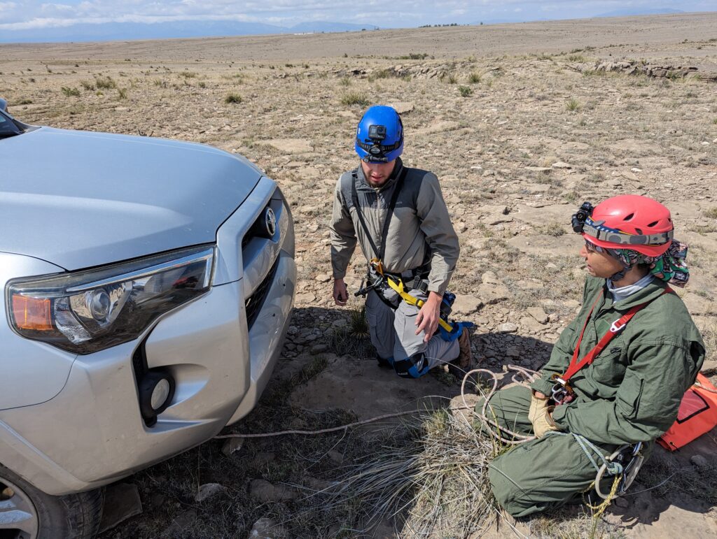
Since Ryan is new to knots and rigging, I had him tie all the knots we used in this setup: a figure 8 on a bight as the backup to the rear tow hitch of my 4Runner, an alpine butterfly as the primary anchor on the front tow hitch, and two sliding barrel knots to hold the rope pad in place.
Once in the cave, Ryan and I put our heads together to get TopoDroid up and working while Greg got ready to set stations and poked around the cave. Ryan had surveyed in Zia Christine the day before, so TopoDroid’s ins and outs were fresh in his mind. The two of us were able to get the line plot going. BSA Cave consists of three main chambers; the team finished the line plot of the cave (A and B surveys from the entrance) and splay-shotted all three chambers. To maximize our time for the rest of the day, we opted to leave the sketch for another day.
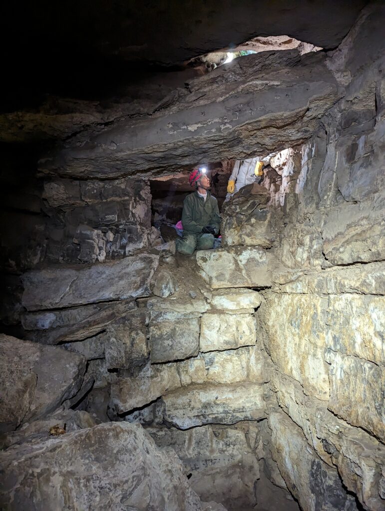
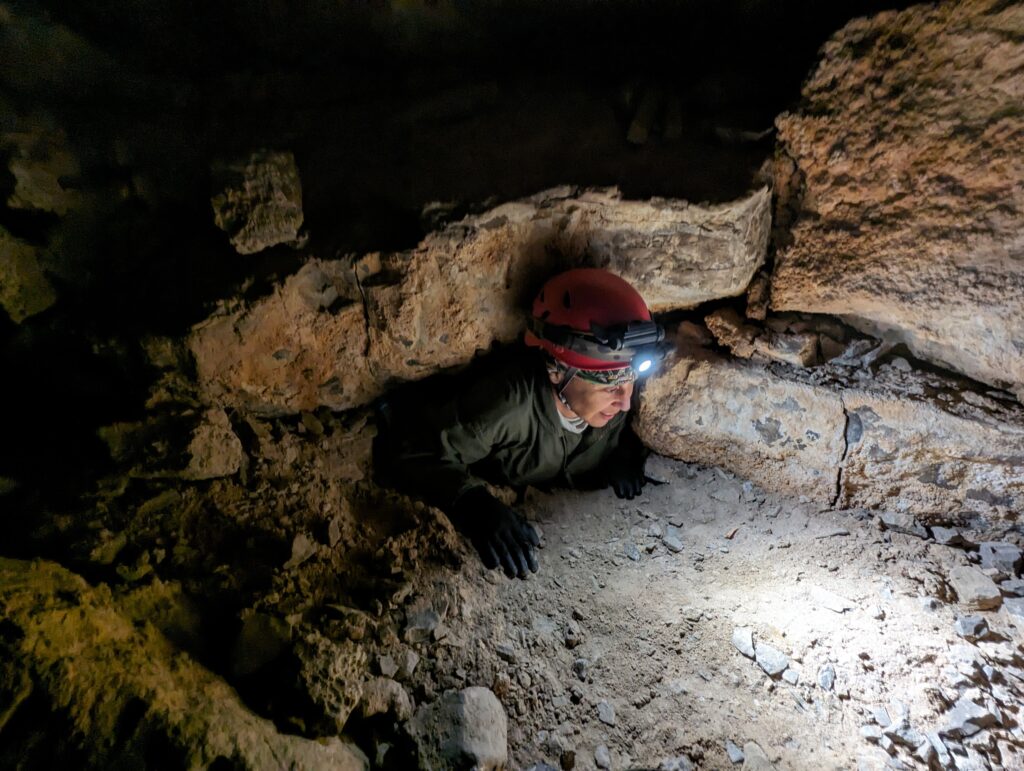
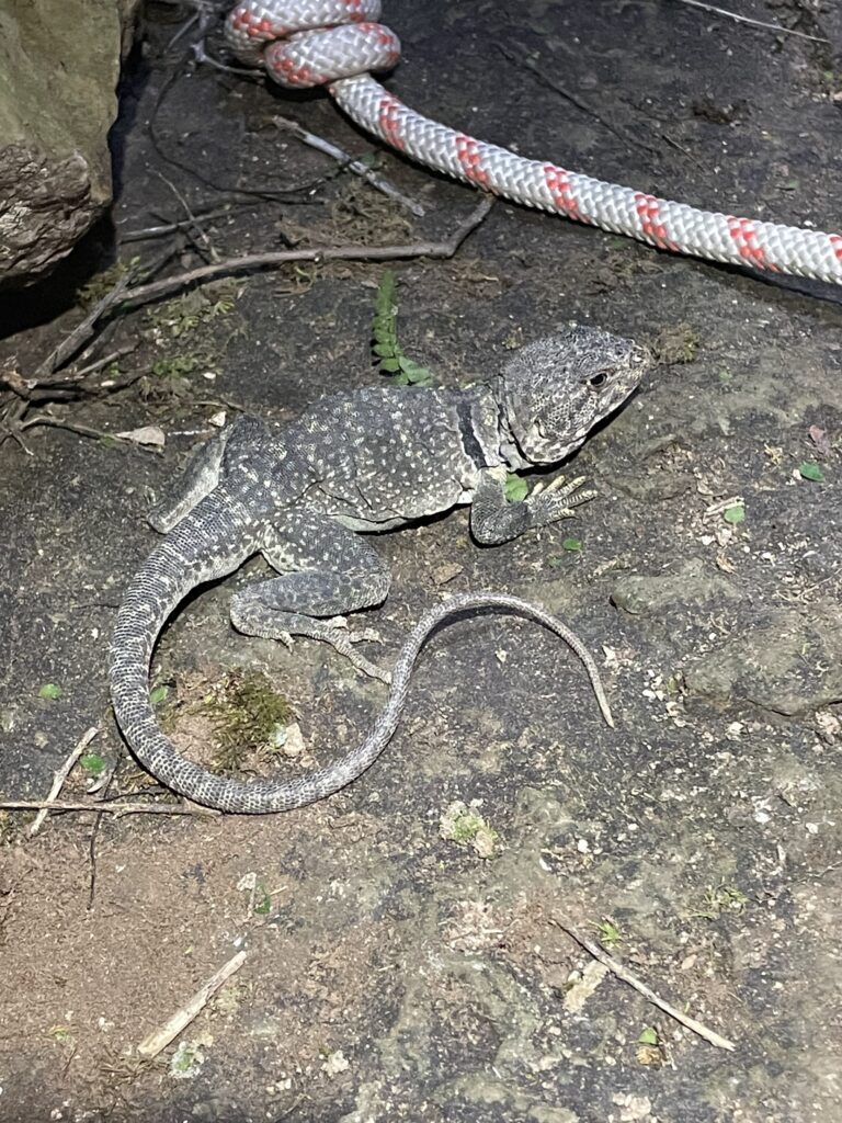
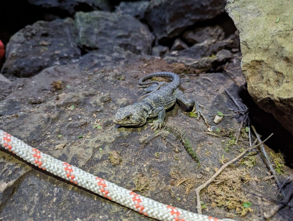
Highlight of the day: Rescued a horny toad that had fallen into BSA Cave. This guy was hanging around under our rope bag at the bottom of the entrance drop (he might have been hit by the bag when I tossed it in). He was alert but slow and didn’t run away, so we thought he might be injured or too cold. Ryan scooped him into the rope bag, and when we hauled it up after exiting the cave, we relocated him to a low shrub on the surface, where he camouflaged right in.
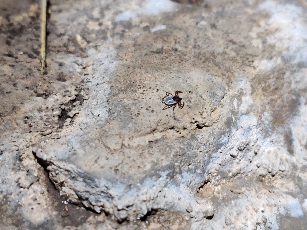
Tick Pic Cave
While poking around the surface near BSA Cave, we came across a POI that Alex and Minori had visited before but weren’t able to enter due to rockfall / minor injuries / mayhem [ed: Alex did enter it, but did not explore very thoroughly due to aforementioned mayhem]. The team decided Ryan and I would enter the cave and Greg would provide surface support. It was a typical fissure and breakdown-block cave, but it hosted an unusually large colony of ticks just inside the entrance. Greg couldn’t see any ticks on the surface rocks, but Ryan and I counted well over a dozen full-grown and seed ticks in the cave, necessitating an interim in-cave tick check and Ryan exclaiming “I’m freakin’ out!”. Despite the tick scene, Ryan pushed all leads in the cave, only to find all but one closed out. As with other leads in this area, a smaller caver could push this 2′ x 1′ lead under the breakdown, but it didn’t feel like it had much potential. A major tick check occurred on the surface, and Ryan and I were itchy for the rest of the day.
Broken Armpit Cave
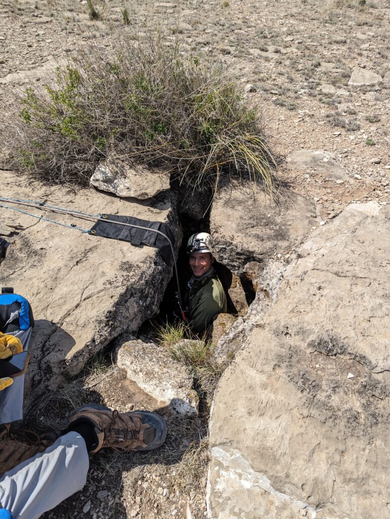
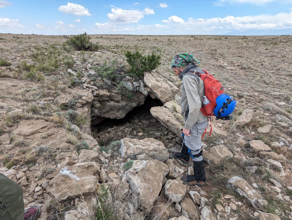
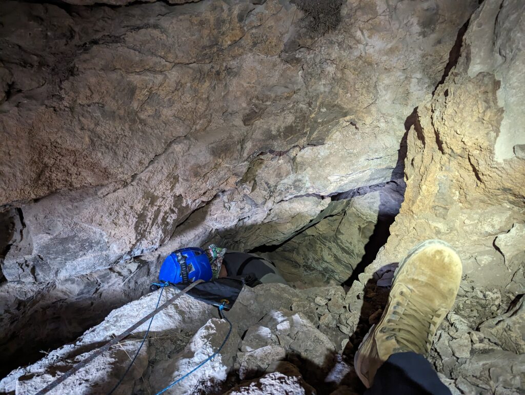
This cave was known but had not been dropped. A previous team determined it was not free-climbable and we agreed, so Greg and I rigged to surface rocks for primary and backup anchors using 50′ of rope and a 30′ piece of webbing. The entrance was a 15′ drop into a 12′ x 20′ chamber with three leads. Two low leads off the floor of the chamber pinched out after 6′ to 12′. Strangely, one higher lead was blowing cold air; it was in the vertical wall of the cave midway down the entrance drop. Ryan squeezed in and could see some 10′ down a sandy, sloping passage no more than 1′ high. Another lead for a smaller caver to push! The team agreed that in order to say the cave has been fully explored, this lead would have to be pushed, but the passage is quite unstable, so risk vs. reward should be evaluated before sending anyone in.
Downgrading a 4-star POI to 2 stars
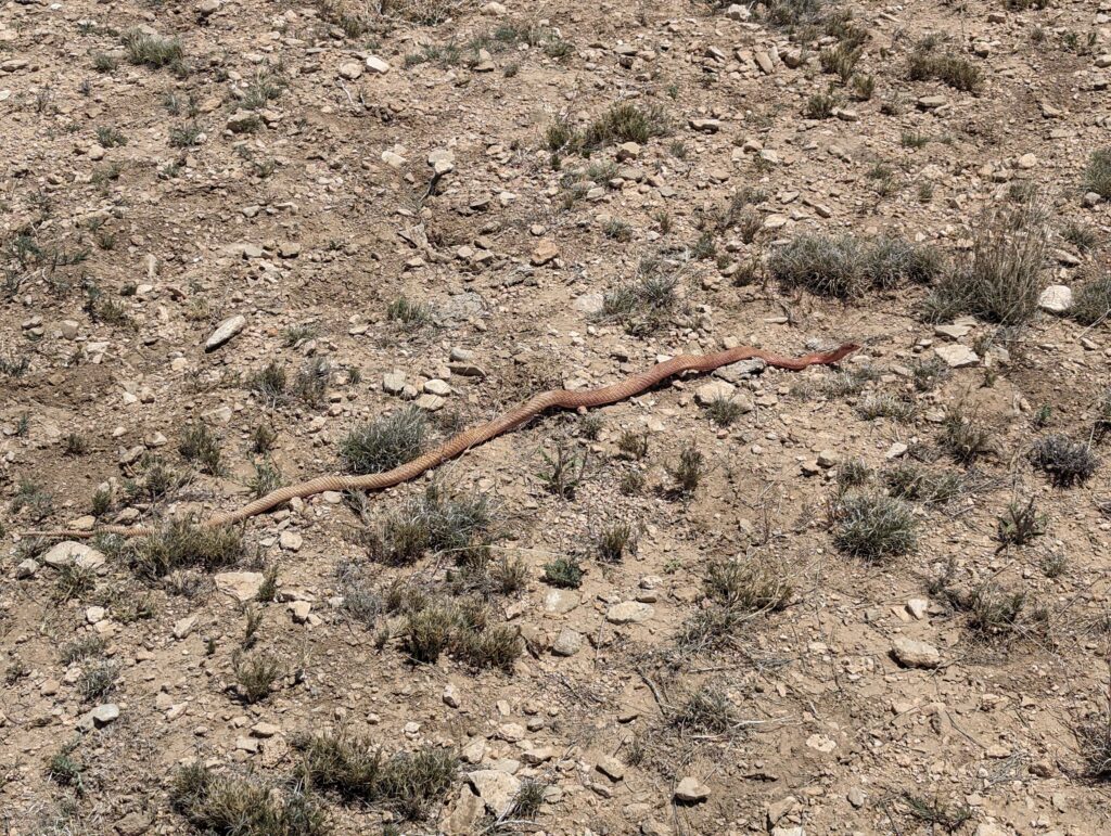
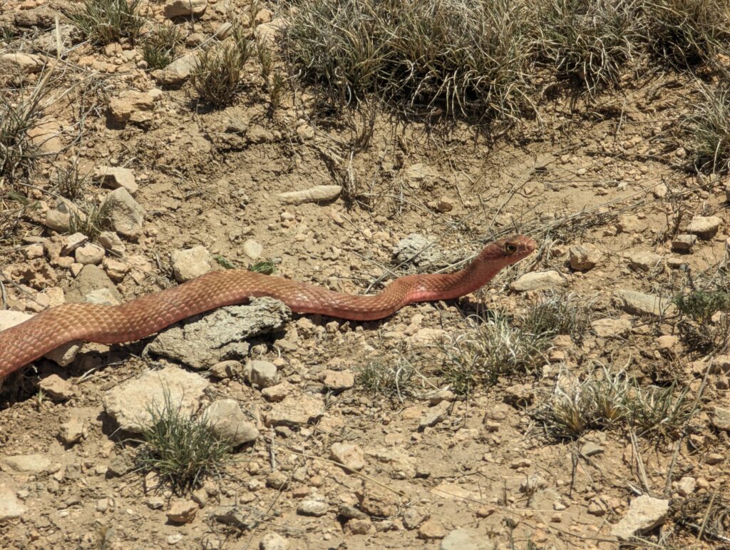
Next we revisited a POI Ryan and I had located on our February ridgewalk. On that earlier trip, Ryan was turned back by a bat in the entrance passage; we gave the cave four stars and looked forward to returning. But checking this cave out fully is apparently not meant to be this season: this time, Ryan was turned back by a large rattlesnake in the same passage, just short of where the bat had been. The snake was ~12’ in from the entrance, undisturbed by the rocks we had thrown in, stomping, and noise we made before entering. Ryan got a good look at the snake and said it was a large one. We wondered if it might be a pregnant female and whether the cave might be a snake den or a maternal nesting ground of some sort. Given the challenges in accessing the cave due to active biota, and in light of Ryan’s increased knowledge of gypsum caves in this area from his project participation, the cave now looked less promising than before, so we downgraded the POI rating to two stars.
Scouting ‘Team 4’ Area
With less than an hour remaining before we needed to leave the field, we wound up the day with a quick car tour of the new area we’d be working next, both potentially the next day but also during next Project Yeso season—an adjacent area Alex had shaded as “Team 4” in QField with high potential for pits based on lidar imagery. As we pulled away from our parking spot at BSA Cave, we saw Minori’s team cruising down the two-track we were headed for; they circled back and we met up with them down the road at the entrance to the Team 4 area. Eoghan said they had checked a couple of points close to the road in the corner of this area, and my team got a sense of its general topography. Both teams exited the field together at 6 pm for a 7 pm arrival back at the fieldhouse.
Team C: Tummy Troubles survey & ridgewalking
Alex Seaton, Joshua Mokry, Andrew Orr, Nikki Woodward
We were excited to continue exploring the cave that Sharon & Vanessa had found in March (and later named Tummy Troubles), but the weather in the morning was looking ominous. There was a large amount of cloud cover, and given we were getting towards monsoon season, we were wary of being in a stream cave when a storm hit. Fortunately, during the drive out, the clouds melted away, and by the time we parked the weather looked fine.
We got changed and made our way over to the cave.
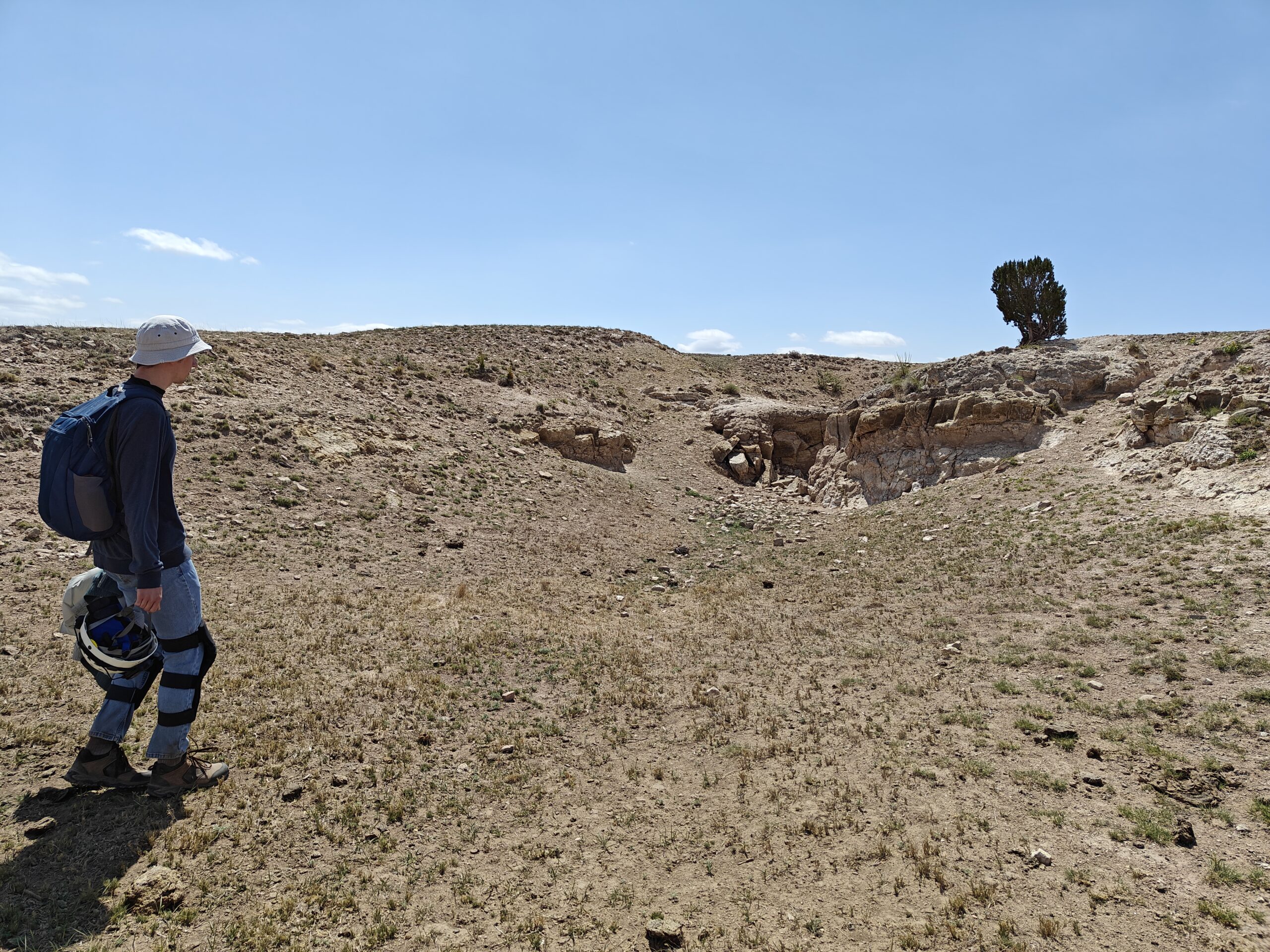
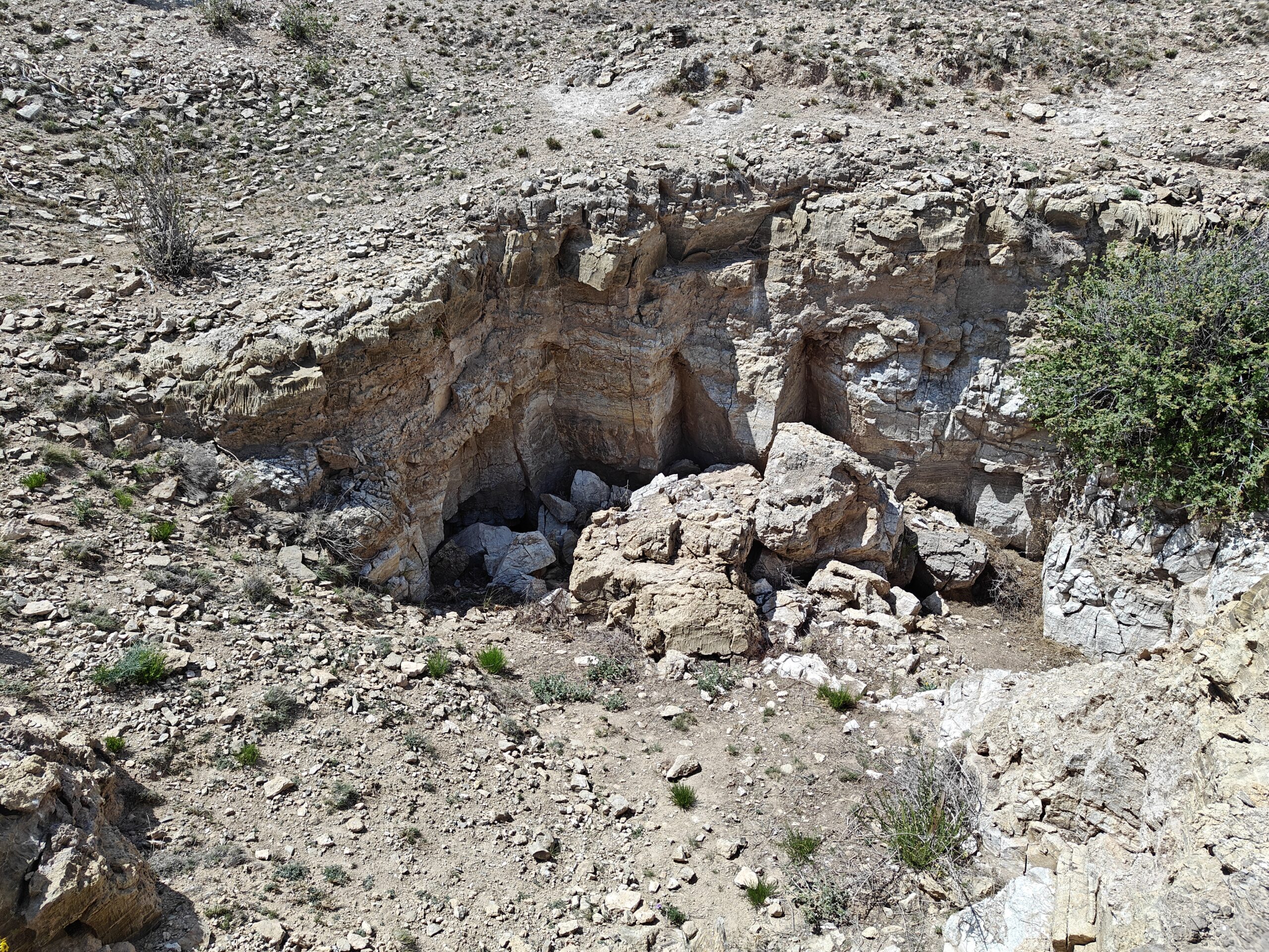
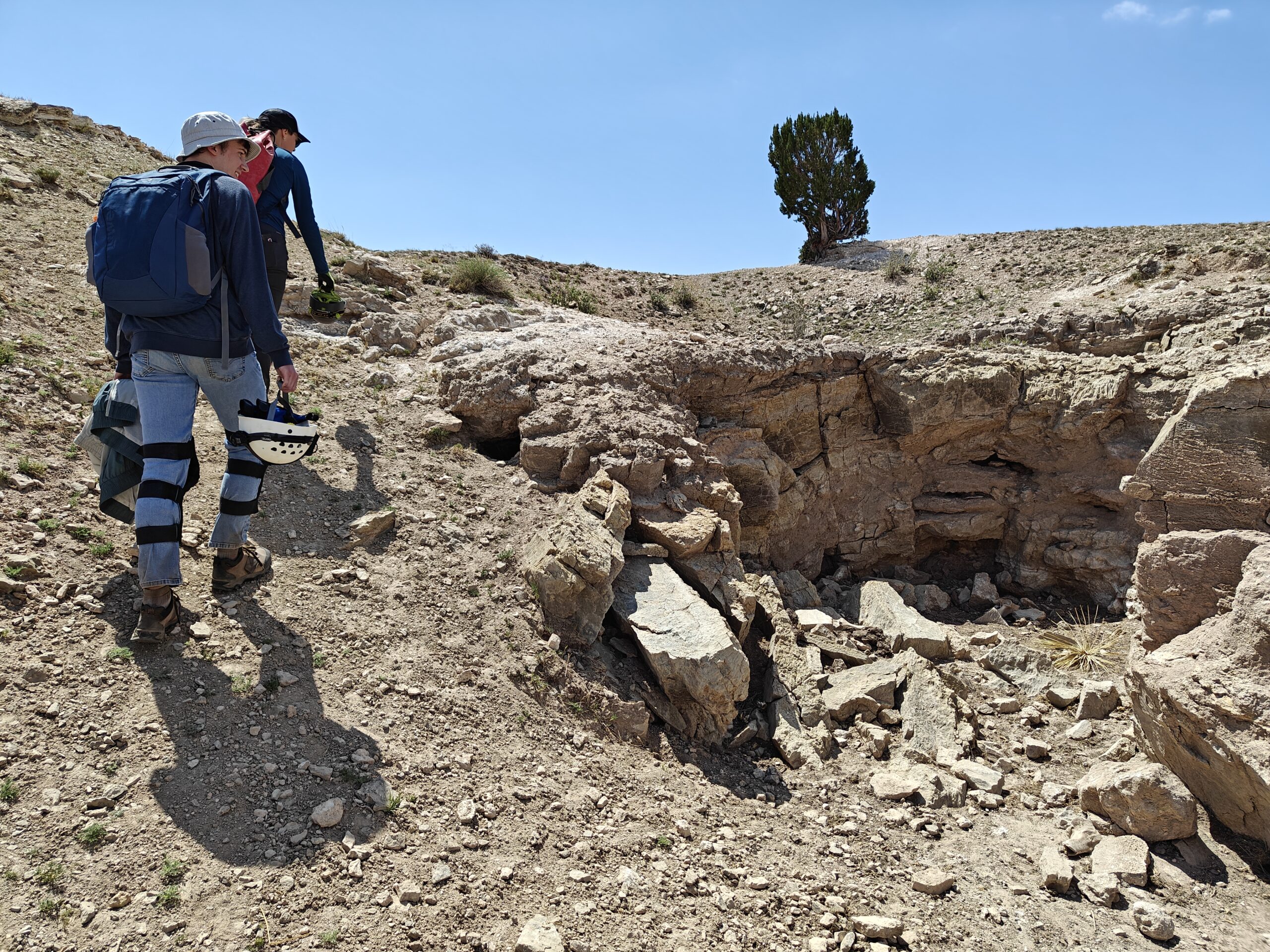
Before entering, we agreed to meet back out on the surface in a couple of hours for lunch and to check the weather.
Since there were four of us, we decided to split into two survey teams: myself and Joshua, and Nikki and Andrew. Since Nikki and Andrew hadn’t used the tablets in a while, we decided to do a quick training session near the entrance to the cave. We did a practice survey of the passage we were in, going over the basics and some troubleshooting procedures. Nikki soon got to grips with TopoDroid, so we were ready to get started on some actual survey.
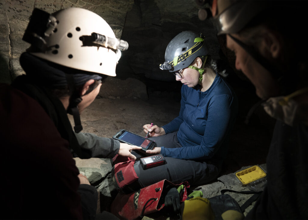
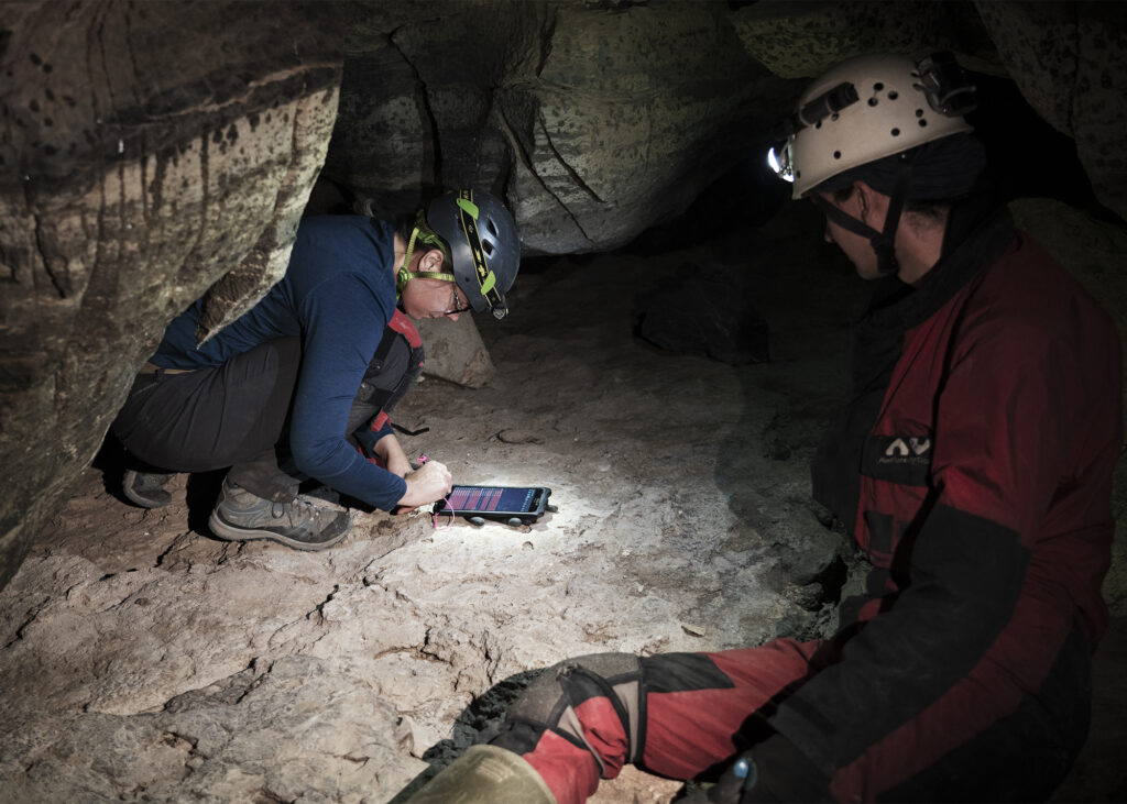
We split up at a junction that Tom, Allison and I had surveyed past previously. The left hand passage drops down into a tight crawl, before opening up again into a hands-and-knees crawl where we had stopped surveying. Since this goes into a lower level, it seemed to us previously to be the main route the water took, so I suggested that Nikki and Andrew continued on from where we had left off before.
Joshua and I continued along the right-hand route. This is a hands and knees crawl, with similar dimensions to the main stream passage we had been following. We had assumed last month that it was an infeeder, but it became clear fairly quickly that this was actually a continuation of the passage we had just come from. It continued trending at a slight downwards slope, and owing to the decent passage dimensions Joshua and I made good progress.
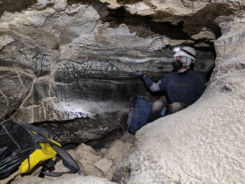
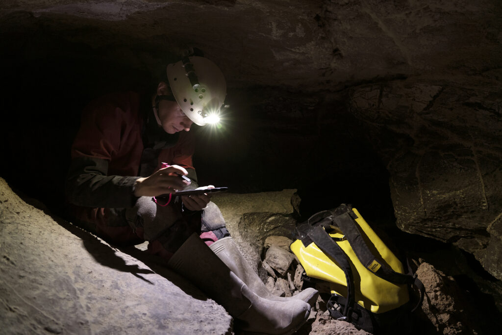
After a little while it was time to head out for lunch and to check the weather. We met up with the other two, and discussed our finds. It turned out the route Nikki and Andrew had gone down got very tight. While it may well be a lower route than the one Joshua and I had been following, it didn’t seem especially promising, and they were happy to leave!
We then started retracing our steps back to the entrance. Part way back, we stopped at the bottom of one of the pits. It looked like it was free-climbable and we were curious to see if there was an upper level. Andrew took the lead and headed up to investigate. Strangely enough, the top of the pit was blind, and he couldn’t find an obvious continuation.
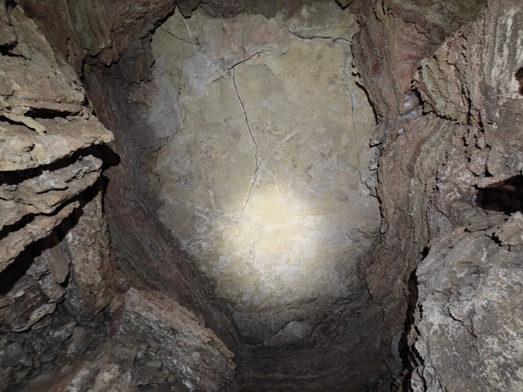
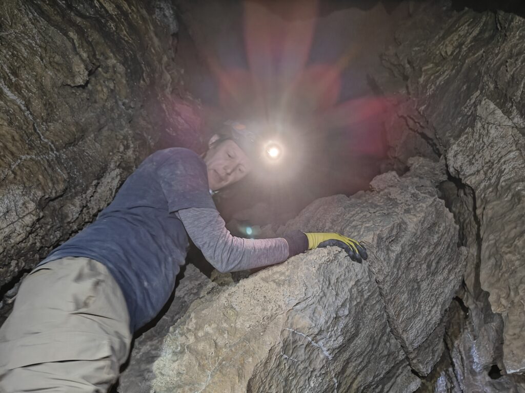
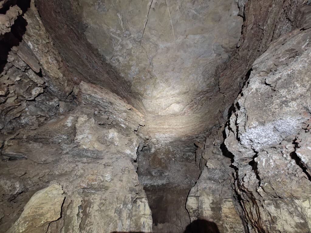
I didn’t believe Andrew’s nonsense for a moment. So I headed on up there myself to prove him wrong. Unfortunately, he wasn’t — it really does just end!
We then continued on towards the entrance. Back outside, we took a break and stopped for lunch. In the space of a few hours, the clouds had started to build back up, and it looked as if there was a storm incoming.
Given the weather, we decided to switch to ridgewalking instead of continuing survey. This was somewhat frustrating considering we hadn’t had a huge amount of time to survey, but better safe than sorry! The area we were in didn’t have any good leads, so we drove to the area that I had been working on in March with Riley, Sharon, and Vanessa.

From where we parked, we headed roughly east to investigate a series of depressions. The first of these turned out to just be featureless dolines. From there, we headed south to a cluster of then which also ended up going nowhere.
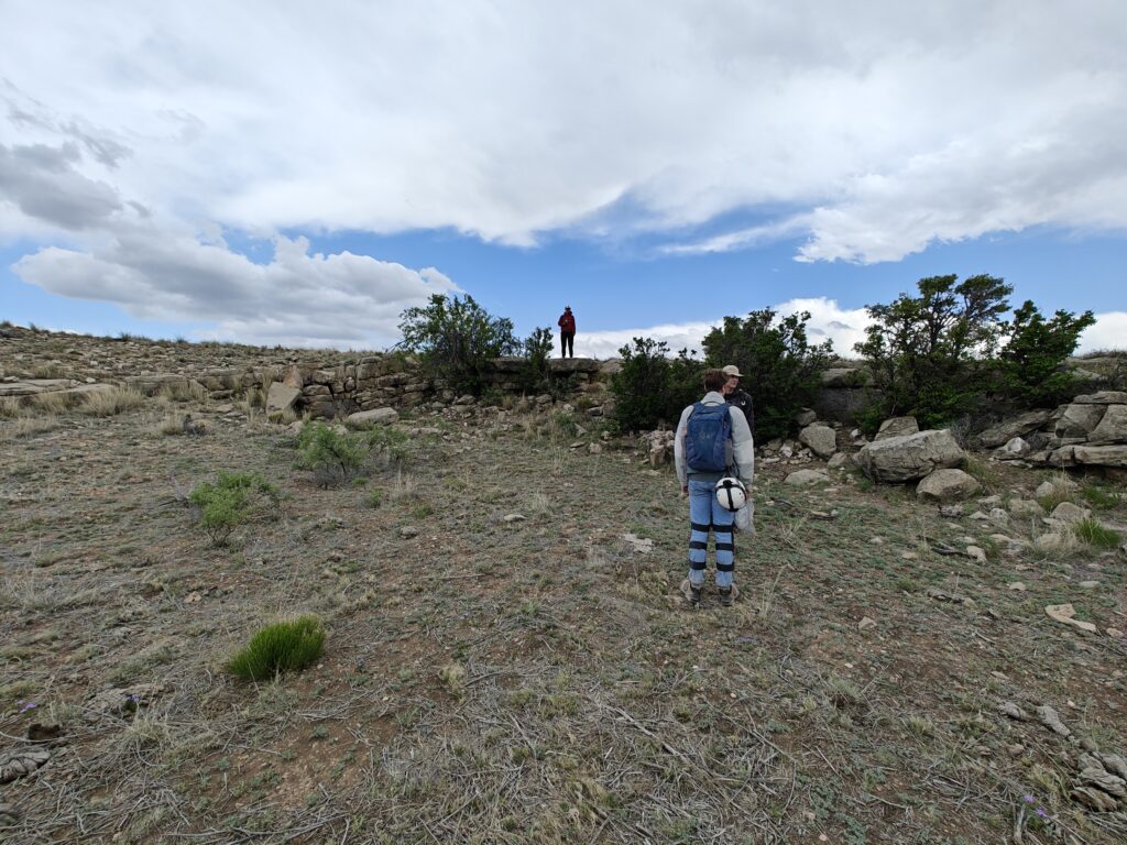
All this time, the clouds had been building up, and finally let loose. We were hit by a burst of heavy rain, and began to wonder if we should head back. Fortunately, it died out after a couple of minutes, so we decided to press on.
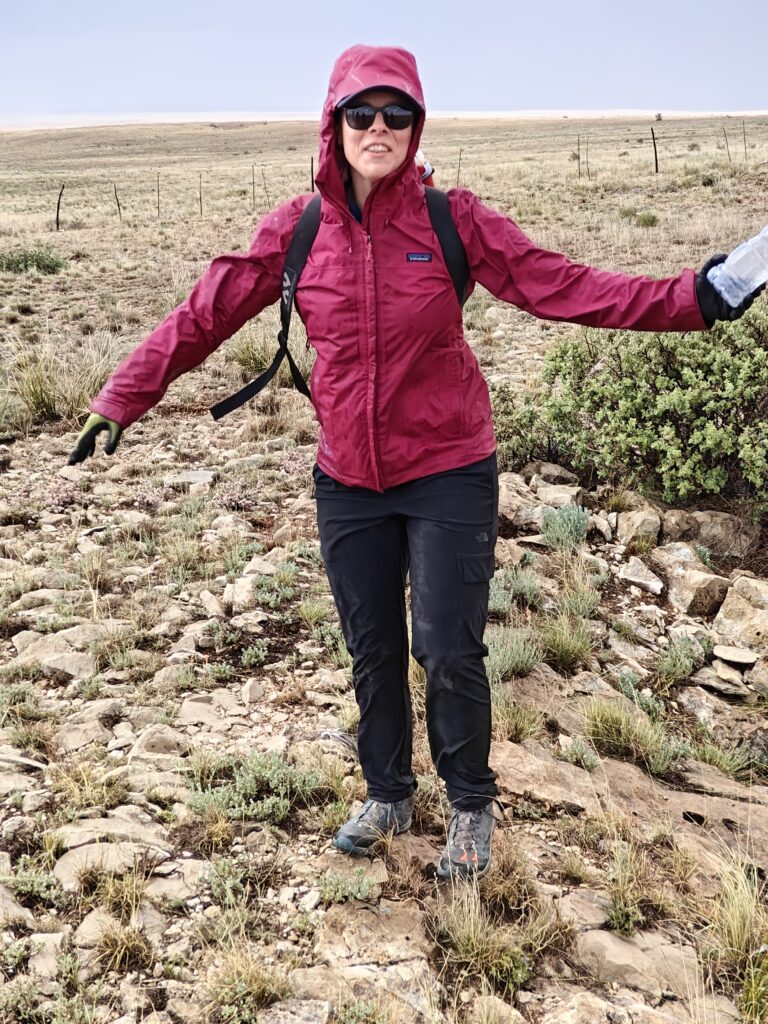
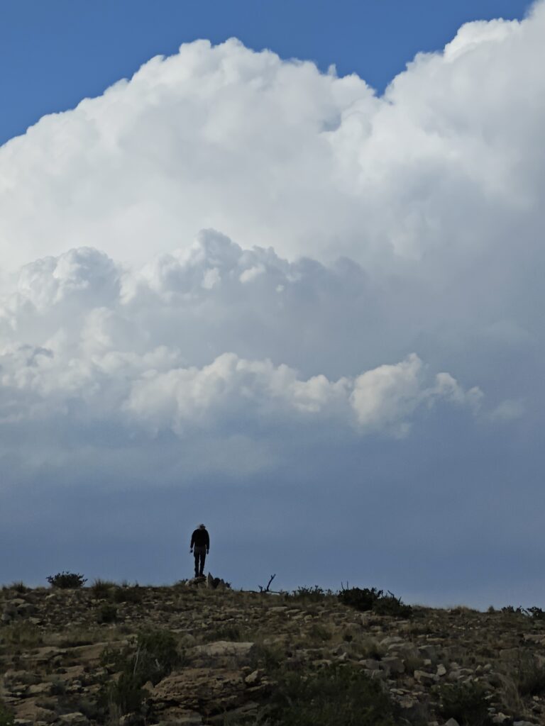
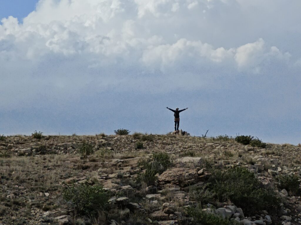
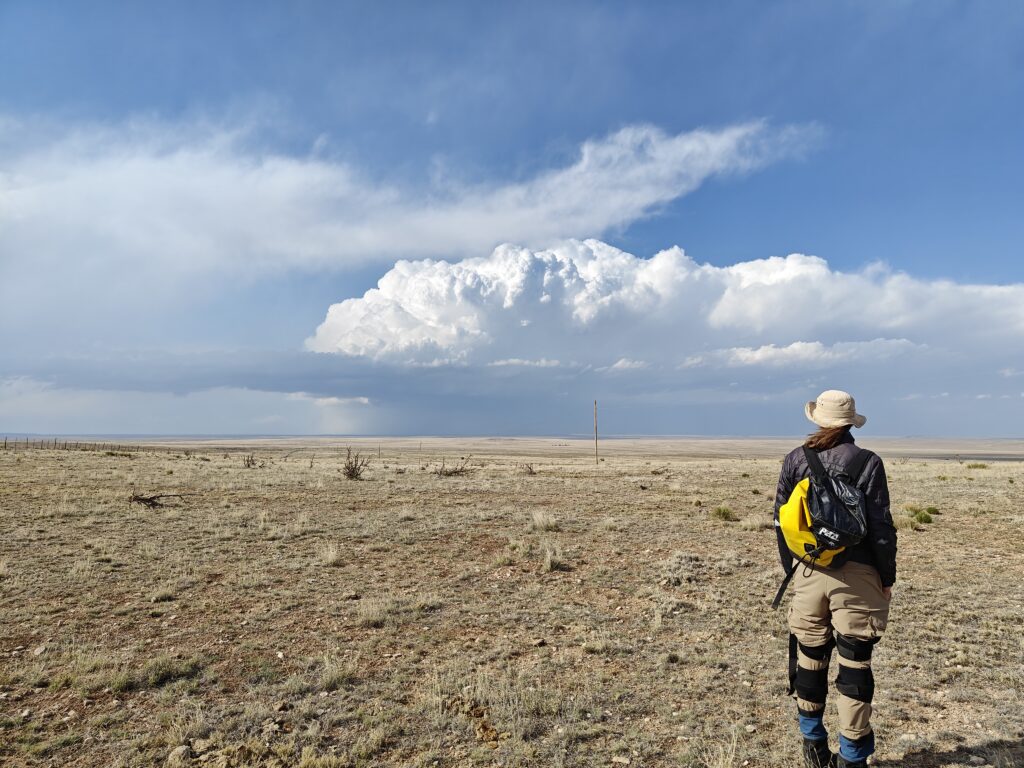
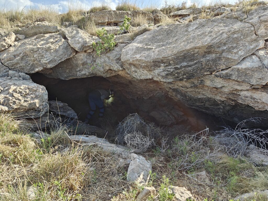
We next headed further east to check two final features. The first was a lidar hit, which at first glance seemed to be a small shelter cave. I was keen to move on, but Joshua and Andrew figured it needed further investigation. And they were right! It turned out there was a small passage on the right hand side of the shelter, that led on.
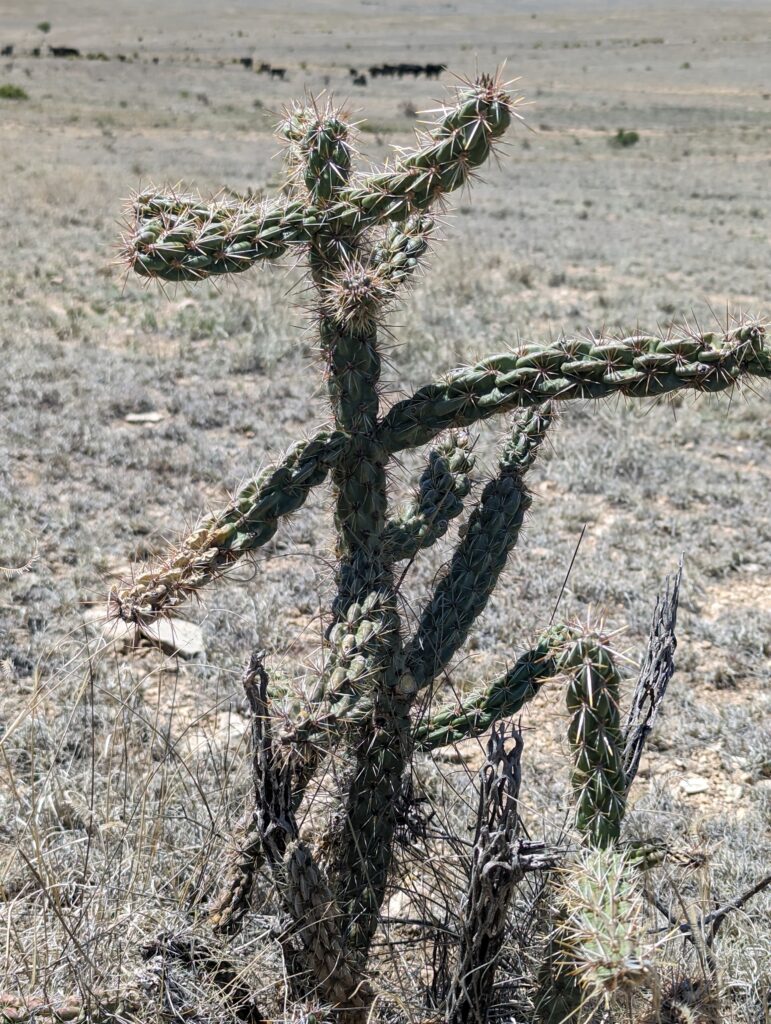
Andrew pushed it, and discovered a collection of packrat droppings and cholla spines before it got too tight after about 20ft. He then spent a good few minutes removing all the cholla spines that had embedded themselves in his clothes and various limbs. Isn’t caving fun!
Our final stop was at a feature that looked like a fairly significant drainage sink. Unfortunately, there was no obvious entrance in the main doline. The route that the water takes appears to be filled with sediment.
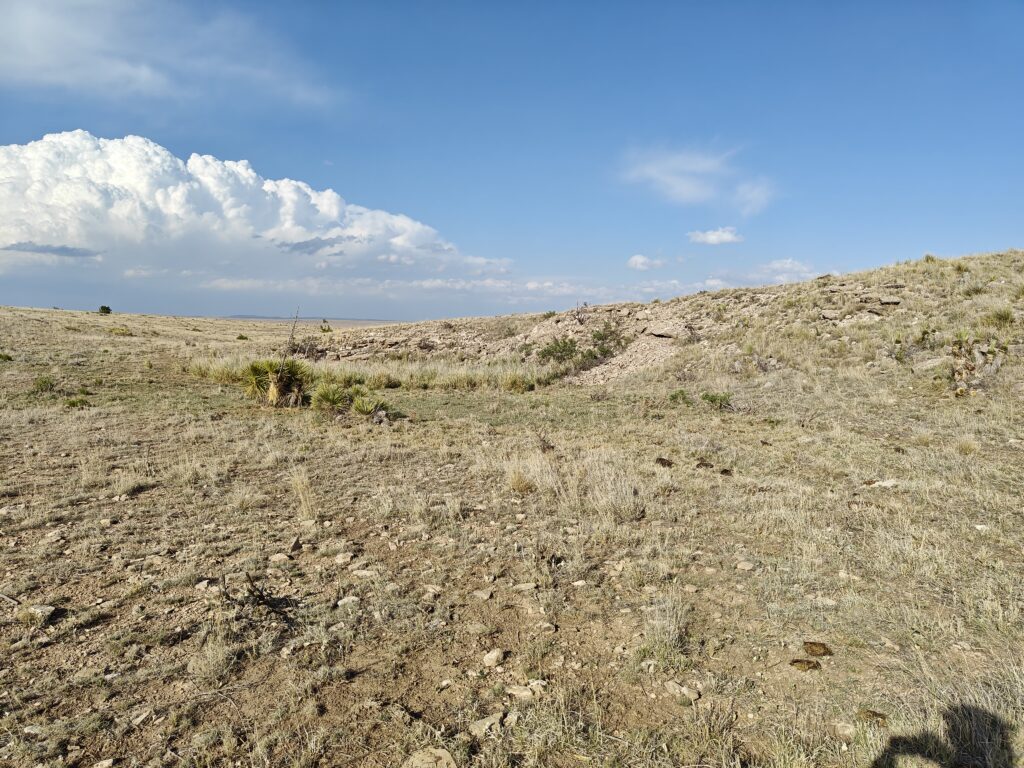
However, there were several collapse features visible in the lidar nearby, which seem to line up with what is presumably the cave passage beneath. We investigated several of these, most of which didn’t go. One particularly deep feature had several birds nests inside.
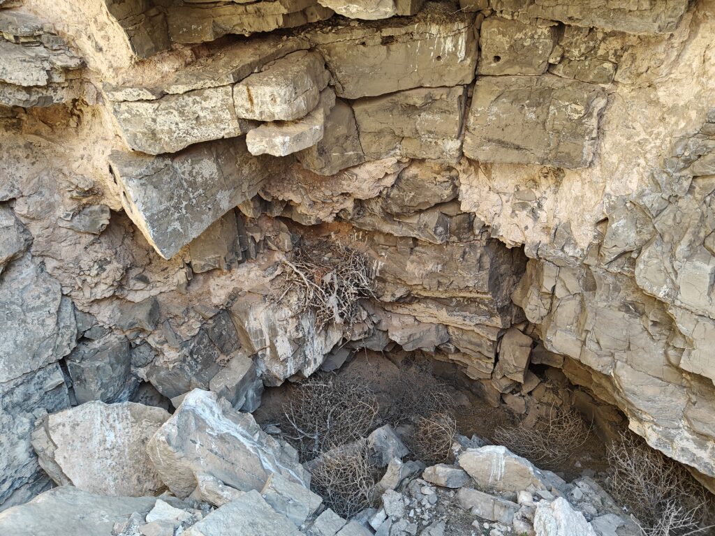
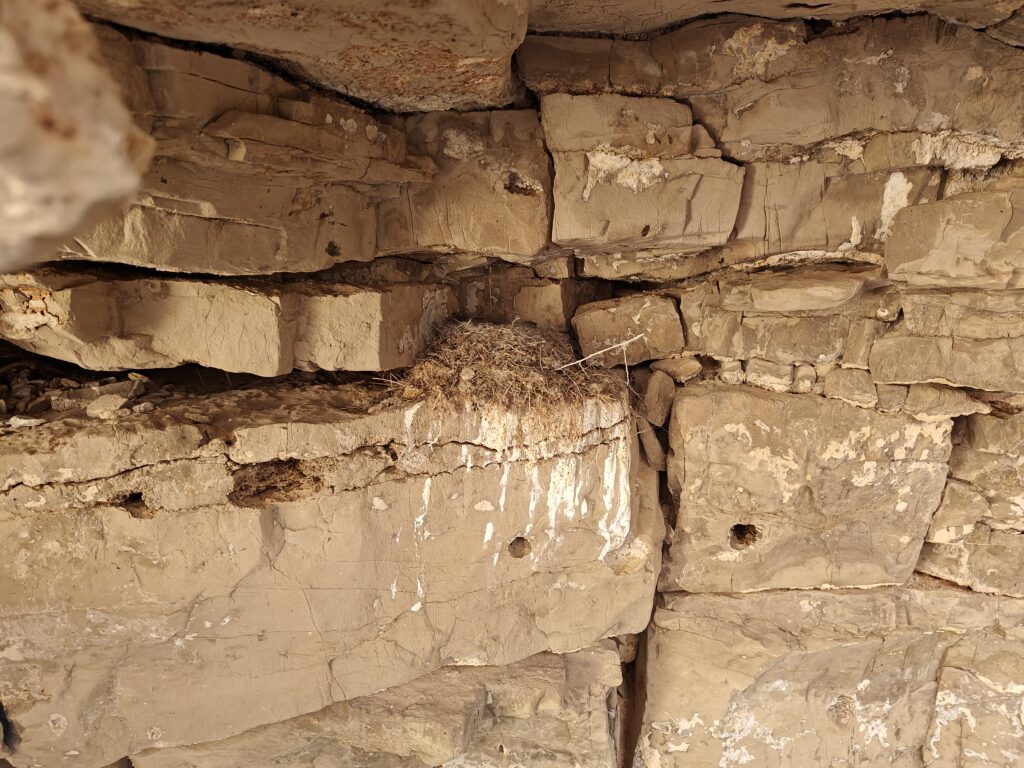
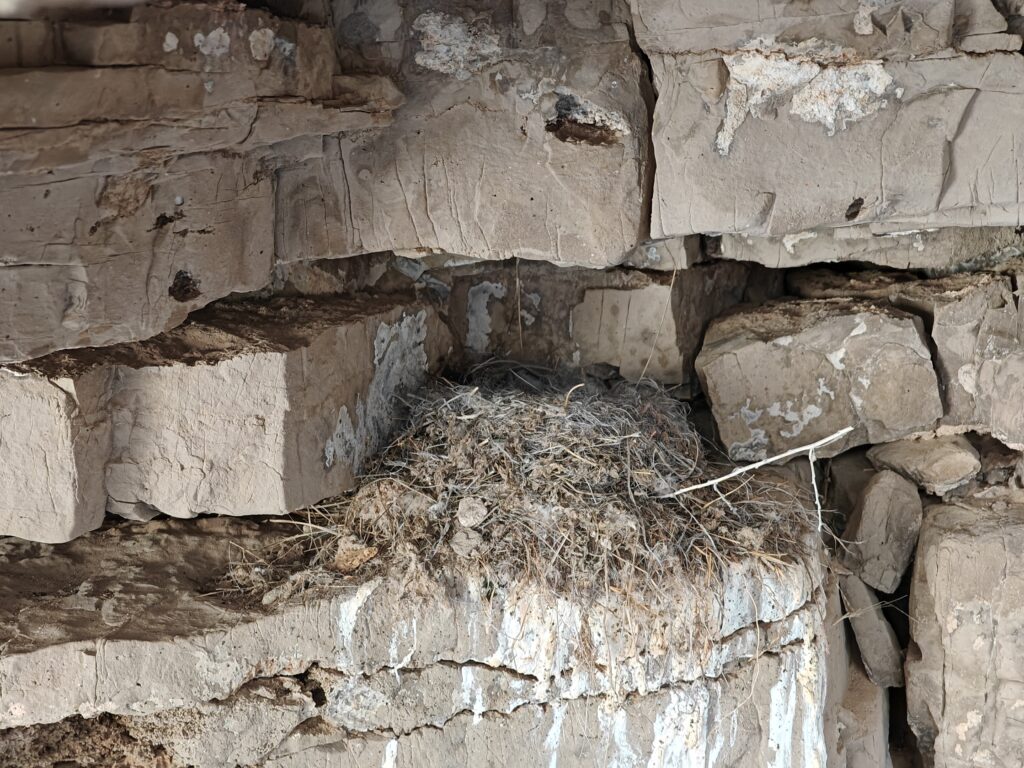
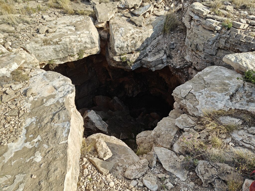
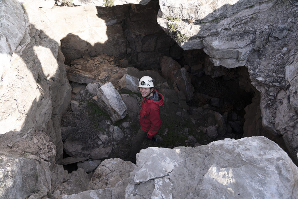
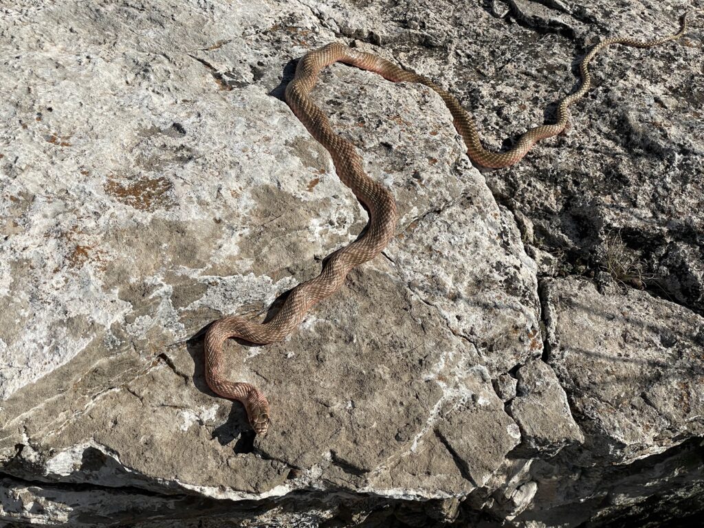
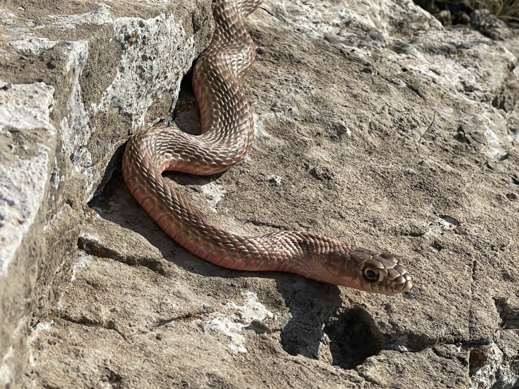
Finally, we were unable to investigate one of the more promising features as there was a large snake residing inside.
Sunday
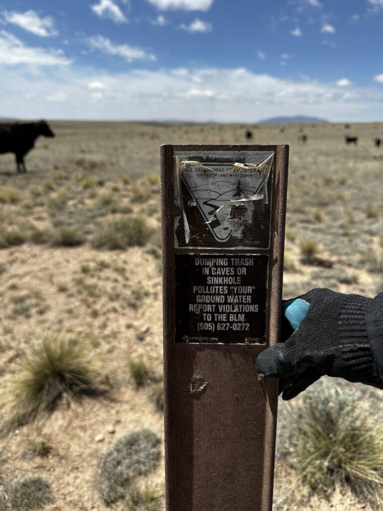
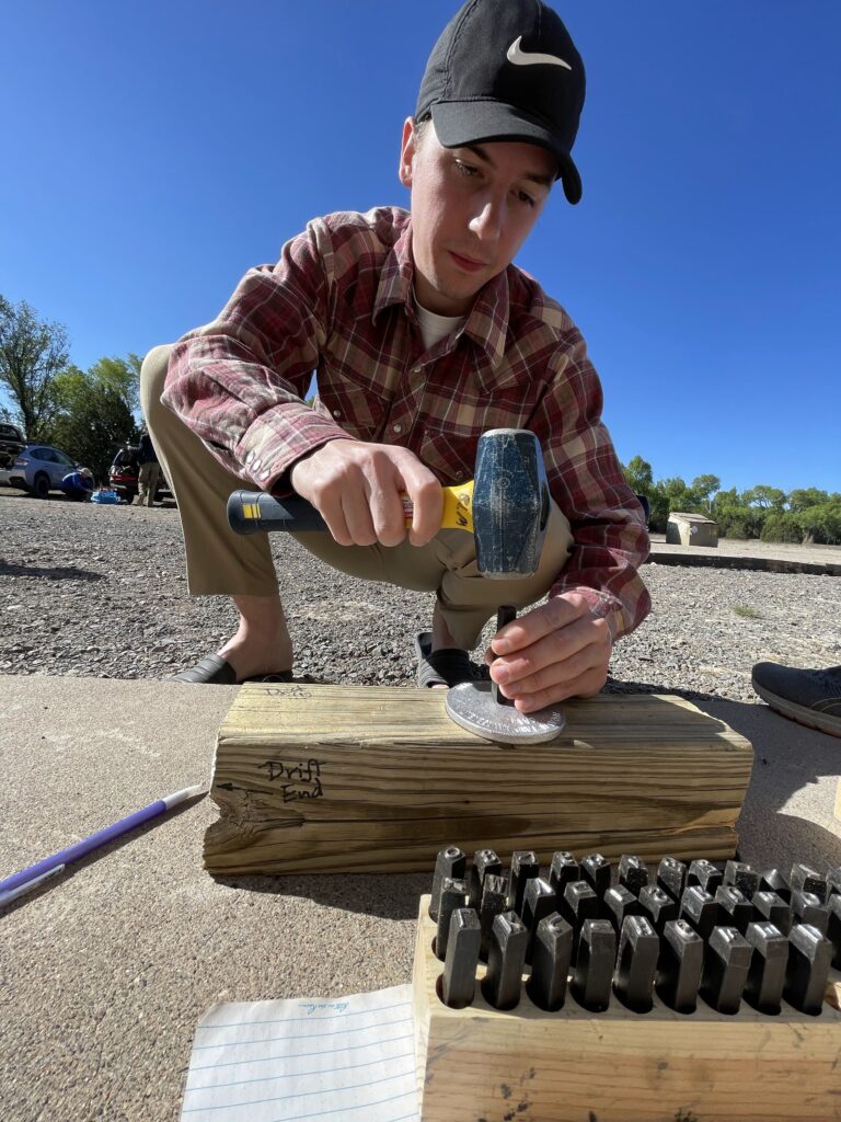
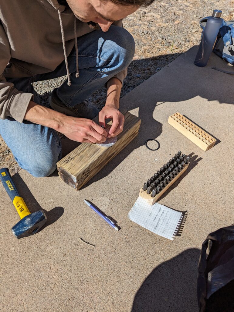
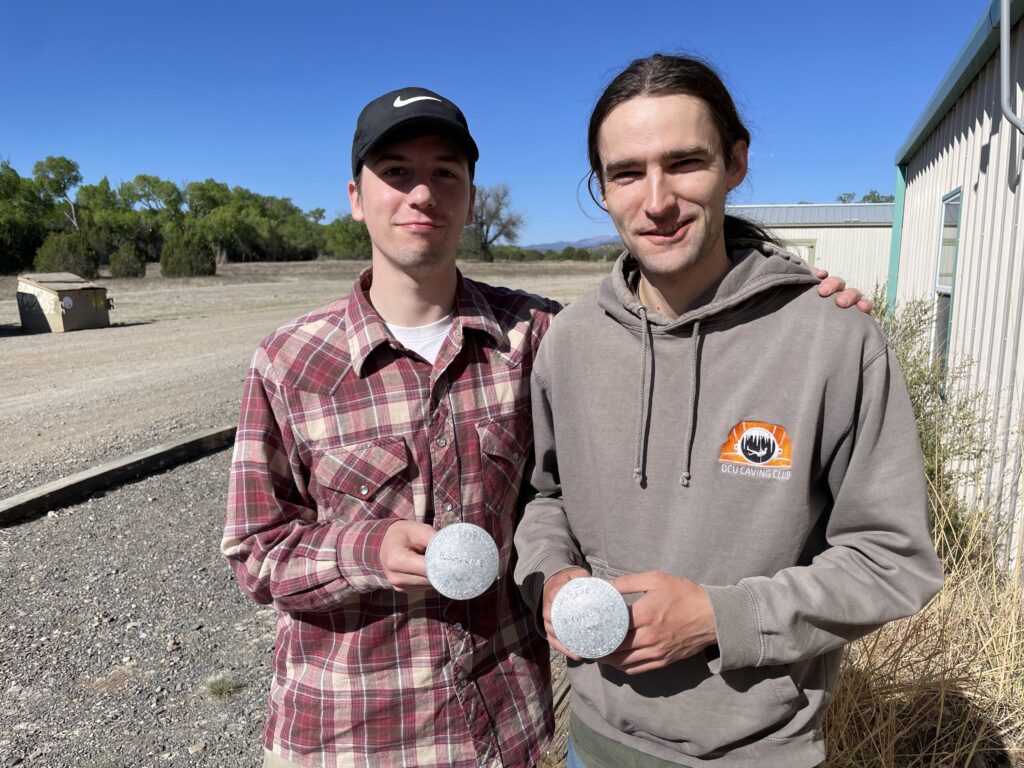
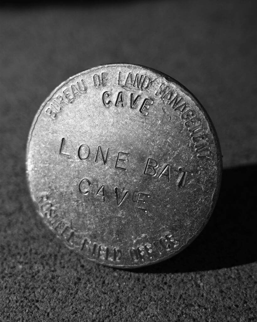
After packing up and cleaning the field house, Joshua, Eoghan, and Andrew stamped out a few more BLM cave markers to be installed on a future trip.

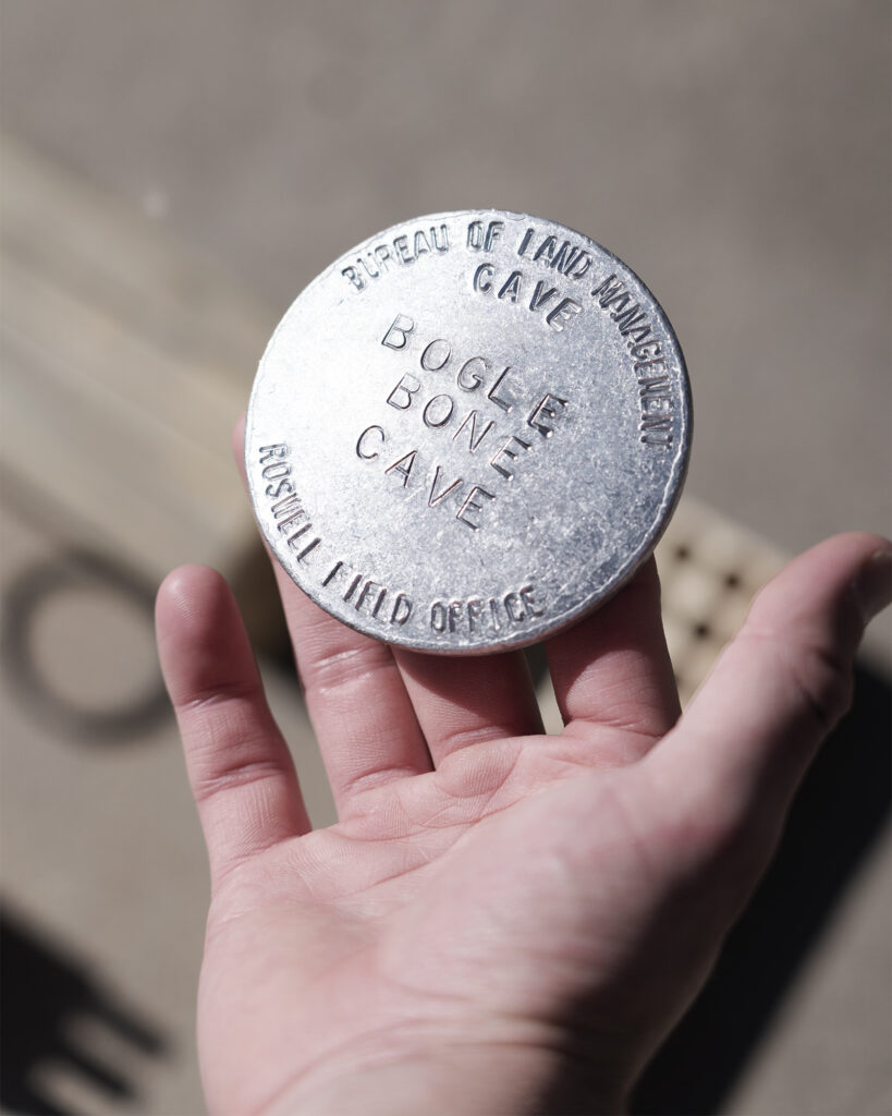
Ridgewalking
Carrin (TL), Ryan Marshall, Andrew Orr (TL), Joshua Mokry
OBJECTIVES:
Begin ridgewalking Team 4 area
Document and expand documentation of Team 4 area POIs
After checking out the POIs in the Team 4 area on QField, Andrew and I decided to split the area into two halves, as it’s bisected neatly by a two-track. Andrew and Joshua headed over to the eastern half of the area to ridgewalk, and Ryan and I took the western half.
Carrin & Ryan
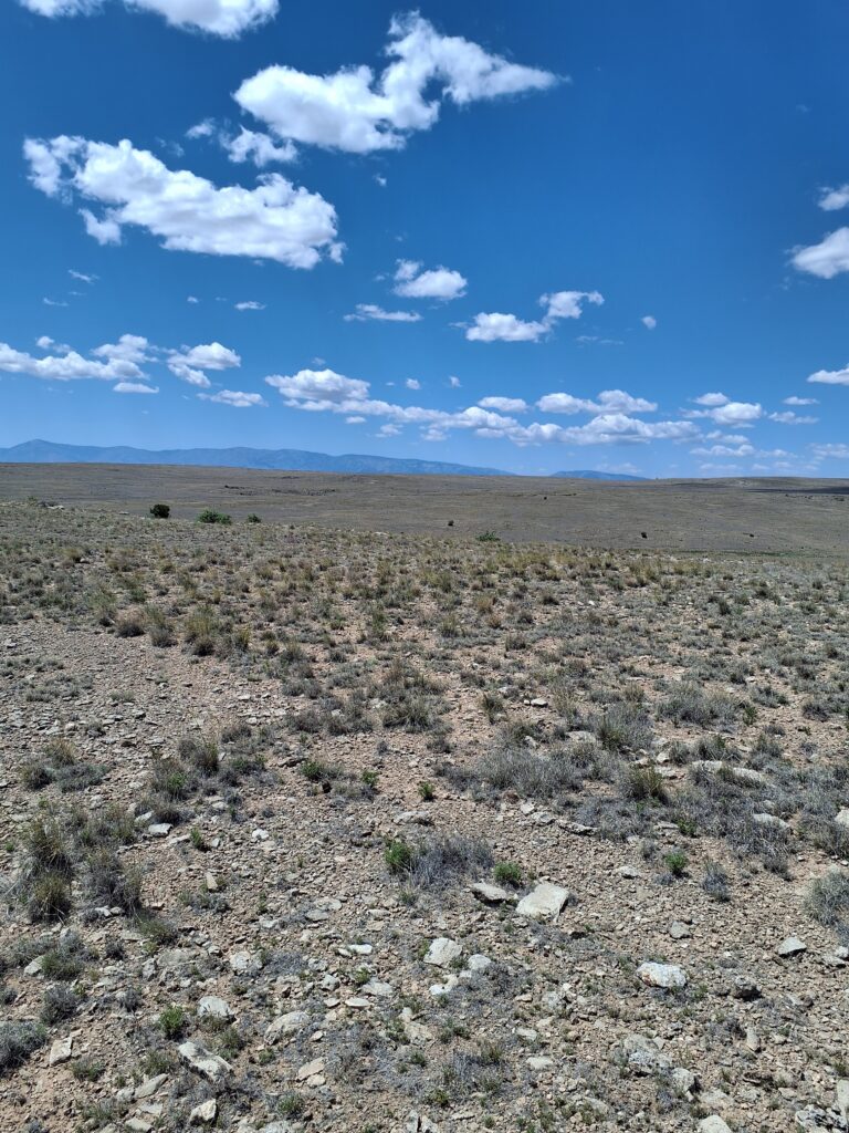
Compared to the Team 2 area we’ve been working this season, the topography of the Team 4 area is slightly more open and with better visibility across distances. From a high point, Ryan and I could see a dozen areas of interest that eventually need to be checked. But our agenda for this day was to hit the known POIs marked in QField and see if we could add to the info on them in the database. Confirming uninvestigated points as not caves is as helpful from a database standpoint as locating new features, and we felt if we could knock out some of the POIs located on satellite imagery, we would set ourselves up for exploring the area more thoroughly next season.
To expedite our work, we decided to drive instead of walk to the POIs. In our 4-hour work session, we confirmed four POIs as not caves and one as a dig, and we located one cave entrance that wasn’t yet marked in the database.
The confirmed-not-caves followed a similar pattern: pits of depths between 2′ and 6′ that were filled in with tumbleweeds and other vegetation and plugged with sediment. They had all been located on lidar/satellite rather than on foot. Ryan braved the snakes and ticks to jump in and see if he could uncover any going leads. Only one site rose to the level of being relabeled a dig; a return trip here needs a shovel or rakes and heavy gloves to clear away the vegetation and some agricultural waste (barbed wire and a wooden fence post).
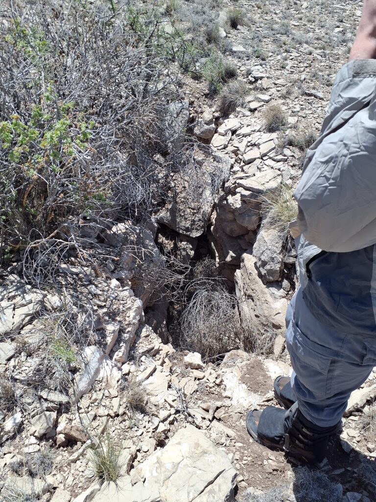
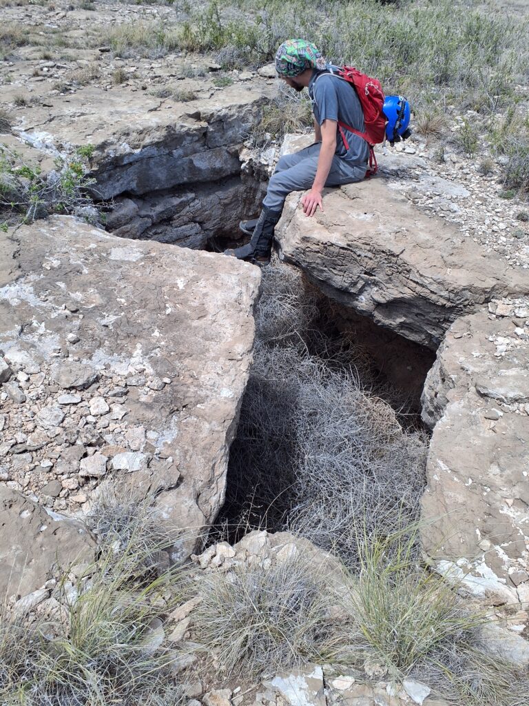
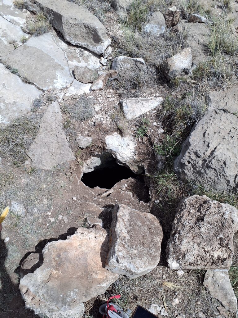
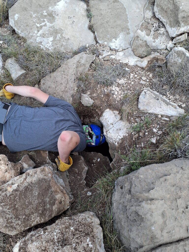
We ended the day on an up note when I came across a pile of rocks that stood out because they had been placed deliberately [Ed.: this is the same feature that Minori, Jason, and Eoghan visited on Saturday, oops!!]. Knowing landowners often do this to keep their livestock from falling into pits, I removed the rocks and, sure enough… a pit!
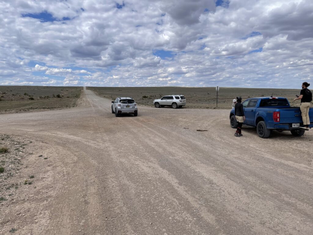
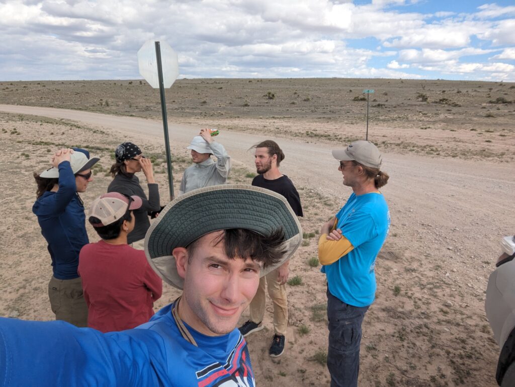
We rendezvoused with Andrew and Joshua at 3:30 pm to exit the Team 4 area and to make the whole group meet-up at the crossroads at 4 pm.
Andrew & Joshua
Joshua and I caravanned with Carrin and Ryan out to the Team 4 area of interest. From here, the plan was for Ryan and Carrin to be in Ryan’s vehicle and map the westerly POIs that were west of the main North/South running road through the Team 4 area.
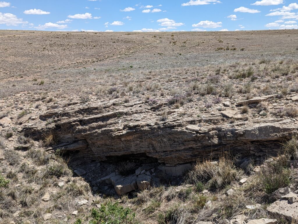
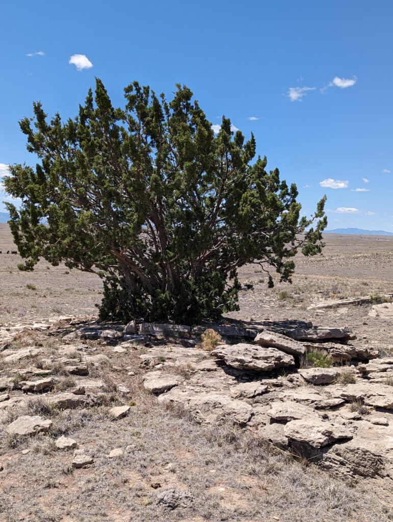
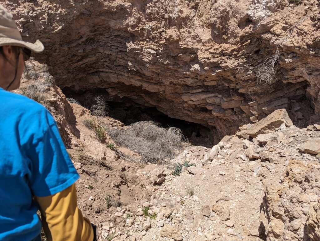
Joshua and I would look at POIs and dolines on the eastern side of this road. We started in the northwest of this sub-area and worked our way south and to the east covering all of the POIs except for one (easily accessible off of the dirt road). Of these, there was only one area that showed much promise and that was also right off the road. We found a GypKaP tag at the entrance of the cave and stuck our heads into it as far as body length would allow. The cave is very tight and makes a hard left turn with a tiny room (possibly enough for a small person to turn around in) and then keeps going. We did not feel comfortable wiggling back any further than body length and so we moved onto the next POI.
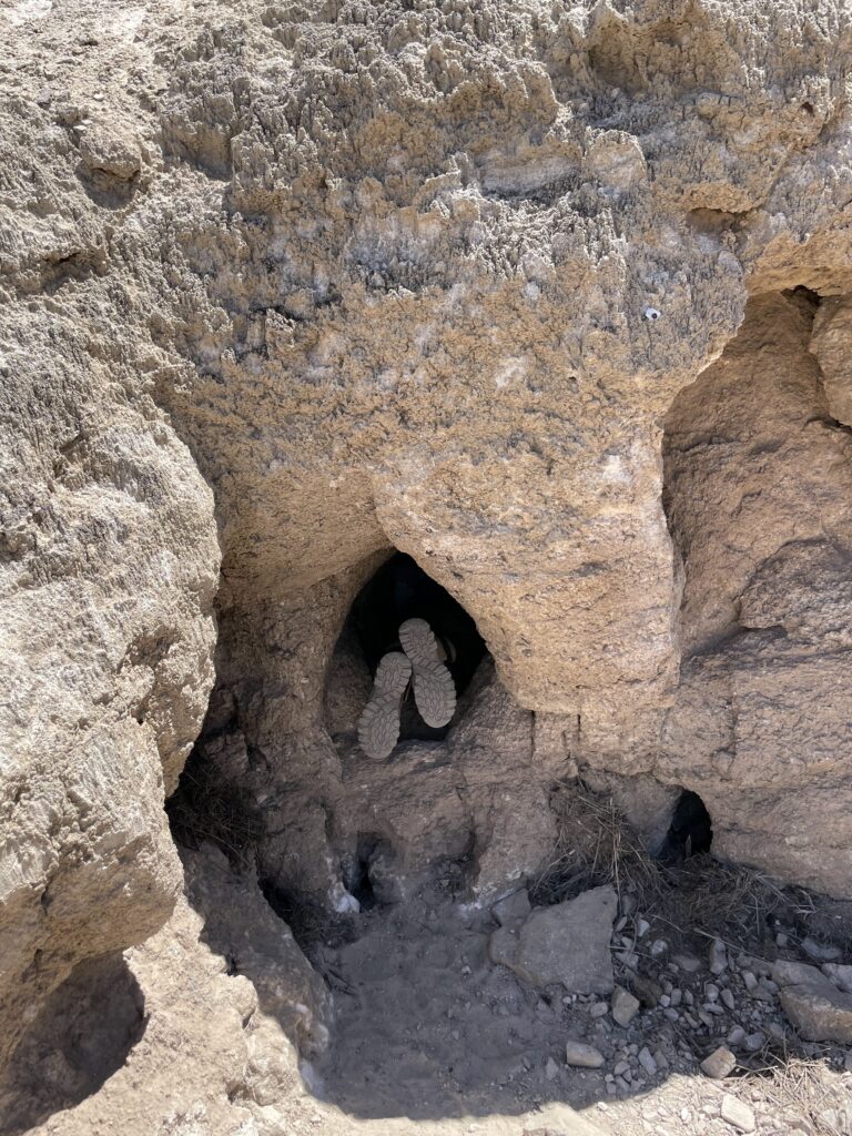
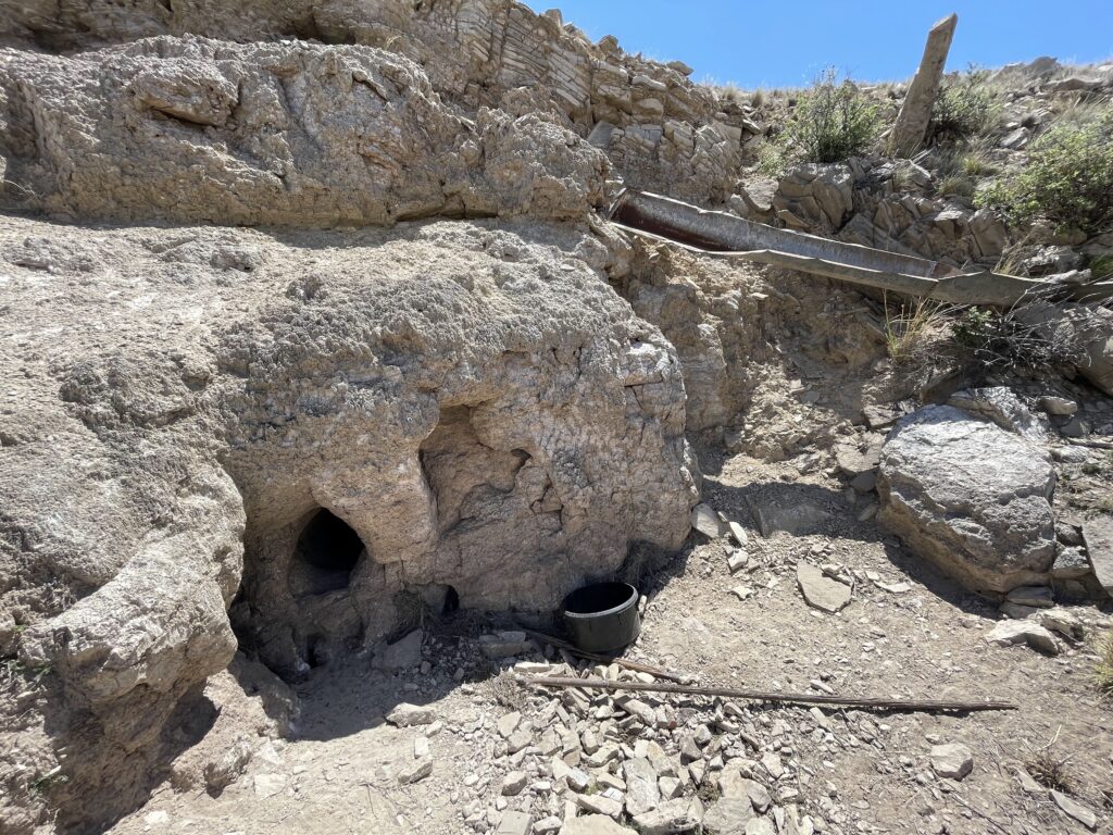
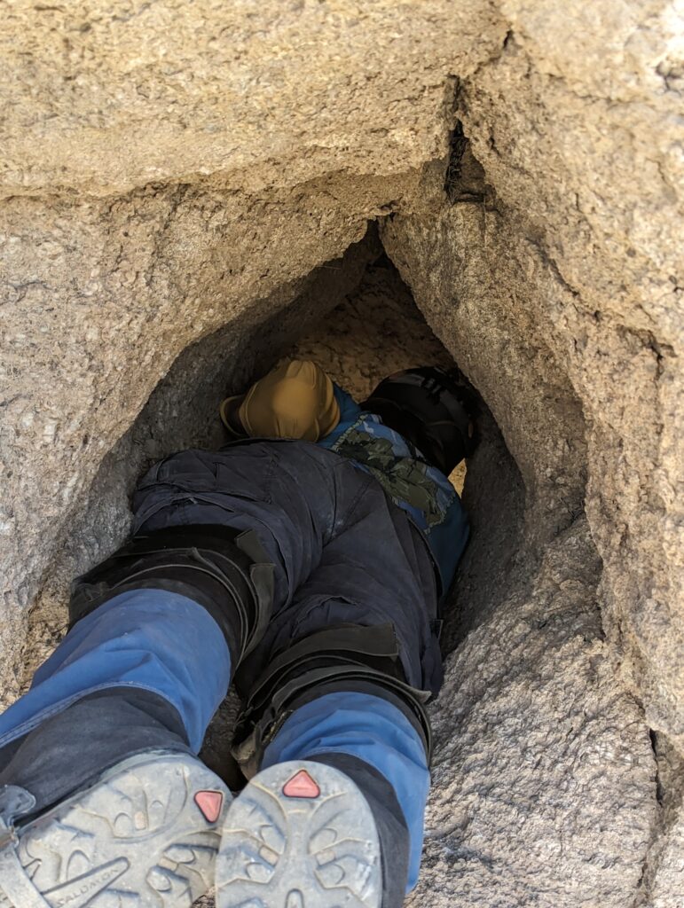
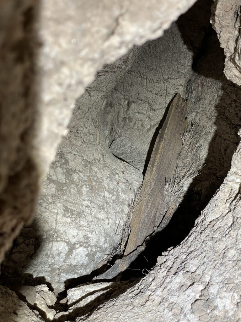
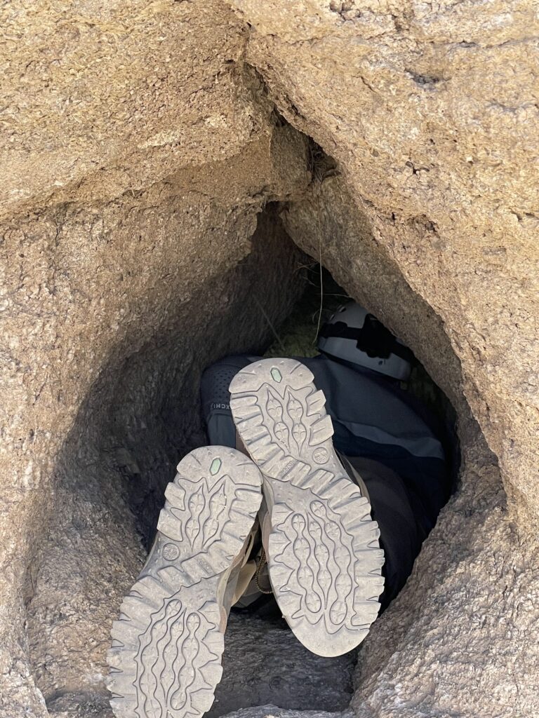
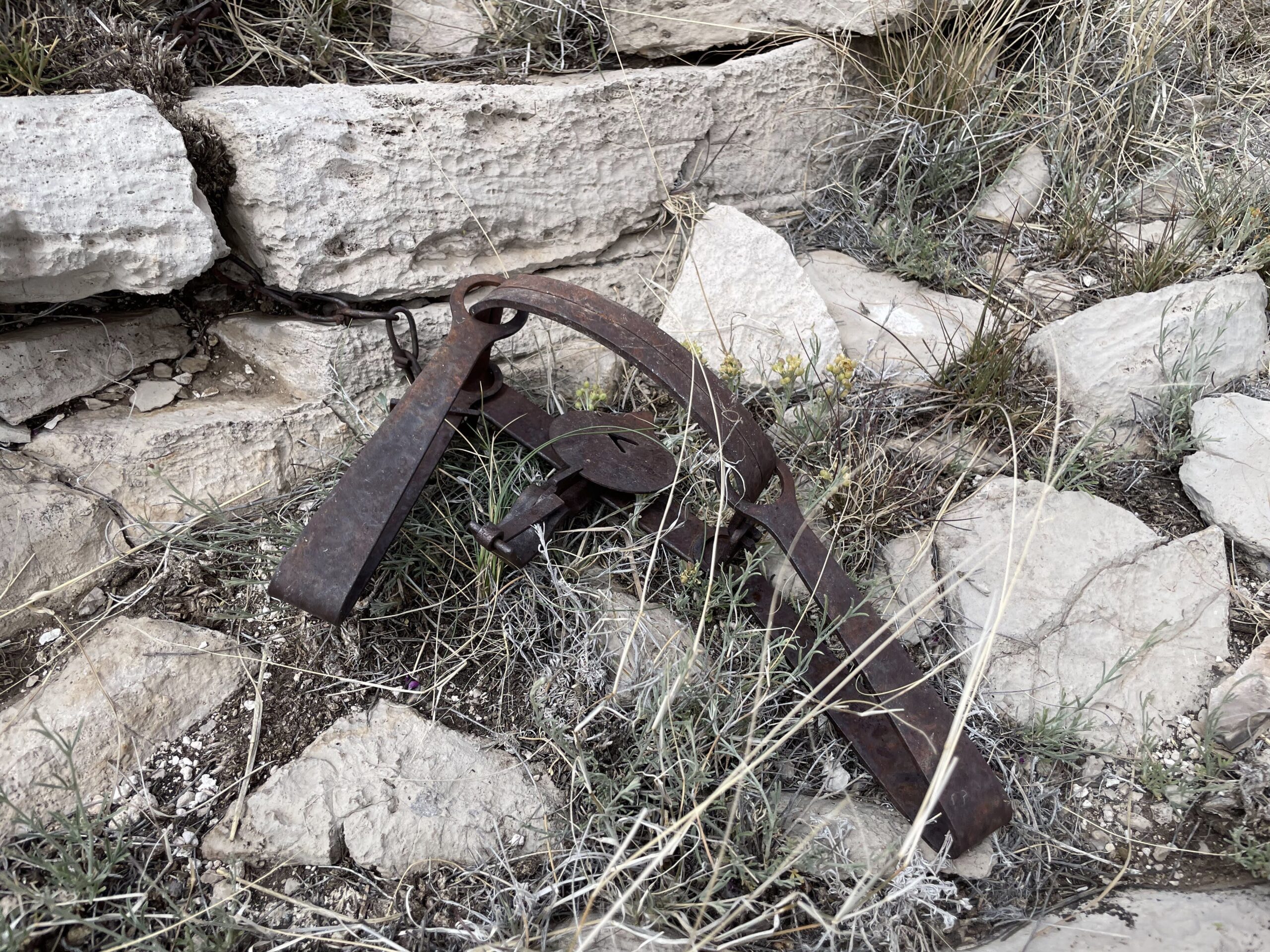
Above this cave, however, there are some smaller caves or possibly skylight-type holes that feed into the cave. These are equally as tight and decline at a 45ish degree angle and would be dangerous to go into without ropes and a lot of hoping that rocks don’t slide back in behind you. After that cave, we continued to the rest of the POIs and didn’t find anything of interest. On the way back to the car we stumbled on an old iron animal trap.
Zia Christine Survey
Alex, Minori, Eoghan, and Greg went to Zia Christine to continue survey. Eoghan and Alex worked in the dry side, and Greg and I worked in the stream passage.
Minori & Greg
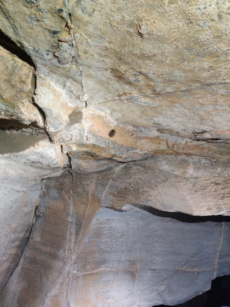
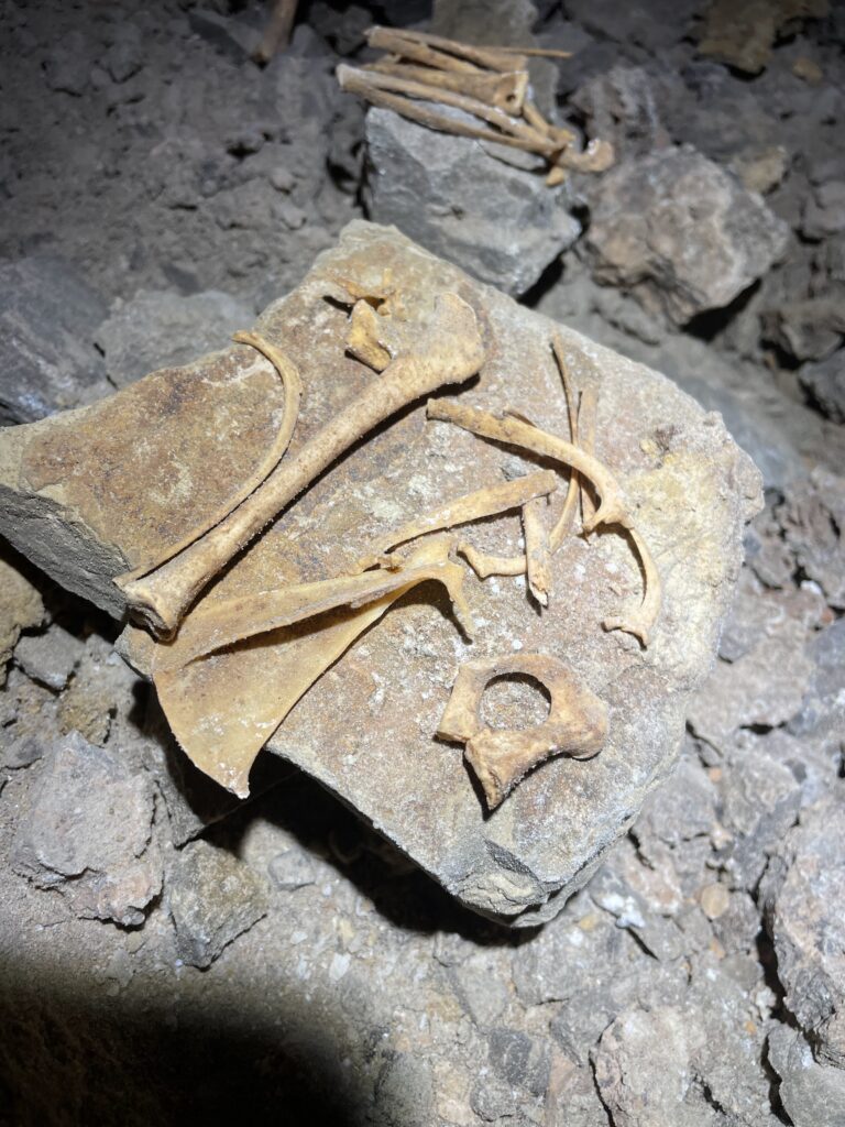
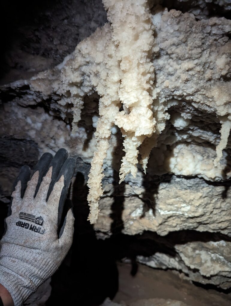
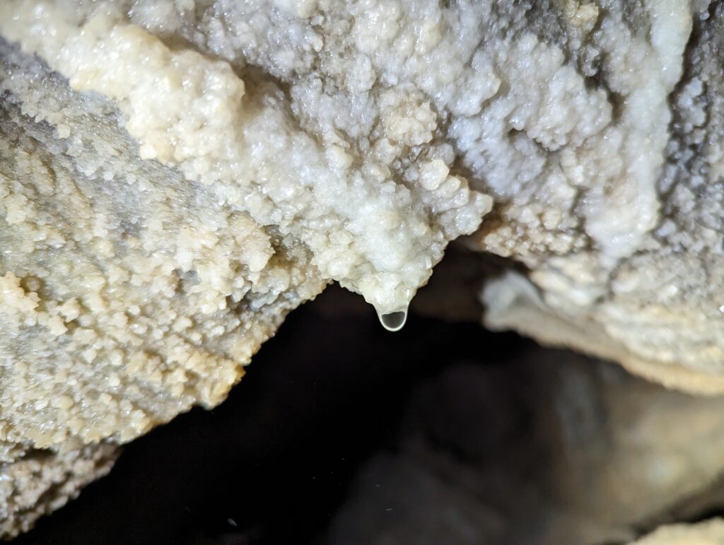
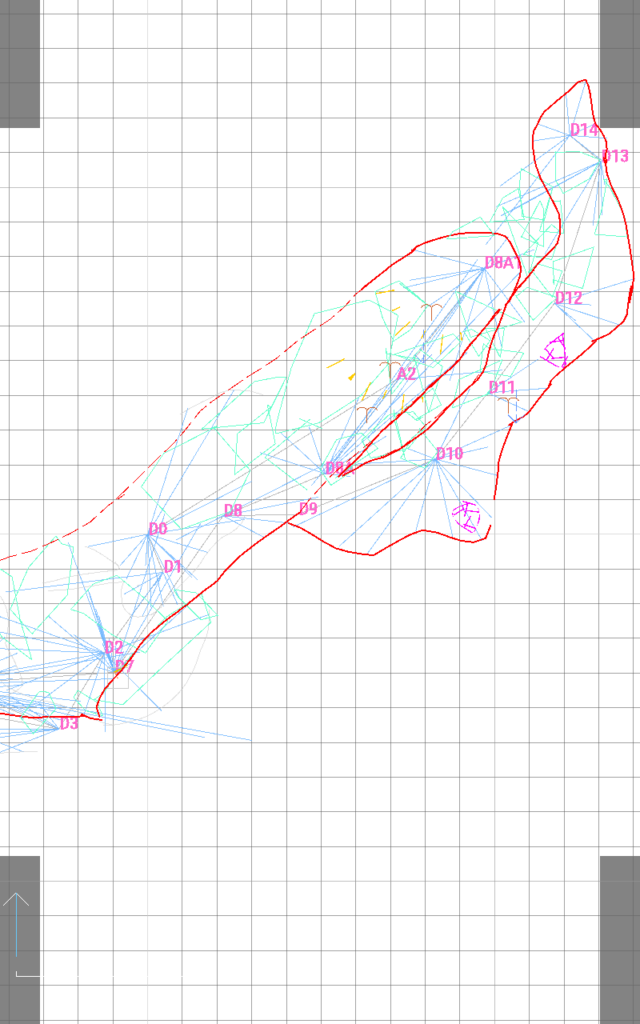
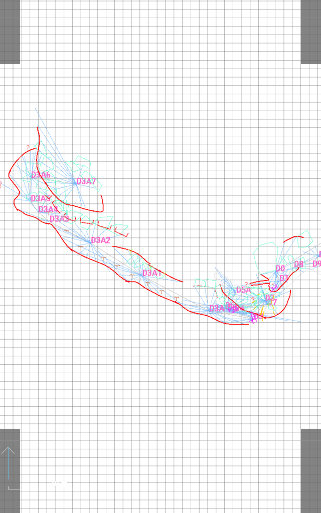
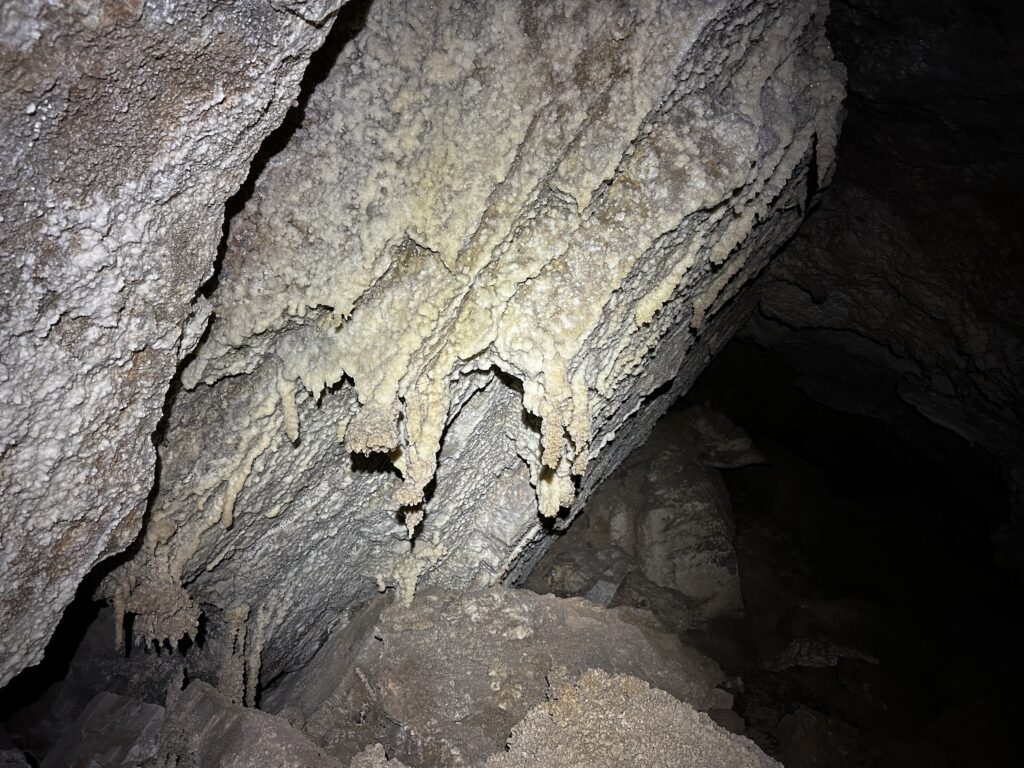
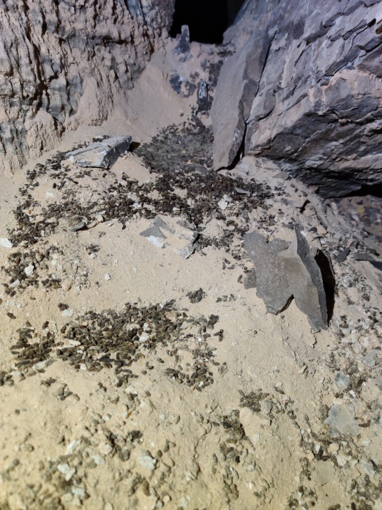
We found beautiful crystals in some of the dry rooms, and even an active water drip. Bat guano was found throughout. The stream passage dropped down through the floor near station D10. The small room below had three skulls of a medium sized animal, perhaps goats, or sheep. We went back up to fully survey areas of D8A, which was breakdown that trended uphill and had lots of old bat guano.
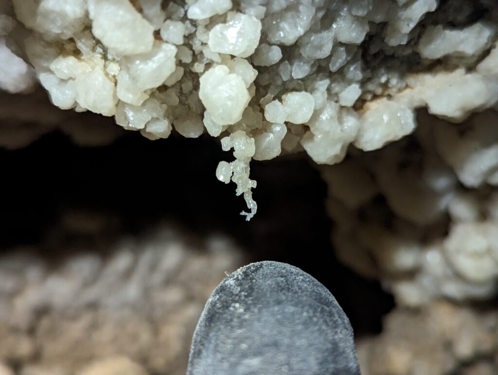
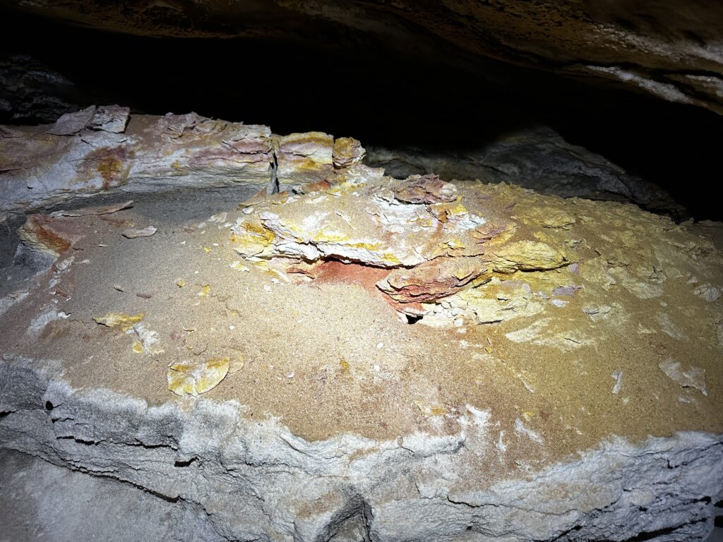
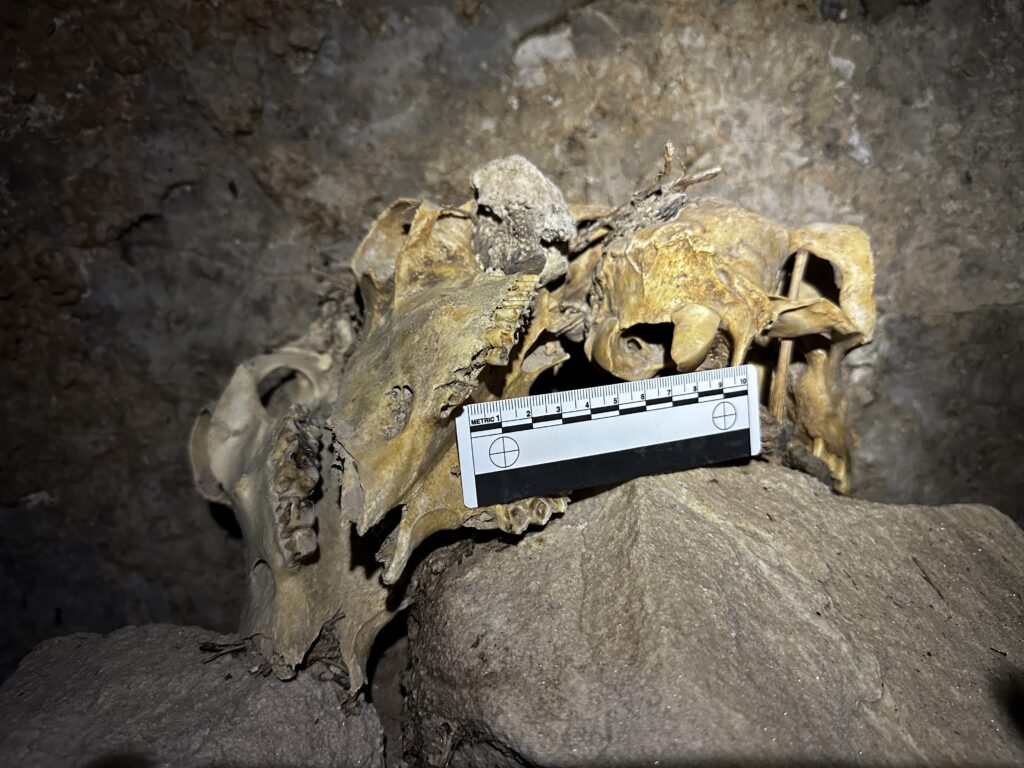
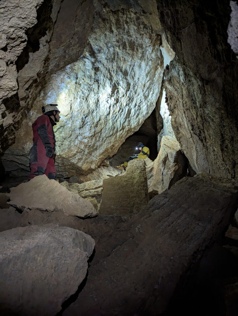
Eoghan and Alex came down to our area, as Eoghan was heading out to start his long drive back home. Alex and Greg checked out the crystal rooms of the dry side, as this was Greg’s first time in Zia Christine. I worked solo to survey the D3A section. It was tedious to move back and forth to set and shoot stations by myself. The passage curves NE, probably following the curve of the sink. It has lots of old guano in this area and the passage ends in a cavernous room with a fresh pile of guano. I could hear a bat squeaking from above.
Alex, Greg, and I left the cave, changed out, and met up with everyone else at the intersection of Bogle Rd and Transwestern.
Alex & Eoghan
Eoghan and I had a few hours to work in Zia Christine before he had to leave to head back to Colorado. We continued working on surveying where Ryan had left off on Friday.
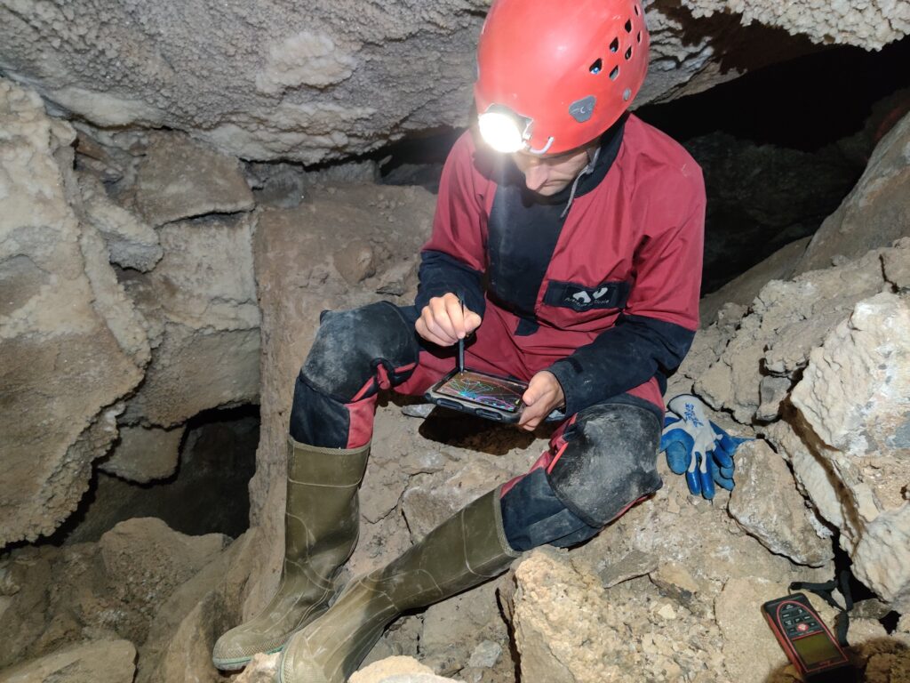
We finished the survey of the room Ryan had been working in, and surveyed a small alcove above.
Then, we went through the squeeze and started working towards the section with delicate gypsum formations. While Eoghan was working on the sketch for this area, I used the time to explore some of the high-level leads. I was able to climb a long way up through breakdown, but all routes I tried became too tight.
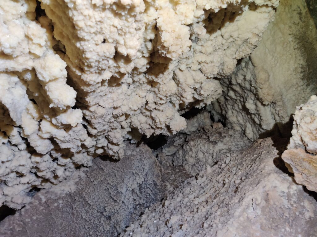
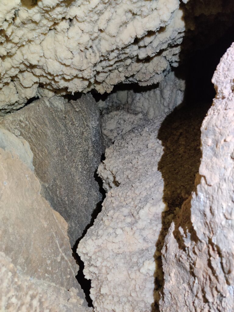
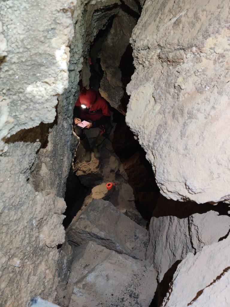
We made good progress, but it was soon time for Eoghan to leave. We went and met up with Greg and Minori, who were working on the passage that leads down from the entrance. We had a quick poke around, and then Eoghan headed out to begin the long drive home.
This was Greg’s first time in the cave, so we decided to split up so that I could take him to see some of the crystal formations at the back.
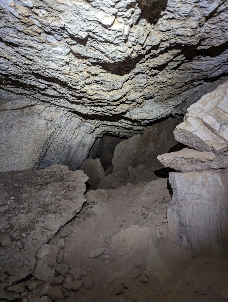
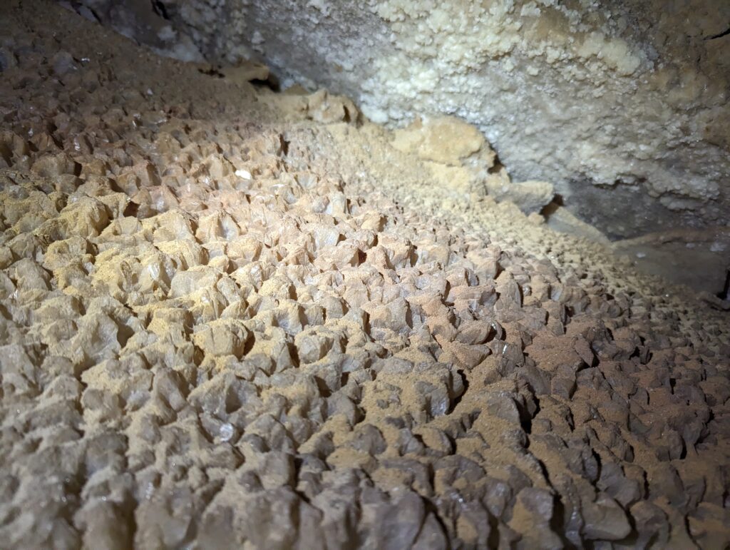
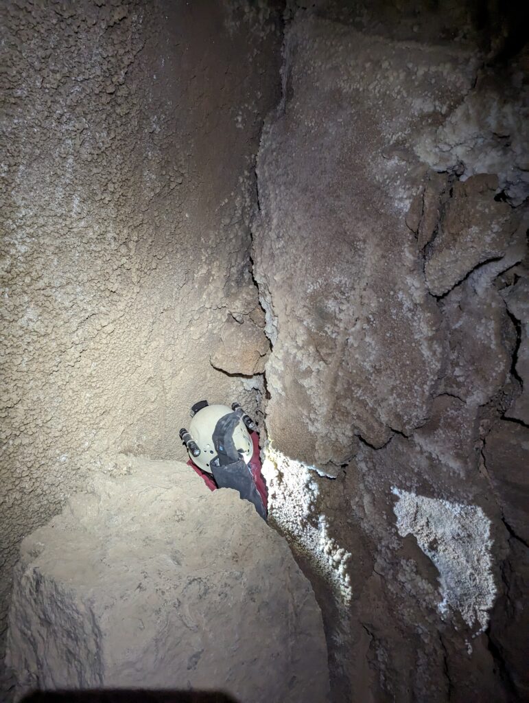

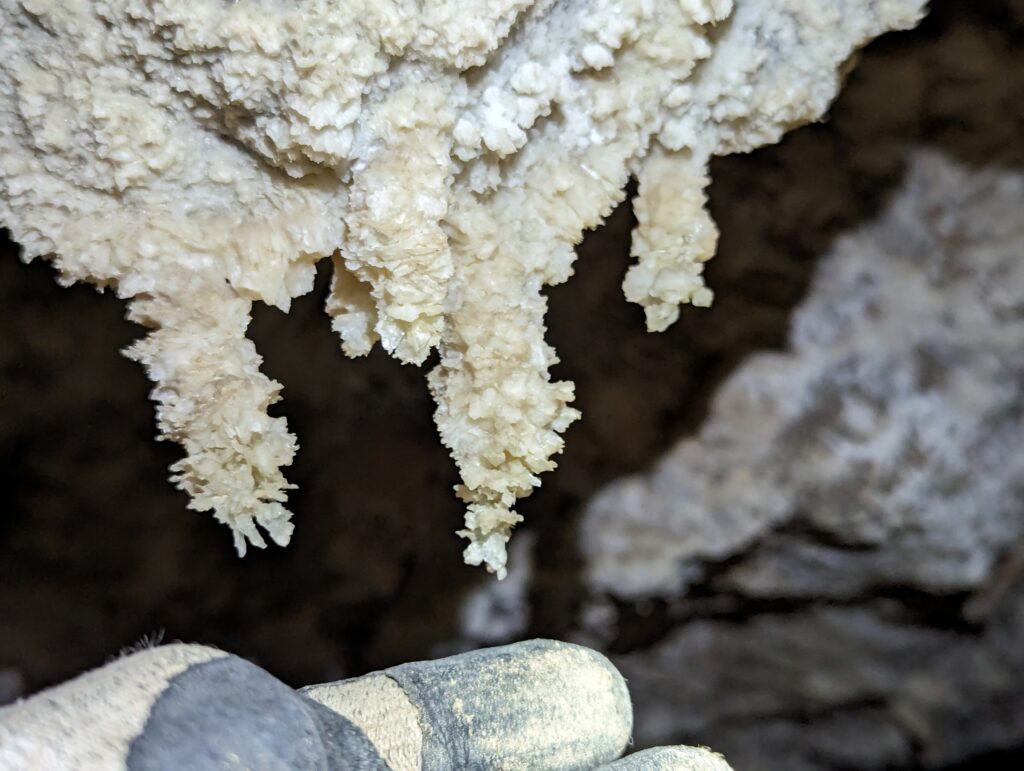
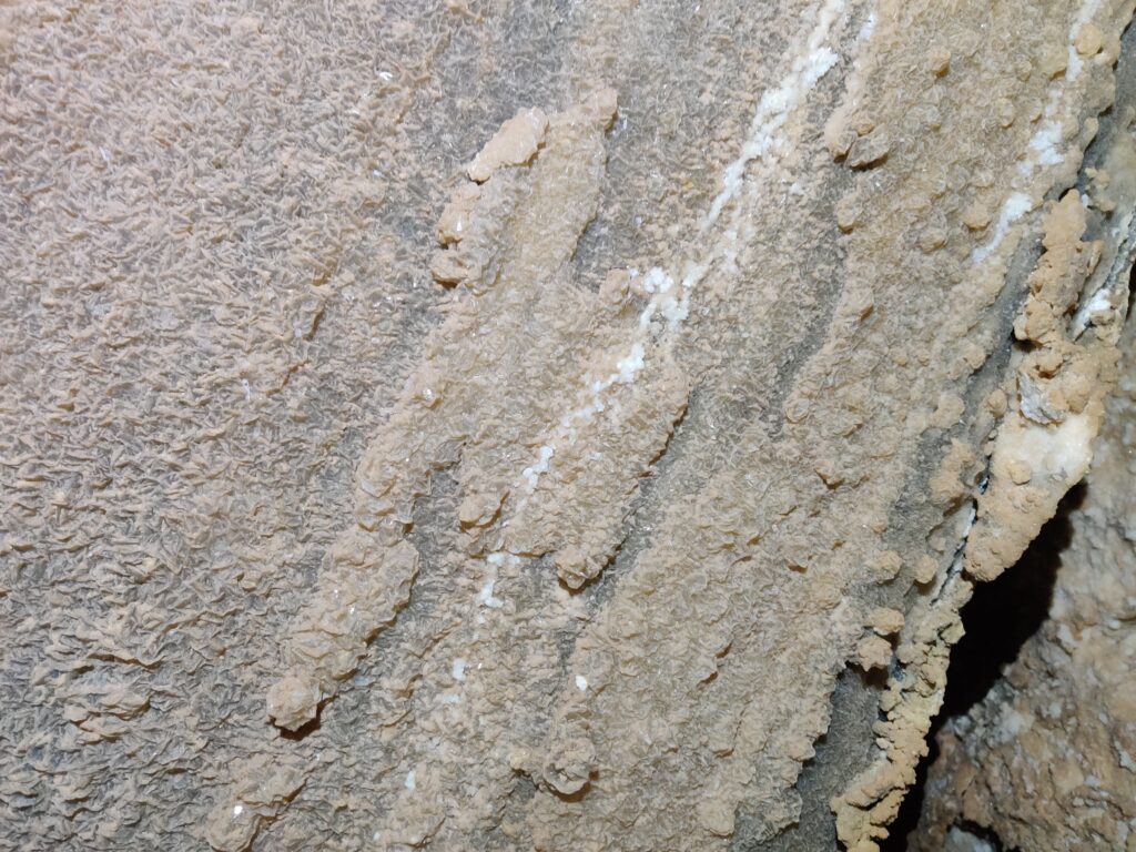
Despite not being a huge fan of the squeeze, he seemed to have a good time. By the time we met back up with Minori it was time to leave, so we headed out to meet up with the others.